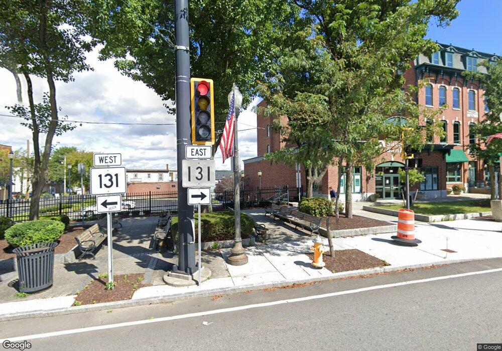
21 Homestead Ave Southbridge, MA 01550
Estimated Value: $336,000 - $384,000
4
Beds
2
Baths
1,598
Sq Ft
$221/Sq Ft
Est. Value
About This Home
This home is located at 21 Homestead Ave, Southbridge, MA 01550 and is currently estimated at $353,593, approximately $221 per square foot. 21 Homestead Ave is a home located in Worcester County with nearby schools including Trinity Catholic Academy and ViewPoint Christian Academy.
Ownership History
Date
Name
Owned For
Owner Type
Purchase Details
Closed on
Aug 22, 1977
Bought by
Cipro Sebastiano R and Cipro Mary
Current Estimated Value
Create a Home Valuation Report for This Property
The Home Valuation Report is an in-depth analysis detailing your home's value as well as a comparison with similar homes in the area
Home Values in the Area
Average Home Value in this Area
Purchase History
| Date | Buyer | Sale Price | Title Company |
|---|---|---|---|
| Cipro Sebastiano R | $26,800 | -- |
Source: Public Records
Mortgage History
| Date | Status | Borrower | Loan Amount |
|---|---|---|---|
| Open | Cipro Sebastiano R | $50,000 |
Source: Public Records
Tax History Compared to Growth
Tax History
| Year | Tax Paid | Tax Assessment Tax Assessment Total Assessment is a certain percentage of the fair market value that is determined by local assessors to be the total taxable value of land and additions on the property. | Land | Improvement |
|---|---|---|---|---|
| 2025 | $4,254 | $290,200 | $36,800 | $253,400 |
| 2024 | $3,861 | $253,000 | $30,600 | $222,400 |
| 2023 | $3,768 | $237,900 | $30,600 | $207,300 |
| 2022 | $3,566 | $199,200 | $26,200 | $173,000 |
| 2021 | $3,606 | $185,500 | $26,200 | $159,300 |
| 2020 | $3,349 | $171,900 | $26,200 | $145,700 |
| 2018 | $2,588 | $124,700 | $23,300 | $101,400 |
| 2017 | $2,557 | $124,300 | $23,300 | $101,000 |
| 2016 | $2,320 | $114,800 | $23,300 | $91,500 |
| 2015 | $2,490 | $122,300 | $23,300 | $99,000 |
| 2014 | $2,312 | $117,700 | $23,300 | $94,400 |
Source: Public Records
Map
Nearby Homes
- 421 Charlton St
- 219 Charlton St
- 65 Green Ave
- 51 Green Ave
- 269 Mechanic St
- 796 Charlton St
- 150 Clemence Hill Rd
- 97 Worcester St
- 89 Worcester St
- 7 Pearl St
- 127 Cliff St
- 23 Twine Hurst Place
- 216 Fiske St
- 15 Twine Hurst Place
- 99 North St Unit 1ST
- 876 Worcester St
- 21 Edwards St
- 29 Fiske St
- 28 Maple St
- 318 Main St
- 15 Kim Dr
- 418R Worcester St
- 489 Charlton St
- 481 Charlton St
- 497 Charlton St
- LOT 4G Pleasant St
- 475 Charlton St
- 416 Worcester St Unit 418
- 402 Worcester St
- 503 Charlton St
- 434 Worcester St
- 484 Charlton St
- 465 Charlton St
- 398 Worcester St
- 398 Worcester St Unit 1
- 398 Worcester St Unit 2
- 488 Charlton St
- 436 Worcester St
- 509 Charlton St
- 474 Charlton St
