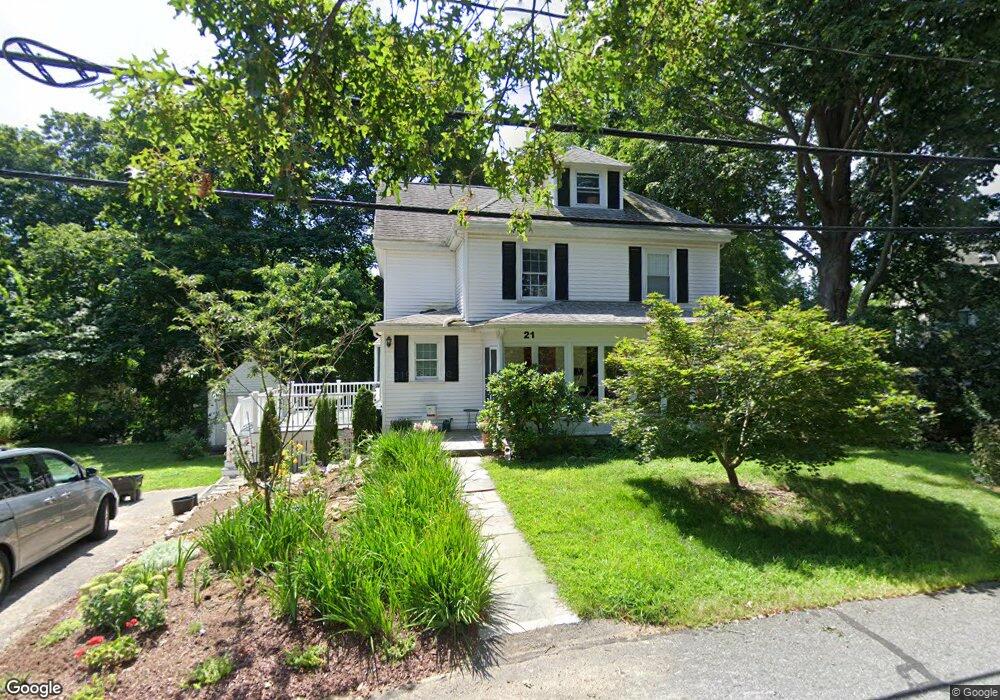
21 Howe St Wellesley, MA 02482
Wellesley Square NeighborhoodEstimated Value: $1,421,604 - $1,621,000
4
Beds
3
Baths
2,148
Sq Ft
$725/Sq Ft
Est. Value
About This Home
This home is located at 21 Howe St, Wellesley, MA 02482 and is currently estimated at $1,556,401, approximately $724 per square foot. 21 Howe St is a home located in Norfolk County with nearby schools including Sprague Elementary School, Wellesley Middle School, and Wellesley Sr High School.
Ownership History
Date
Name
Owned For
Owner Type
Purchase Details
Closed on
Mar 16, 2023
Sold by
Roberts Mary W and Roberts George J
Bought by
Roberts Rt
Current Estimated Value
Purchase Details
Closed on
May 4, 1994
Sold by
Foley Maurice V and Foley Mary A
Bought by
Roberts George J and Roberts Mary W
Home Financials for this Owner
Home Financials are based on the most recent Mortgage that was taken out on this home.
Original Mortgage
$192,000
Interest Rate
7.7%
Mortgage Type
Purchase Money Mortgage
Create a Home Valuation Report for This Property
The Home Valuation Report is an in-depth analysis detailing your home's value as well as a comparison with similar homes in the area
Home Values in the Area
Average Home Value in this Area
Purchase History
| Date | Buyer | Sale Price | Title Company |
|---|---|---|---|
| Roberts Rt | -- | None Available | |
| Roberts George J | $240,000 | -- |
Source: Public Records
Mortgage History
| Date | Status | Borrower | Loan Amount |
|---|---|---|---|
| Previous Owner | Roberts George J | $192,000 |
Source: Public Records
Tax History
| Year | Tax Paid | Tax Assessment Tax Assessment Total Assessment is a certain percentage of the fair market value that is determined by local assessors to be the total taxable value of land and additions on the property. | Land | Improvement |
|---|---|---|---|---|
| 2025 | $12,840 | $1,249,000 | $1,036,000 | $213,000 |
| 2024 | $11,940 | $1,147,000 | $942,000 | $205,000 |
| 2023 | $12,000 | $1,048,000 | $834,000 | $214,000 |
| 2022 | $11,166 | $956,000 | $716,000 | $240,000 |
| 2021 | $10,869 | $925,000 | $685,000 | $240,000 |
| 2020 | $10,693 | $925,000 | $685,000 | $240,000 |
| 2019 | $10,344 | $894,000 | $654,000 | $240,000 |
| 2018 | $9,990 | $836,000 | $633,000 | $203,000 |
| 2017 | $9,856 | $836,000 | $633,000 | $203,000 |
| 2016 | $9,665 | $817,000 | $622,000 | $195,000 |
| 2015 | $9,086 | $786,000 | $593,000 | $193,000 |
Source: Public Records
Map
Nearby Homes
- 148 Weston Rd Unit 208
- 63 Linden St Unit 1
- 63 Linden St Unit 6
- 26B Pleasant St Unit B
- 34 Pleasant St Unit 5
- 100 Linden St Unit 111
- 5 Abbott St
- 63 Oak St Unit B
- 40 Pinewood Rd
- 78 Denton Rd
- 29 Pinewood Rd
- 16 Stearns Rd Unit 101
- 16 Stearns Rd Unit 106
- 16 Stearns Rd Unit 103
- 16 Stearns Rd Unit 304
- 16 Stearns Rd Unit 104
- 85 Grove St Unit 311
- 85 Grove St Unit 306
- 85 Grove St Unit 203
- 48 Patton Rd
Your Personal Tour Guide
Ask me questions while you tour the home.