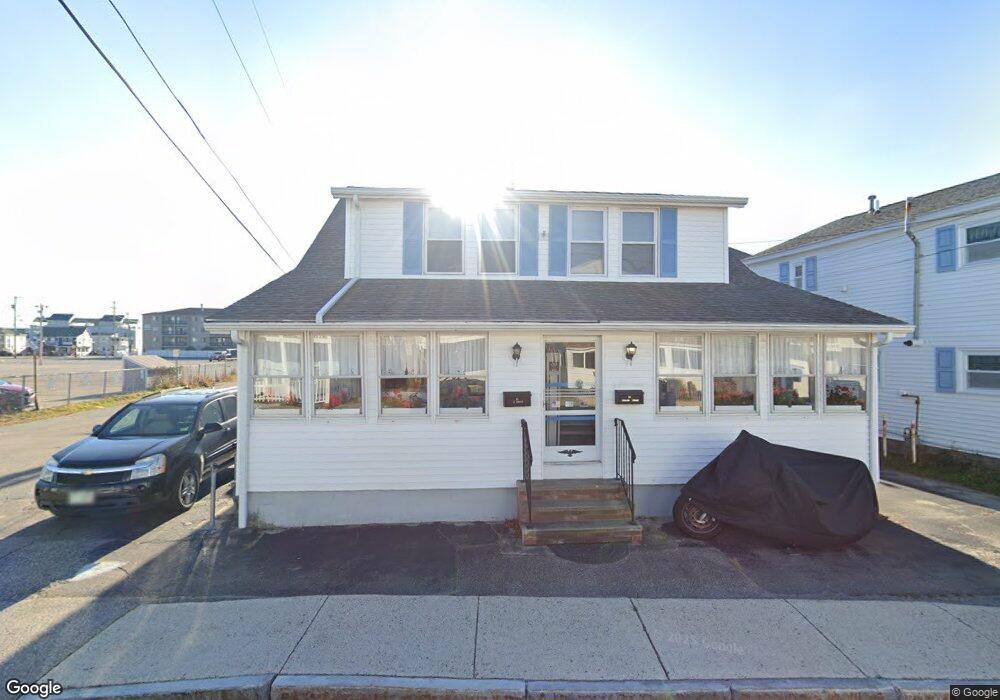
21 Island Path Hampton, NH 03842
Estimated Value: $747,000 - $836,000
4
Beds
2
Baths
2,216
Sq Ft
$353/Sq Ft
Est. Value
About This Home
This home is located at 21 Island Path, Hampton, NH 03842 and is currently estimated at $781,978, approximately $352 per square foot. 21 Island Path is a home located in Rockingham County with nearby schools including Hampton Centre School, Adeline C. Marston Elementary School, and Hampton Academy.
Ownership History
Date
Name
Owned For
Owner Type
Purchase Details
Closed on
Aug 28, 2017
Sold by
Mckenzie Charles J
Bought by
E T & C J Mckenzie Jr Re
Current Estimated Value
Purchase Details
Closed on
Jun 20, 2016
Sold by
Mckenzie T
Bought by
Mckenzie Charles J
Create a Home Valuation Report for This Property
The Home Valuation Report is an in-depth analysis detailing your home's value as well as a comparison with similar homes in the area
Home Values in the Area
Average Home Value in this Area
Purchase History
We collect this data history from publicly available records. To have your information removed, we recommend requesting removal directly through your county’s website.
| Date | Buyer | Sale Price | Title Company |
|---|---|---|---|
| E T & C J Mckenzie Jr Re | -- | -- | |
| Mckenzie Charles J | -- | -- |
Source: Public Records
Tax History
| Year | Tax Paid | Tax Assessment Tax Assessment Total Assessment is a certain percentage of the fair market value that is determined by local assessors to be the total taxable value of land and additions on the property. | Land | Improvement |
|---|---|---|---|---|
| 2025 | $8,931 | $724,900 | $430,100 | $294,800 |
| 2024 | $8,931 | $724,900 | $430,100 | $294,800 |
| 2023 | $6,685 | $399,100 | $210,200 | $188,900 |
| 2022 | $6,322 | $399,100 | $210,200 | $188,900 |
| 2021 | $6,322 | $399,100 | $210,200 | $188,900 |
| 2020 | $6,358 | $399,100 | $210,200 | $188,900 |
| 2019 | $6,390 | $399,100 | $210,200 | $188,900 |
| 2018 | $6,187 | $363,500 | $191,100 | $172,400 |
| 2017 | $5,950 | $363,500 | $191,100 | $172,400 |
| 2016 | $5,845 | $363,500 | $191,100 | $172,400 |
| 2015 | $5,675 | $296,200 | $151,100 | $145,100 |
| 2014 | $5,423 | $296,200 | $151,100 | $145,100 |
Source: Public Records
Map
Nearby Homes
- 29 Nudd Ave Unit A
- 6 Ashworth Ave Unit 12
- 26 B St
- 275 Ocean Blvd Unit 303
- 27 Kentville Terrace
- 17 Kentville Terrace
- 6 Chase St
- 56 Nudd Ave
- 27 Bittersweet Ln
- 359 Ocean Blvd Unit 24
- 19 F St
- 21 Fuller Acres Unit 4
- 377 Ocean Blvd Unit 16
- 12 Manchester St
- 155 Island Path Unit A
- 401A Ocean Blvd Unit 1
- 401A Ocean Blvd Unit 2
- 407 Ocean Blvd Unit B2
- 407 Ocean Blvd Unit B11
- 407 Ocean Blvd Unit A5
- 21 Island Path Unit ID1045445P
- 10 Jones Ave Unit 6
- 23 Island Path Unit D6
- 23 Island Path Unit C7
- 23 Island Path Unit B4
- 23 Island Path Unit B3
- 23 Island Path Unit A2
- 23 Island Path Unit A1
- 22 Island Path Unit 1
- 22 Island Path
- 15 Island Path Unit 8
- 15 Island Path Unit 7
- 15 Island Path Unit 6
- 15 Island Path Unit 5
- 15 Island Path Unit 4
- 15 Island Path Unit 3
- 15 Island Path Unit 2
- 15 Island Path Unit 1
- 8 Jones Ave
- 8 Jones Ave Unit SI ID1045445P
Your Personal Tour Guide
Ask me questions while you tour the home.