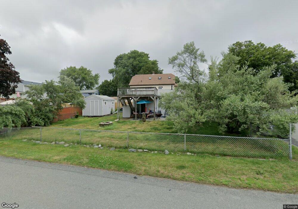
21 Keene St Somerset, MA 02725
Brayton Point NeighborhoodEstimated Value: $357,000 - $481,286
5
Beds
2
Baths
1,700
Sq Ft
$238/Sq Ft
Est. Value
About This Home
This home is located at 21 Keene St, Somerset, MA 02725 and is currently estimated at $404,322, approximately $237 per square foot. 21 Keene St is a home located in Bristol County with nearby schools including South Elementary School, Somerset Middle School, and St. Michael's School.
Ownership History
Date
Name
Owned For
Owner Type
Purchase Details
Closed on
Jan 10, 2011
Sold by
Cabral Noel J and Cabral Patricia Ann
Bought by
Mcmillan Wendy Beth and Cabral Noel J
Current Estimated Value
Purchase Details
Closed on
Mar 20, 1974
Bought by
Cabral Noel L and Cabral Patricia Ann
Create a Home Valuation Report for This Property
The Home Valuation Report is an in-depth analysis detailing your home's value as well as a comparison with similar homes in the area
Home Values in the Area
Average Home Value in this Area
Purchase History
| Date | Buyer | Sale Price | Title Company |
|---|---|---|---|
| Mcmillan Wendy Beth | -- | -- | |
| Mcmillan Wendy Beth | -- | -- | |
| Cabral Noel L | -- | -- |
Source: Public Records
Mortgage History
| Date | Status | Borrower | Loan Amount |
|---|---|---|---|
| Previous Owner | Cabral Noel L | $123,200 | |
| Previous Owner | Cabral Noel L | $65,000 | |
| Previous Owner | Cabral Noel L | $20,000 |
Source: Public Records
Tax History Compared to Growth
Tax History
| Year | Tax Paid | Tax Assessment Tax Assessment Total Assessment is a certain percentage of the fair market value that is determined by local assessors to be the total taxable value of land and additions on the property. | Land | Improvement |
|---|---|---|---|---|
| 2025 | $5,065 | $380,800 | $150,400 | $230,400 |
| 2024 | $4,593 | $359,100 | $150,400 | $208,700 |
| 2023 | $4,149 | $327,200 | $125,100 | $202,100 |
| 2022 | $4,009 | $299,400 | $107,900 | $191,500 |
| 2021 | $4,009 | $273,100 | $97,500 | $175,600 |
| 2020 | $3,702 | $243,200 | $97,600 | $145,600 |
| 2019 | $4,187 | $229,400 | $97,600 | $131,800 |
| 2018 | $3,635 | $214,300 | $94,000 | $120,300 |
| 2017 | $3,550 | $204,000 | $89,600 | $114,400 |
| 2016 | $3,383 | $193,200 | $78,800 | $114,400 |
| 2015 | $3,645 | $210,100 | $90,800 | $119,300 |
| 2014 | $4,905 | $203,100 | $90,800 | $112,300 |
Source: Public Records
Map
Nearby Homes
- 462 Harbor View Blvd
- 132 Jackson Ave
- 167 Mercier Ave
- 159 Wilder St
- 19 Keller Ave
- 105 Cornhill Rd
- 1 Taunton River
- 700 Shore Dr Unit 6-604
- 700 Shore Dr Unit 1205
- 700 Shore Dr Unit 1106
- 123 Calef Ave
- 130 Broadway
- 750 Davol St Unit 1012
- 750 Davol St Unit 119
- 750 Davol St Unit 324
- 143 Fountain St
- 337 Danforth St Unit 7
- 339 Danforth St Unit 6
- 315 William St
- 327 William St