21 Kendal Ham Dr Bridgton, ME 04009
Estimated Value: $486,000 - $1,244,000
3
Beds
2
Baths
1,374
Sq Ft
$616/Sq Ft
Est. Value
About This Home
This home is located at 21 Kendal Ham Dr, Bridgton, ME 04009 and is currently estimated at $846,869, approximately $616 per square foot. 21 Kendal Ham Dr is a home located in Cumberland County with nearby schools including Lake Region High School.
Ownership History
Date
Name
Owned For
Owner Type
Purchase Details
Closed on
Nov 18, 2013
Sold by
Creese Richard C and Creese Candice
Bought by
Morgan Sean P
Current Estimated Value
Home Financials for this Owner
Home Financials are based on the most recent Mortgage that was taken out on this home.
Original Mortgage
$360,000
Outstanding Balance
$268,576
Interest Rate
4.24%
Mortgage Type
New Conventional
Estimated Equity
$578,293
Purchase Details
Closed on
Apr 24, 2008
Sold by
Moose Pond Props Llc
Bought by
Creese Richard C and Creese Candice
Home Financials for this Owner
Home Financials are based on the most recent Mortgage that was taken out on this home.
Original Mortgage
$411,000
Interest Rate
6.22%
Mortgage Type
Purchase Money Mortgage
Create a Home Valuation Report for This Property
The Home Valuation Report is an in-depth analysis detailing your home's value as well as a comparison with similar homes in the area
Home Values in the Area
Average Home Value in this Area
Purchase History
| Date | Buyer | Sale Price | Title Company |
|---|---|---|---|
| Morgan Sean P | -- | -- | |
| Creese Richard C | -- | -- |
Source: Public Records
Mortgage History
| Date | Status | Borrower | Loan Amount |
|---|---|---|---|
| Open | Morgan Sean P | $360,000 | |
| Previous Owner | Creese Richard C | $411,000 |
Source: Public Records
Tax History Compared to Growth
Tax History
| Year | Tax Paid | Tax Assessment Tax Assessment Total Assessment is a certain percentage of the fair market value that is determined by local assessors to be the total taxable value of land and additions on the property. | Land | Improvement |
|---|---|---|---|---|
| 2024 | $8,931 | $523,783 | $303,626 | $220,157 |
| 2023 | $9,009 | $523,783 | $303,626 | $220,157 |
| 2022 | $7,962 | $523,783 | $303,626 | $220,157 |
| 2021 | $7,752 | $523,783 | $303,626 | $220,157 |
| 2020 | $7,831 | $523,783 | $303,626 | $220,157 |
| 2019 | $7,857 | $523,783 | $303,626 | $220,157 |
| 2018 | $7,752 | $523,783 | $303,626 | $220,157 |
| 2017 | $8,014 | $523,783 | $303,626 | $220,157 |
| 2016 | $6,599 | $444,375 | $303,626 | $140,749 |
| 2015 | $5,264 | $382,803 | $266,710 | $116,093 |
| 2014 | $5,382 | $382,803 | $266,710 | $116,093 |
Source: Public Records
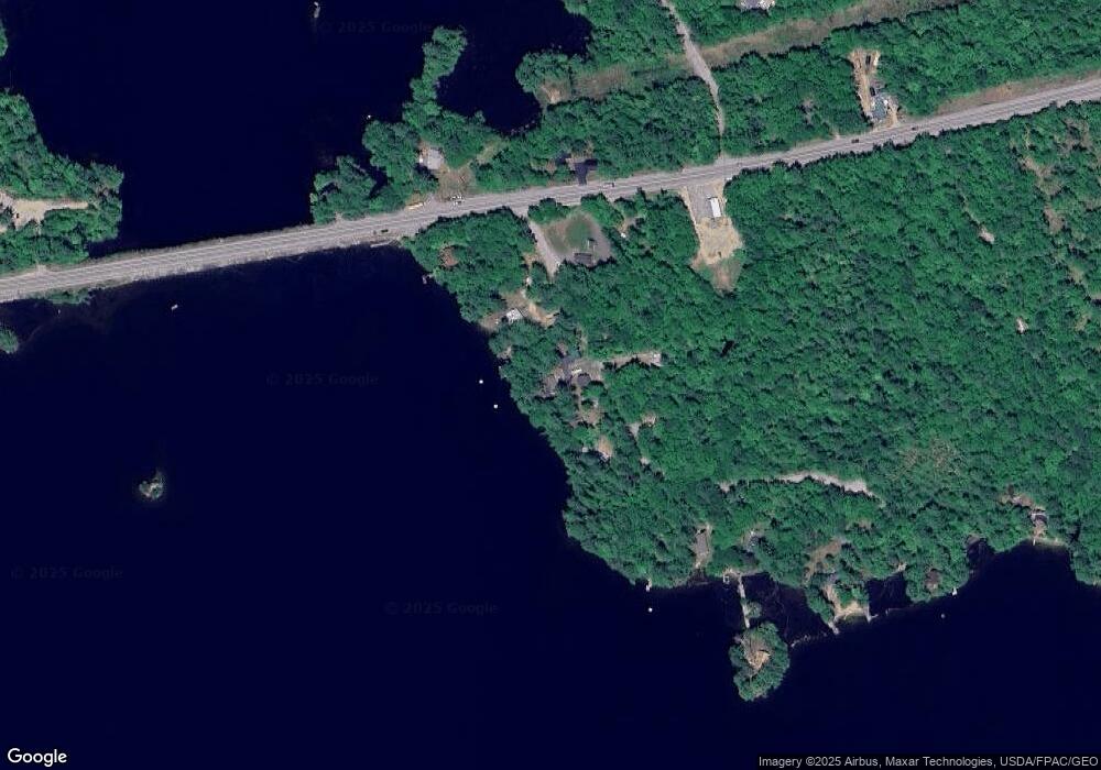
Map
Nearby Homes
- 4 Mountain Rd Unit 4
- 31 Helena Way
- Lot 3 Jameson Dr
- 6 E Pinnacle Rd Unit 6
- 699 N North High St
- 10 N Bay Rd
- 5 Elk Ln
- 665 N High St
- 260 Hio Ridge Rd
- 188 Knights Hill Rd
- 380 Hio Ridge Rd
- Lot 1 Whitney Rd
- 11 Campbell Dr
- 144 Kezar Heights
- 515 Sweden Rd
- 28 Colony Ln
- 294 Hio Ridge Shores S
- 97 Kezar Heights
- 46 Highland Pines Rd
- 0 Hio Ridge Rd Unit 1637364
- 15 Kendal Ham Dr
- 8 Kendal Ham Dr
- 958 N High St
- 29 Kendal Ham Dr
- 63 Cedar Dr
- 53A Cedar Dr
- 33 Kendal Ham Dr
- 0 Cedar
- 961 N High St
- 39 Kendal Ham Dr
- 975 N High St
- 985 N North High St
- 985 N High St
- LOT 15 Cedar Dr
- 939 N High St
- LOT 1 Peak View Estates
- 28 Cedar Dr
- 935 N High St
- Lot 4 Peak View
- Lot 6 Peakview Ln