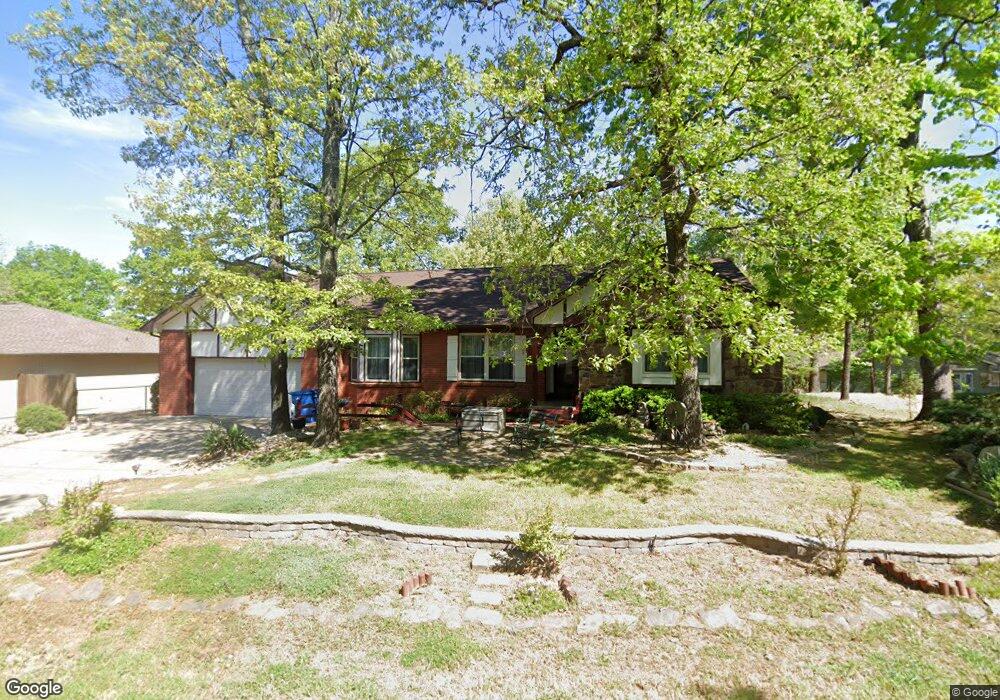
21 Kensington Dr Bella Vista, AR 72715
Estimated Value: $391,000 - $442,000
3
Beds
2
Baths
2,375
Sq Ft
$178/Sq Ft
Est. Value
About This Home
This home is located at 21 Kensington Dr, Bella Vista, AR 72715 and is currently estimated at $423,433, approximately $178 per square foot. 21 Kensington Dr is a home located in Benton County with nearby schools including Thomas Jefferson Elementary School, Lincoln Junior High School, and Old High Middle School.
Ownership History
Date
Name
Owned For
Owner Type
Purchase Details
Closed on
Oct 30, 2000
Bought by
Vonholdt Tr
Current Estimated Value
Purchase Details
Closed on
Jul 23, 1998
Bought by
Von Holdt Rev Living Trust
Purchase Details
Closed on
Aug 14, 1996
Bought by
Bridges
Purchase Details
Closed on
Oct 24, 1991
Bought by
Baker
Purchase Details
Closed on
Mar 22, 1985
Bought by
Springer
Purchase Details
Closed on
Jan 10, 1983
Bought by
Atherton
Create a Home Valuation Report for This Property
The Home Valuation Report is an in-depth analysis detailing your home's value as well as a comparison with similar homes in the area
Home Values in the Area
Average Home Value in this Area
Purchase History
| Date | Buyer | Sale Price | Title Company |
|---|---|---|---|
| Vonholdt Tr | $115,000 | -- | |
| Von Holdt Rev Living Trust | -- | -- | |
| Bridges | $130,000 | -- | |
| Baker | $128,000 | -- | |
| Springer | $100,000 | -- | |
| Atherton | $8,000 | -- |
Source: Public Records
Tax History Compared to Growth
Tax History
| Year | Tax Paid | Tax Assessment Tax Assessment Total Assessment is a certain percentage of the fair market value that is determined by local assessors to be the total taxable value of land and additions on the property. | Land | Improvement |
|---|---|---|---|---|
| 2025 | $1,550 | $77,783 | $1,600 | $76,183 |
| 2024 | $1,534 | $77,783 | $1,600 | $76,183 |
| 2023 | $1,534 | $50,510 | $800 | $49,710 |
| 2022 | $1,206 | $50,510 | $800 | $49,710 |
| 2021 | $1,205 | $50,510 | $800 | $49,710 |
| 2020 | $1,219 | $34,350 | $600 | $33,750 |
| 2019 | $1,219 | $34,350 | $600 | $33,750 |
| 2018 | $1,244 | $34,350 | $600 | $33,750 |
| 2017 | $1,184 | $34,350 | $600 | $33,750 |
| 2016 | $1,184 | $34,350 | $600 | $33,750 |
| 2015 | $1,488 | $31,160 | $1,000 | $30,160 |
| 2014 | $1,138 | $31,160 | $1,000 | $30,160 |
Source: Public Records
Map
Nearby Homes
- Lot 26 Block 2 Kensington Dr
- 30 Kensington Dr
- 13 Kensington Dr
- 22 Pembroke Ln
- TBD Dunsford Dr
- Lot 23 of Block 1 Dunsford Dr
- 14 Gretchen Ln
- 6 & 8 Gail Ln
- 55 Portsmouth Dr
- 9 Estes Dr
- 9 Connie Ln
- 4 Frensham Ln
- 7 Joanie Ln
- 6 Connie Ln
- 21 Estes Dr
- 3 Lance Ln
- 19 Brompton Dr
- 18 Worstead Ln
- 5 Matlock Cir
- 0 Portsmouth Dr Unit 1319021
- 23 Kensington Dr
- 2 Kensington Dr
- 1 Leverton Ln
- 4 Kensington Ln
- 3904 Kensington Ln
- 22 Kensington Dr
- 40 Leverton Ln
- 20 Kensington Dr
- 0 Leverton Ln
- 1910 Kensington Ln
- 3 Kensington Ln
- 4 Leverton Ln
- -- Leverton Ln L21
- 24 Kensington Dr
- 2 Kensington Ln
- 902 Kensington Dr
- 2889 Kensington Dr
- - Kensington Dr
- ------ Kensington Dr
- 3 Leverton Ln