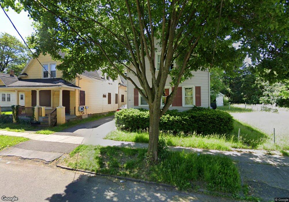
21 Lang St Unit 23 Rochester, NY 14621
Northeast Rochester NeighborhoodEstimated Value: $90,000 - $136,000
4
Beds
2
Baths
2,703
Sq Ft
$40/Sq Ft
Est. Value
About This Home
This home is located at 21 Lang St Unit 23, Rochester, NY 14621 and is currently estimated at $107,624, approximately $39 per square foot. 21 Lang St Unit 23 is a home located in Monroe County with nearby schools including School 8-Roberto Clemente, School 9-DR Martin Luther King Jr, and School 39-Andrew J. Townson.
Ownership History
Date
Name
Owned For
Owner Type
Purchase Details
Closed on
Sep 15, 2015
Sold by
America Real Estate Of Investment Group
Bought by
Alkhudhair Mohammad S A A
Current Estimated Value
Purchase Details
Closed on
May 21, 2015
Sold by
Jones Paulk
Bought by
America Real Estate Investment Group Llc
Purchase Details
Closed on
Mar 9, 2011
Sold by
Bowens Jones Linda and Jones Paul
Bought by
Jones Paul
Purchase Details
Closed on
Dec 9, 1999
Purchase Details
Closed on
Apr 9, 1999
Purchase Details
Closed on
Nov 12, 1998
Create a Home Valuation Report for This Property
The Home Valuation Report is an in-depth analysis detailing your home's value as well as a comparison with similar homes in the area
Home Values in the Area
Average Home Value in this Area
Purchase History
| Date | Buyer | Sale Price | Title Company |
|---|---|---|---|
| Alkhudhair Mohammad S A A | $49,000 | None Available | |
| America Real Estate Investment Group Llc | $45,000 | None Available | |
| Jones Paul | -- | None Available | |
| -- | $13,000 | -- | |
| -- | $13,100 | -- | |
| -- | -- | -- |
Source: Public Records
Tax History Compared to Growth
Tax History
| Year | Tax Paid | Tax Assessment Tax Assessment Total Assessment is a certain percentage of the fair market value that is determined by local assessors to be the total taxable value of land and additions on the property. | Land | Improvement |
|---|---|---|---|---|
| 2024 | $8 | $9,000 | $9,000 | $0 |
| 2023 | $8 | $5,600 | $5,600 | $0 |
| 2022 | $8 | $5,600 | $5,600 | $0 |
| 2021 | $59 | $5,600 | $5,600 | $0 |
| 2020 | $497 | $43,700 | $5,600 | $38,100 |
| 2019 | $720 | $40,000 | $5,600 | $34,400 |
| 2018 | $2,841 | $40,000 | $5,600 | $34,400 |
| 2017 | $2,841 | $40,000 | $5,600 | $34,400 |
| 2016 | $720 | $40,000 | $5,600 | $34,400 |
| 2015 | -- | $30,000 | $5,600 | $24,400 |
| 2014 | -- | $30,000 | $5,600 | $24,400 |
Source: Public Records
Map
Nearby Homes
- 7 Lang St Unit 7
- 1343 N Clinton Ave
- 27-29 Weaver St
- 68 Weaver St
- 330 & 336 Norton St
- 27-29 Trenaman St
- 350 Remington St
- 1010 Joseph Ave
- 32 van Stallen St
- 26 Kohlman St
- 61 Leo St
- 131 Weaver St
- 1227 N Clinton Ave Unit 1221
- 39 Townsend St
- 933 Joseph Ave
- 431-433 Hollenbeck St Unit 2
- 75 van Stallen St
- 24 Nye Park
- 462 Avenue D Unit 464
- 226-228 Norton St