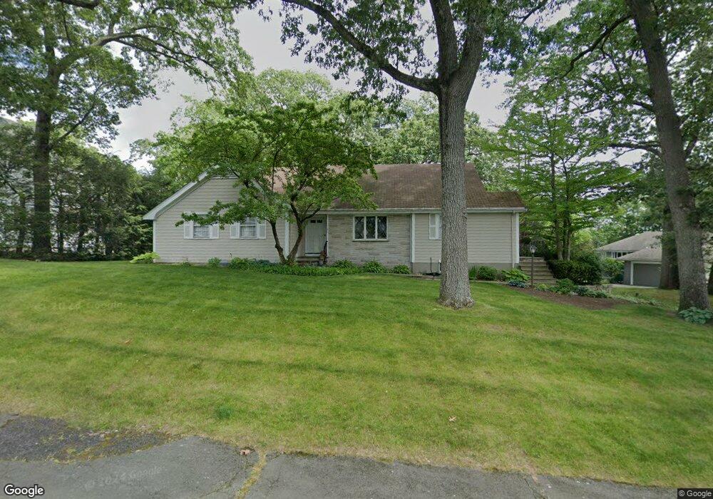
21 Lathrop Rd Wellesley, MA 02482
Dana Hall NeighborhoodEstimated Value: $1,810,785 - $2,244,000
2
Beds
2
Baths
2,069
Sq Ft
$967/Sq Ft
Est. Value
About This Home
This home is located at 21 Lathrop Rd, Wellesley, MA 02482 and is currently estimated at $2,001,196, approximately $967 per square foot. 21 Lathrop Rd is a home located in Norfolk County with nearby schools including Hunnewell Elementary School, Wellesley Middle School, and Wellesley Sr High School.
Ownership History
Date
Name
Owned For
Owner Type
Purchase Details
Closed on
Oct 10, 2023
Sold by
Riley Gail Y
Bought by
Gail Y Riley Ret and Riley
Current Estimated Value
Purchase Details
Closed on
Oct 28, 1991
Sold by
Fuller George C and Fuller Helen I
Bought by
Winslow Walter C and Winslow Gail R
Home Financials for this Owner
Home Financials are based on the most recent Mortgage that was taken out on this home.
Original Mortgage
$191,250
Interest Rate
8.98%
Mortgage Type
Purchase Money Mortgage
Create a Home Valuation Report for This Property
The Home Valuation Report is an in-depth analysis detailing your home's value as well as a comparison with similar homes in the area
Home Values in the Area
Average Home Value in this Area
Purchase History
| Date | Buyer | Sale Price | Title Company |
|---|---|---|---|
| Gail Y Riley Ret | -- | None Available | |
| Winslow Walter C | $330,000 | -- | |
| Winslow Walter C | $330,000 | -- |
Source: Public Records
Mortgage History
| Date | Status | Borrower | Loan Amount |
|---|---|---|---|
| Previous Owner | Winslow Walter C | $63,000 | |
| Previous Owner | Winslow Walter C | $177,000 | |
| Previous Owner | Winslow Walter C | $191,250 |
Source: Public Records
Tax History
| Year | Tax Paid | Tax Assessment Tax Assessment Total Assessment is a certain percentage of the fair market value that is determined by local assessors to be the total taxable value of land and additions on the property. | Land | Improvement |
|---|---|---|---|---|
| 2025 | $15,584 | $1,516,000 | $1,356,000 | $160,000 |
| 2024 | $15,105 | $1,451,000 | $1,295,000 | $156,000 |
| 2023 | $15,274 | $1,334,000 | $1,184,000 | $150,000 |
| 2022 | $13,596 | $1,164,000 | $979,000 | $185,000 |
| 2021 | $13,677 | $1,164,000 | $979,000 | $185,000 |
| 2020 | $13,456 | $1,164,000 | $979,000 | $185,000 |
| 2019 | $13,063 | $1,129,000 | $979,000 | $150,000 |
| 2018 | $10,516 | $880,000 | $767,000 | $113,000 |
| 2017 | $10,363 | $879,000 | $766,000 | $113,000 |
| 2016 | $10,197 | $862,000 | $753,000 | $109,000 |
| 2015 | $9,976 | $863,000 | $754,000 | $109,000 |
Source: Public Records
Map
Nearby Homes
- 20 Arden Rd
- 222 Grove St
- 85 Grove St Unit 311
- 85 Grove St Unit 306
- 85 Grove St Unit 203
- 333 Cartwright Rd
- 78 Denton Rd
- 15 Great Plain Ave
- 3 Midland Rd
- 5 Abbott St
- 100 Linden St Unit 111
- 63 Linden St Unit 1
- 63 Linden St Unit 6
- 15 Alden Rd
- 389 Grove St
- 26B Pleasant St Unit B
- 34 Pleasant St Unit 5
- 121 Livingston Rd
- 148 Weston Rd Unit 208
- 28 Rice St
- 27 Lathrop Rd
- 15 Lathrop Rd
- 22 Lathrop Rd
- 26 Lathrop Rd
- 18 Lathrop Rd
- 31 Lathrop Rd
- 30 Lathrop Rd
- 14 Lathrop Rd
- 7 Lathrop Rd
- 140 Benvenue St
- 146 Benvenue St
- 10 Lathrop Rd
- 44 Woodridge Rd
- 150 Benvenue St
- 136 Benvenue St
- 26 Woodridge Rd
- 50 Woodridge Rd
- 50 Woodridge Rd Unit 50
- 1 Dewing Path
- 8 Lathrop Rd
Your Personal Tour Guide
Ask me questions while you tour the home.