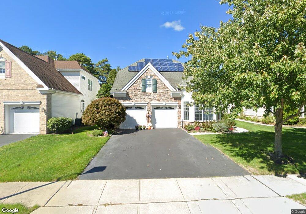
21 Lewis Dr Mays Landing, NJ 08330
Estimated Value: $403,027 - $456,000
--
Bed
--
Bath
2,123
Sq Ft
$200/Sq Ft
Est. Value
About This Home
This home is located at 21 Lewis Dr, Mays Landing, NJ 08330 and is currently estimated at $424,757, approximately $200 per square foot. 21 Lewis Dr is a home located in Atlantic County with nearby schools including Joseph Shaner School, George L. Hess Educational Complex, and William Davies Middle School.
Ownership History
Date
Name
Owned For
Owner Type
Purchase Details
Closed on
Sep 11, 2015
Sold by
Shank Knap Margaret and Knap Margaret J
Bought by
Knap Margaret J
Current Estimated Value
Home Financials for this Owner
Home Financials are based on the most recent Mortgage that was taken out on this home.
Original Mortgage
$192,002
Outstanding Balance
$153,773
Interest Rate
4.5%
Mortgage Type
FHA
Estimated Equity
$270,984
Purchase Details
Closed on
Apr 4, 2005
Sold by
Horizons At Woods Landing Llc
Bought by
Shank Knap Margaret
Home Financials for this Owner
Home Financials are based on the most recent Mortgage that was taken out on this home.
Original Mortgage
$160,000
Interest Rate
4.95%
Mortgage Type
Fannie Mae Freddie Mac
Create a Home Valuation Report for This Property
The Home Valuation Report is an in-depth analysis detailing your home's value as well as a comparison with similar homes in the area
Home Values in the Area
Average Home Value in this Area
Purchase History
| Date | Buyer | Sale Price | Title Company |
|---|---|---|---|
| Knap Margaret J | -- | Attorney | |
| Shank Knap Margaret | $234,810 | American Title |
Source: Public Records
Mortgage History
| Date | Status | Borrower | Loan Amount |
|---|---|---|---|
| Open | Knap Margaret J | $192,002 | |
| Closed | Shank Knap Margaret | $160,000 |
Source: Public Records
Tax History Compared to Growth
Tax History
| Year | Tax Paid | Tax Assessment Tax Assessment Total Assessment is a certain percentage of the fair market value that is determined by local assessors to be the total taxable value of land and additions on the property. | Land | Improvement |
|---|---|---|---|---|
| 2025 | $6,824 | $198,900 | $47,800 | $151,100 |
| 2024 | $6,824 | $198,900 | $47,800 | $151,100 |
| 2023 | $6,417 | $198,900 | $47,800 | $151,100 |
| 2022 | $6,417 | $198,900 | $47,800 | $151,100 |
| 2021 | $6,164 | $191,500 | $47,800 | $143,700 |
| 2020 | $6,164 | $191,500 | $47,800 | $143,700 |
| 2019 | $6,180 | $191,500 | $47,800 | $143,700 |
| 2018 | $5,963 | $191,500 | $47,800 | $143,700 |
| 2017 | $5,869 | $191,500 | $47,800 | $143,700 |
| 2016 | $5,705 | $191,500 | $47,800 | $143,700 |
| 2015 | $5,511 | $191,500 | $47,800 | $143,700 |
| 2014 | $5,488 | $208,900 | $57,800 | $151,100 |
Source: Public Records
Map
Nearby Homes
- 18 Lewis Dr
- 94 Merlino Ln
- 40 Vender Ln
- 55 Lewis Dr
- 42 Ernst Ct
- 0 Cape May Ave
- Bl 531 Lot 8&9 Adams Ave
- 22 Ernst Ct
- 5910 Somerset Dr
- 5906 Vine Dr
- Lot:11.02-12.02 Estelle Ave
- B:534 L:11.01 Estelle Ave
- B:534 L:12.02 Estelle Ave
- B:534 L:11.02 Estelle Ave
- 5910 Redwood Ct
- 1st First Ave
- 5926 Berry Dr
- 717 Route 50
- Rt 50 and Old Mays Landing Rd
- 526 Bainbridge Ave