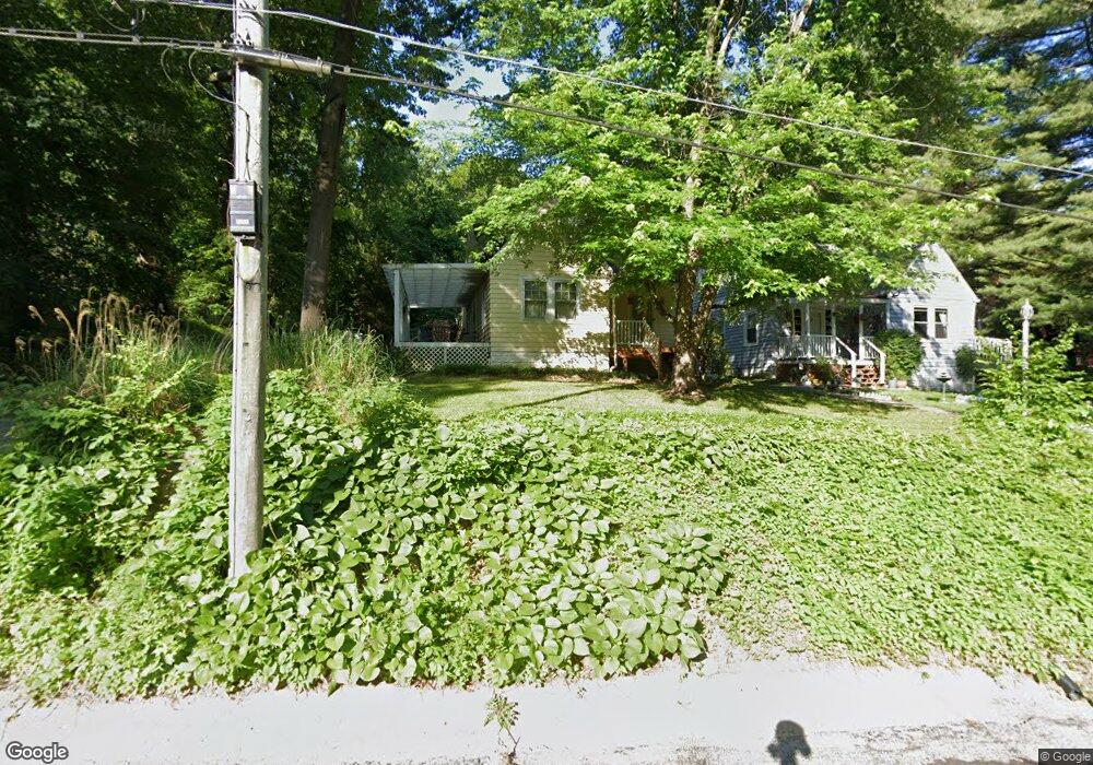
21 Lindorf Dr Belleville, IL 62223
Estimated Value: $149,000 - $211,000
--
Bed
--
Bath
1,144
Sq Ft
$158/Sq Ft
Est. Value
About This Home
This home is located at 21 Lindorf Dr, Belleville, IL 62223 and is currently estimated at $180,748, approximately $157 per square foot. 21 Lindorf Dr is a home located in St. Clair County with nearby schools including Signal Hill Elementary School, Blessed Sacrament Catholic School, and Sister Thea Bowman Catholic School.
Ownership History
Date
Name
Owned For
Owner Type
Purchase Details
Closed on
Dec 5, 2019
Sold by
Kisro Christine and Kisro Mark
Bought by
Kisro Mark E and Kisro Christine E
Current Estimated Value
Purchase Details
Closed on
Jun 25, 2003
Sold by
Draper Philip N and Draper Teresa M
Bought by
Toth Christine and Kisro Mark
Home Financials for this Owner
Home Financials are based on the most recent Mortgage that was taken out on this home.
Original Mortgage
$71,600
Outstanding Balance
$30,749
Interest Rate
5.51%
Mortgage Type
Purchase Money Mortgage
Estimated Equity
$149,999
Create a Home Valuation Report for This Property
The Home Valuation Report is an in-depth analysis detailing your home's value as well as a comparison with similar homes in the area
Home Values in the Area
Average Home Value in this Area
Purchase History
| Date | Buyer | Sale Price | Title Company |
|---|---|---|---|
| Kisro Mark E | -- | None Available | |
| Toth Christine | $89,500 | Town & Country Title Co |
Source: Public Records
Mortgage History
| Date | Status | Borrower | Loan Amount |
|---|---|---|---|
| Open | Toth Christine | $71,600 | |
| Closed | Toth Christine | $17,900 |
Source: Public Records
Tax History Compared to Growth
Tax History
| Year | Tax Paid | Tax Assessment Tax Assessment Total Assessment is a certain percentage of the fair market value that is determined by local assessors to be the total taxable value of land and additions on the property. | Land | Improvement |
|---|---|---|---|---|
| 2024 | $3,105 | $38,857 | $3,037 | $35,820 |
| 2023 | $2,798 | $35,120 | $2,745 | $32,375 |
| 2022 | $2,476 | $30,780 | $2,406 | $28,374 |
| 2021 | $2,374 | $29,167 | $2,280 | $26,887 |
| 2020 | $2,180 | $27,319 | $2,389 | $24,930 |
| 2019 | $2,191 | $27,319 | $2,389 | $24,930 |
| 2018 | $2,239 | $27,718 | $2,424 | $25,294 |
| 2017 | $2,136 | $27,048 | $2,365 | $24,683 |
| 2016 | $2,179 | $25,365 | $2,356 | $23,009 |
| 2014 | $1,916 | $25,089 | $2,330 | $22,759 |
| 2013 | $2,769 | $23,534 | $2,186 | $21,348 |
Source: Public Records
Map
Nearby Homes
- 38 Granvue Dr
- 100 S 98th St
- 14 Granvue Dr
- 462 N 83rd St
- 24 S 95th St
- 2 Bluff Dr
- 6 N 95th St
- 80 N 98th St
- 546 N 81st St
- 6 Hilltop Place
- 11 Calhoun Ln
- 212 Woodcrest Dr
- 324 N Powder Mill Rd
- 839 N 82nd St
- 0 Rogers St Unit MAR24076886
- 211 Country Club Ln
- 22 Country Club Place
- 74 Country Club Place
- 121 E Fairway Dr
- 121 Country Club Place