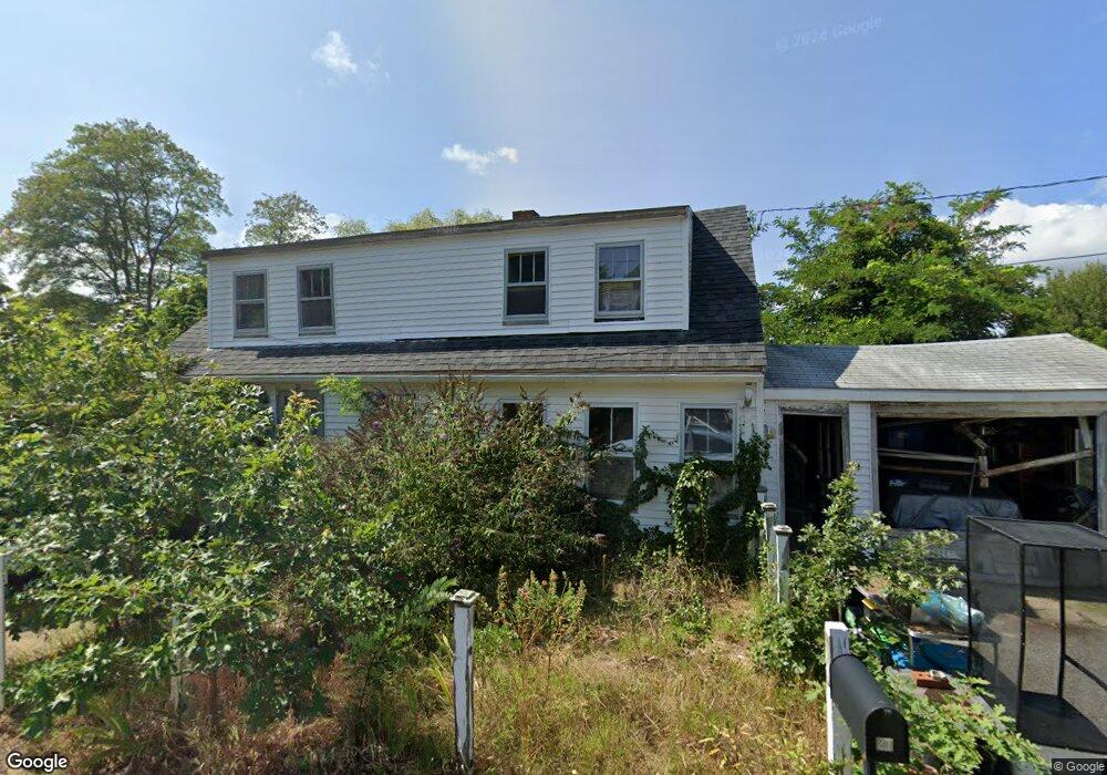
21 Lone Tree Rd Dennis Port, MA 02639
Dennis Port NeighborhoodEstimated Value: $566,000 - $718,000
3
Beds
2
Baths
1,302
Sq Ft
$485/Sq Ft
Est. Value
About This Home
This home is located at 21 Lone Tree Rd, Dennis Port, MA 02639 and is currently estimated at $631,710, approximately $485 per square foot. 21 Lone Tree Rd is a home located in Barnstable County with nearby schools including Dennis-Yarmouth Regional High School and St. Pius X. School.
Create a Home Valuation Report for This Property
The Home Valuation Report is an in-depth analysis detailing your home's value as well as a comparison with similar homes in the area
Home Values in the Area
Average Home Value in this Area
Tax History Compared to Growth
Tax History
| Year | Tax Paid | Tax Assessment Tax Assessment Total Assessment is a certain percentage of the fair market value that is determined by local assessors to be the total taxable value of land and additions on the property. | Land | Improvement |
|---|---|---|---|---|
| 2025 | $2,178 | $503,100 | $202,200 | $300,900 |
| 2024 | $2,100 | $478,300 | $194,500 | $283,800 |
| 2023 | $2,069 | $443,000 | $176,800 | $266,200 |
| 2022 | $1,989 | $355,200 | $159,300 | $195,900 |
| 2021 | $2,014 | $334,000 | $178,400 | $155,600 |
| 2020 | $1,848 | $302,900 | $156,100 | $146,800 |
| 2019 | $5,026 | $283,800 | $153,100 | $130,700 |
| 2018 | $1,707 | $269,200 | $145,700 | $123,500 |
| 2017 | $4,216 | $258,800 | $135,300 | $123,500 |
| 2016 | $1,616 | $247,400 | $145,700 | $101,700 |
| 2015 | $1,583 | $247,400 | $145,700 | $101,700 |
| 2014 | $1,447 | $227,900 | $124,900 | $103,000 |
Source: Public Records
Map
Nearby Homes
- 71 Main St
- 4 Coffey Ln
- 19 Standish Way
- 12 Spoonbill Rd
- 125 Main St Unit 3
- 80 Michaels Ave
- 22 Wixon Rd
- 95 Center St
- 72 Bassett Ln
- 15 Woodside Park Rd
- 268 Main St
- 26 Center St
- 31 Easy St
- 3 Pinefield Ln
- 20 Aunt Debbys Rd
- 61 Trotters Ln
- 78 Upper County Rd Unit A&B
- 78 Upper County Rd
- 24 Indian Trail
- 37 Ocean Dr Unit 2
- 25 Lone Tree Rd
- 17 Lone Tree Rd
- 26 Lone Tree Rd
- 26 Lone Tree Rd Unit B
- 26 Lone Tree Rd Unit A
- 26 Lone Tree Rd Unit 1&2
- 15 Lone Tree Rd
- 18 Lone Tree Rd
- 32 Lone Tree Rd
- 14 Lone Tree Rd
- 31 Lone Tree Rd
- 45 Lone Tree Rd
- 17 Shad Hole Rd
- 7 Michaels Ave
- 35 Lone Tree Rd
- 8 Lone Tree Rd
- 9 Michaels Ave
- 19 Main St
- 5 Michaels Ave
- 12 Pintail Rd