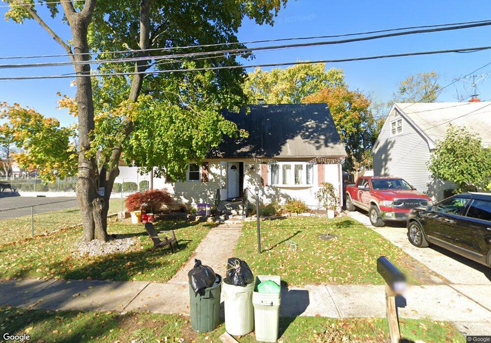
21 Loomis Ave Trenton, NJ 08610
Estimated Value: $274,051 - $346,000
--
Bed
--
Bath
1,142
Sq Ft
$284/Sq Ft
Est. Value
About This Home
This home is located at 21 Loomis Ave, Trenton, NJ 08610 and is currently estimated at $324,513, approximately $284 per square foot. 21 Loomis Ave is a home located in Mercer County with nearby schools including Kuser Elementary School, Emily C. Reynolds Middle School, and Steinert - Hamilton High East.
Ownership History
Date
Name
Owned For
Owner Type
Purchase Details
Closed on
Feb 17, 2024
Sold by
Sensi Joseph
Bought by
Joseph Sensi Properties Llc
Current Estimated Value
Purchase Details
Closed on
Sep 12, 2017
Sold by
Mcbride James P and Mcbride Catherine
Bought by
Sensi Joseph
Purchase Details
Closed on
Aug 1, 2003
Sold by
Exer Carl J Levandusky
Bought by
Mcbride James P
Home Financials for this Owner
Home Financials are based on the most recent Mortgage that was taken out on this home.
Original Mortgage
$165,933
Interest Rate
6.02%
Mortgage Type
Purchase Money Mortgage
Create a Home Valuation Report for This Property
The Home Valuation Report is an in-depth analysis detailing your home's value as well as a comparison with similar homes in the area
Home Values in the Area
Average Home Value in this Area
Purchase History
| Date | Buyer | Sale Price | Title Company |
|---|---|---|---|
| Joseph Sensi Properties Llc | -- | None Listed On Document | |
| Joseph Sensi Properties Llc | -- | None Listed On Document | |
| Sensi Joseph | $104,000 | None Available | |
| Mcbride James P | $179,000 | -- |
Source: Public Records
Mortgage History
| Date | Status | Borrower | Loan Amount |
|---|---|---|---|
| Previous Owner | Mcbride James P | $165,933 |
Source: Public Records
Tax History Compared to Growth
Tax History
| Year | Tax Paid | Tax Assessment Tax Assessment Total Assessment is a certain percentage of the fair market value that is determined by local assessors to be the total taxable value of land and additions on the property. | Land | Improvement |
|---|---|---|---|---|
| 2025 | $4,972 | $141,100 | $36,200 | $104,900 |
| 2024 | $4,661 | $141,100 | $36,200 | $104,900 |
| 2023 | $4,661 | $141,100 | $36,200 | $104,900 |
| 2022 | $4,587 | $141,100 | $36,200 | $104,900 |
| 2021 | $5,676 | $141,100 | $36,200 | $104,900 |
| 2020 | $5,168 | $141,100 | $36,200 | $104,900 |
| 2019 | $5,016 | $141,100 | $36,200 | $104,900 |
| 2018 | $4,792 | $136,600 | $31,700 | $104,900 |
| 2017 | $4,579 | $136,600 | $31,700 | $104,900 |
| 2016 | $3,694 | $136,600 | $31,700 | $104,900 |
| 2015 | $4,943 | $94,900 | $25,900 | $69,000 |
| 2014 | $4,879 | $94,900 | $25,900 | $69,000 |
Source: Public Records
Map
Nearby Homes
- 29 Loomis Ave
- 37 Loomis Ave
- 1282 S Olden Ave
- 24 Hartley Ave
- 1262 S Olden Ave
- 5 Loomis Ave
- 38 Hartley Ave
- 51 Loomis Ave
- 1248 S Olden Ave
- 50 Hartley Ave
- 655 Newkirk Ave
- 659 Newkirk Ave
- 641 Newkirk Ave
- 1316 S Olden Ave
- 58 Hartley Ave
- 63 Loomis Ave
- 621 Newkirk Ave
- 665 Newkirk Ave
- 1326 S Olden Ave
- 71 Loomis Ave