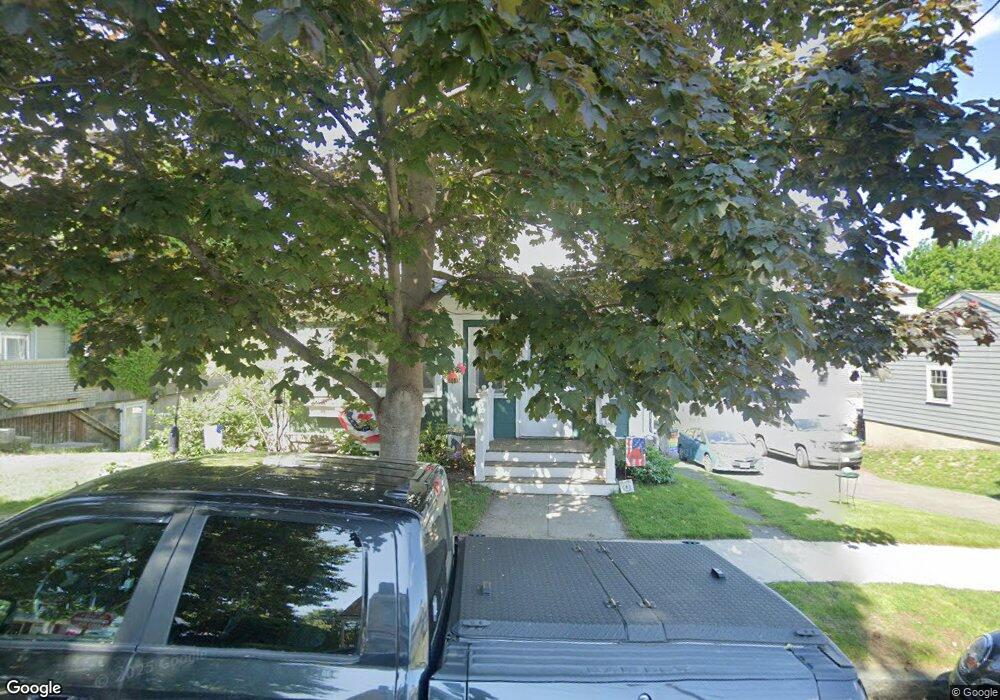
21 Loring Rd Winthrop, MA 02152
Court Park NeighborhoodEstimated Value: $786,136 - $884,000
4
Beds
3
Baths
1,869
Sq Ft
$448/Sq Ft
Est. Value
About This Home
This home is located at 21 Loring Rd, Winthrop, MA 02152 and is currently estimated at $837,284, approximately $447 per square foot. 21 Loring Rd is a home located in Suffolk County with nearby schools including William P. Gorman/Fort Banks Elementary School, Arthur T. Cummings Elementary School, and Winthrop Middle School.
Ownership History
Date
Name
Owned For
Owner Type
Purchase Details
Closed on
Dec 20, 1994
Sold by
Oliver Ft and Guilfoyle Janet
Bought by
Flanagan Charles J and Flanagan Patricia C
Current Estimated Value
Create a Home Valuation Report for This Property
The Home Valuation Report is an in-depth analysis detailing your home's value as well as a comparison with similar homes in the area
Home Values in the Area
Average Home Value in this Area
Purchase History
| Date | Buyer | Sale Price | Title Company |
|---|---|---|---|
| Flanagan Charles J | $165,000 | -- |
Source: Public Records
Mortgage History
| Date | Status | Borrower | Loan Amount |
|---|---|---|---|
| Open | Flanagan Charles J | $383,000 | |
| Closed | Flanagan Charles J | $210,000 |
Source: Public Records
Tax History
| Year | Tax Paid | Tax Assessment Tax Assessment Total Assessment is a certain percentage of the fair market value that is determined by local assessors to be the total taxable value of land and additions on the property. | Land | Improvement |
|---|---|---|---|---|
| 2025 | $7,492 | $726,000 | $444,200 | $281,800 |
| 2024 | $7,603 | $729,700 | $426,900 | $302,800 |
| 2023 | $7,057 | $659,500 | $390,800 | $268,700 |
| 2022 | $6,835 | $581,200 | $348,800 | $232,400 |
| 2021 | $6,823 | $538,100 | $311,400 | $226,700 |
| 2020 | $6,791 | $538,100 | $311,400 | $226,700 |
| 2019 | $6,633 | $503,300 | $287,000 | $216,300 |
| 2018 | $6,406 | $452,400 | $246,400 | $206,000 |
| 2017 | $6,140 | $426,100 | $235,000 | $191,100 |
| 2016 | $6,010 | $391,000 | $204,300 | $186,700 |
| 2015 | $5,458 | $380,600 | $198,400 | $182,200 |
| 2014 | $4,981 | $319,700 | $152,700 | $167,000 |
Source: Public Records
Map
Nearby Homes
- 66 Lowell Rd
- 36 Sargent St
- 47 Bellevue Ave
- 35 Somerset Ave Unit 6
- 10 Somerset Ave Unit 403
- 10 Somerset Ave Unit 404
- 10 Somerset Ave Unit 207
- 10 Somerset Ave Unit 304
- 10 Somerset Ave Unit 408
- 10 Somerset Ave Unit 201
- 10 Somerset Ave Unit 405
- 10 Somerset Ave Unit 308
- 10 Somerset Ave Unit 211
- 10 Somerset Ave Unit 206
- 550 Pleasant St Unit 506
- 170 Cottage Park Rd
- 191 Cottage Park Rd
- 63-69 Putnam St
- 56 Main St
- 20 Nancia St
Your Personal Tour Guide
Ask me questions while you tour the home.