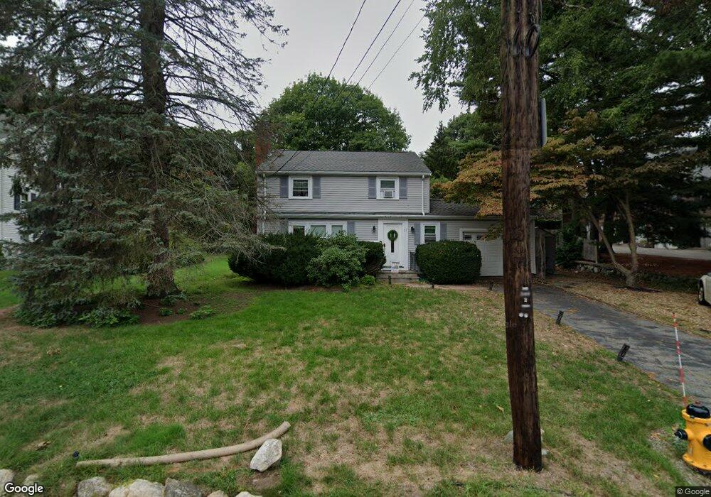
21 Manning Rd Waltham, MA 02452
North Waltham NeighborhoodEstimated Value: $764,000 - $912,000
3
Beds
2
Baths
1,531
Sq Ft
$558/Sq Ft
Est. Value
About This Home
This home is located at 21 Manning Rd, Waltham, MA 02452 and is currently estimated at $854,988, approximately $558 per square foot. 21 Manning Rd is a home located in Middlesex County with nearby schools including Northeast Elementary School, John F Kennedy Middle School, and Waltham Sr High School.
Ownership History
Date
Name
Owned For
Owner Type
Purchase Details
Closed on
Nov 12, 1998
Sold by
Morash Howard R and Morash Esther H
Bought by
Carazo Fernando
Current Estimated Value
Home Financials for this Owner
Home Financials are based on the most recent Mortgage that was taken out on this home.
Original Mortgage
$170,000
Interest Rate
6.65%
Mortgage Type
Purchase Money Mortgage
Create a Home Valuation Report for This Property
The Home Valuation Report is an in-depth analysis detailing your home's value as well as a comparison with similar homes in the area
Home Values in the Area
Average Home Value in this Area
Purchase History
| Date | Buyer | Sale Price | Title Company |
|---|---|---|---|
| Carazo Fernando | $233,000 | -- |
Source: Public Records
Mortgage History
| Date | Status | Borrower | Loan Amount |
|---|---|---|---|
| Open | Carazo Fernando | $237,000 | |
| Closed | Carazo Fernando | $170,000 |
Source: Public Records
Tax History
| Year | Tax Paid | Tax Assessment Tax Assessment Total Assessment is a certain percentage of the fair market value that is determined by local assessors to be the total taxable value of land and additions on the property. | Land | Improvement |
|---|---|---|---|---|
| 2025 | $7,597 | $773,600 | $499,900 | $273,700 |
| 2024 | $7,205 | $747,400 | $476,500 | $270,900 |
| 2023 | $7,095 | $687,500 | $433,200 | $254,300 |
| 2022 | $7,435 | $667,400 | $424,500 | $242,900 |
| 2021 | $7,210 | $636,900 | $407,200 | $229,700 |
| 2020 | $7,092 | $593,500 | $381,200 | $212,300 |
| 2019 | $6,872 | $542,800 | $364,900 | $177,900 |
| 2018 | $6,287 | $498,600 | $337,900 | $160,700 |
| 2017 | $5,881 | $468,200 | $307,500 | $160,700 |
| 2016 | $5,572 | $455,200 | $294,500 | $160,700 |
| 2015 | $5,427 | $413,300 | $264,200 | $149,100 |
Source: Public Records
Map
Nearby Homes
- 100 Shirley Rd
- 43 Agassiz Ave
- 50 Moraine St
- 51 Harrington St Unit 51
- 43-43A Chandler St
- 40 Knowles Rd
- 144-146 White St
- 918 Belmont St
- 52 Hawthorne St Unit 1
- 49 Pierce Rd Unit 49
- 314 Lexington St
- 9 Henry St Unit 9
- 3 Henry St
- 78 Barbara Rd Unit 1
- 38 Carey Ave Unit 3
- 38 Carey Ave Unit 6
- 133 Warren St Unit 3
- 76 Hovey St Unit 3
- 15 Wiley Rd Unit 15
- 194 Lexington St Unit 1
- 25 Manning Rd
- 15 Manning Rd Unit D
- 15 Manning Rd Unit 5
- 15 Manning Rd Unit 4
- 15 Manning Rd Unit 3
- 15 Manning Rd Unit 2
- 15 Manning Rd Unit 1
- 15 Manning Rd
- 15 Manning Rd Unit A
- 15 Manning Rd Unit C
- 15 Manning Rd Unit E
- 111 Shirley Rd
- 101 Shirley Rd
- 31 Manning Rd
- 26 Manning Rd
- 22 Manning Rd
- 100 Trapelo Rd Unit 1
- 100 Trapelo Rd
- 100 Trapelo Rd Unit 3
- 100 Trapelo Rd Unit 5
Your Personal Tour Guide
Ask me questions while you tour the home.