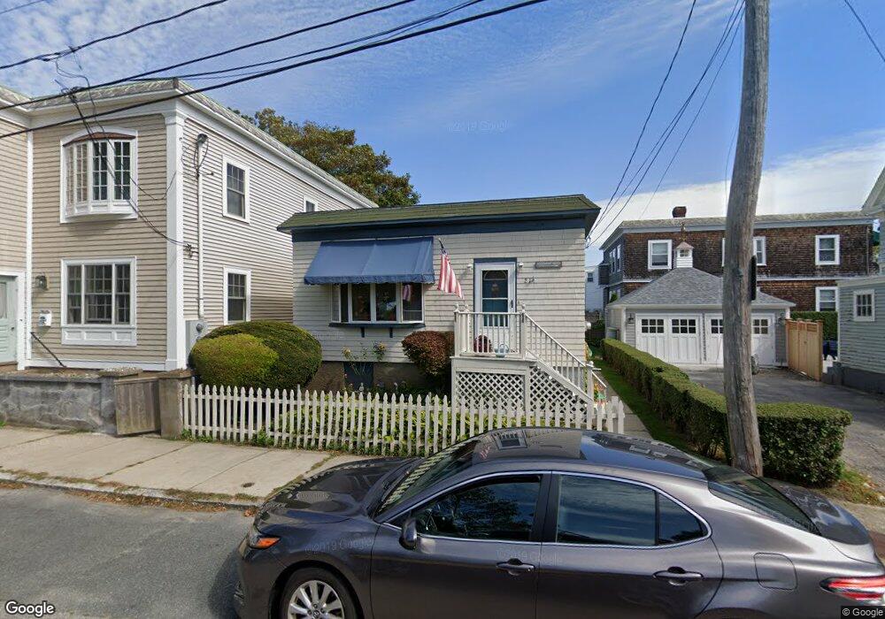
21 Marchant St Newport, RI 02840
Fifth Ward NeighborhoodEstimated Value: $734,000 - $852,000
2
Beds
1
Bath
1,008
Sq Ft
$769/Sq Ft
Est. Value
About This Home
This home is located at 21 Marchant St, Newport, RI 02840 and is currently estimated at $774,798, approximately $768 per square foot. 21 Marchant St is a home located in Newport County with nearby schools including Rogers High School, St Michael's Country Day School, and All Saints STEAM Academy.
Ownership History
Date
Name
Owned For
Owner Type
Purchase Details
Closed on
May 13, 2024
Sold by
Watkins Robert A and Watkins Deborah A
Bought by
Watkins Family Lt and Watkins
Current Estimated Value
Create a Home Valuation Report for This Property
The Home Valuation Report is an in-depth analysis detailing your home's value as well as a comparison with similar homes in the area
Home Values in the Area
Average Home Value in this Area
Purchase History
| Date | Buyer | Sale Price | Title Company |
|---|---|---|---|
| Watkins Family Lt | -- | None Available | |
| Watkins Family Lt | -- | None Available |
Source: Public Records
Tax History Compared to Growth
Tax History
| Year | Tax Paid | Tax Assessment Tax Assessment Total Assessment is a certain percentage of the fair market value that is determined by local assessors to be the total taxable value of land and additions on the property. | Land | Improvement |
|---|---|---|---|---|
| 2025 | $4,052 | $564,400 | $351,400 | $213,000 |
| 2024 | $3,934 | $564,400 | $351,400 | $213,000 |
| 2023 | $3,587 | $361,600 | $229,700 | $131,900 |
| 2022 | $3,475 | $361,600 | $229,700 | $131,900 |
| 2021 | $3,374 | $361,600 | $229,700 | $131,900 |
| 2020 | $3,699 | $359,800 | $218,000 | $141,800 |
| 2019 | $3,699 | $359,800 | $218,000 | $141,800 |
| 2018 | $3,594 | $359,800 | $218,000 | $141,800 |
| 2017 | $3,083 | $275,000 | $155,900 | $119,100 |
| 2016 | $3,006 | $275,000 | $155,900 | $119,100 |
| 2015 | $2,934 | $275,000 | $155,900 | $119,100 |
| 2014 | $3,079 | $255,300 | $132,500 | $122,800 |
Source: Public Records
Map
Nearby Homes
- 57 Clinton St Unit 57C
- 91 Houston Ave
- 39 Connection St
- 6 Sharon Ct
- 604 Thames & 4 Dixon St
- 45 Hammond St Unit 2
- 13 Vaughan Ave
- 99 Roseneath Ave
- 62 Dixon St
- 13 Dean Ave
- 17 Meikle Ave Unit 19
- 0 Meikle Ave
- 46 Chastellux Ave Unit M6
- 70 Carroll Ave Unit 905
- 70 Carroll Ave Unit 510
- 30 S Baptist St
- 35 Chastellux Ave Unit I
- 24 Brown and Howard Wharf Unit 301
- 28 Young St
- 364 Bellevue Ave Unit A1
- 40 W Narragansett Ave
- 38 W Narragansett Ave
- 39 Grafton St
- 45 Grafton St
- 0 W Narragansett Ave Unit 218797
- 0 W Narragansett Ave Unit 218794
- 0 W Narragansett Ave Unit 218795
- 0 W Narragansett Ave Unit 612924
- 0 W Narragansett Ave Unit 612994
- 0 W Narragansett Ave Unit D
- 0 W Narragansett Ave
- 0 W Narragansett Ave
- 36 W Narragansett Ave
- 37 W Narragansett Ave
- 28 W Narragansett Ave
- 40 Grafton St
- 35 Marchant St
- 33 W Narragansett Ave
- 8 Marchant St
- 36 Grafton St