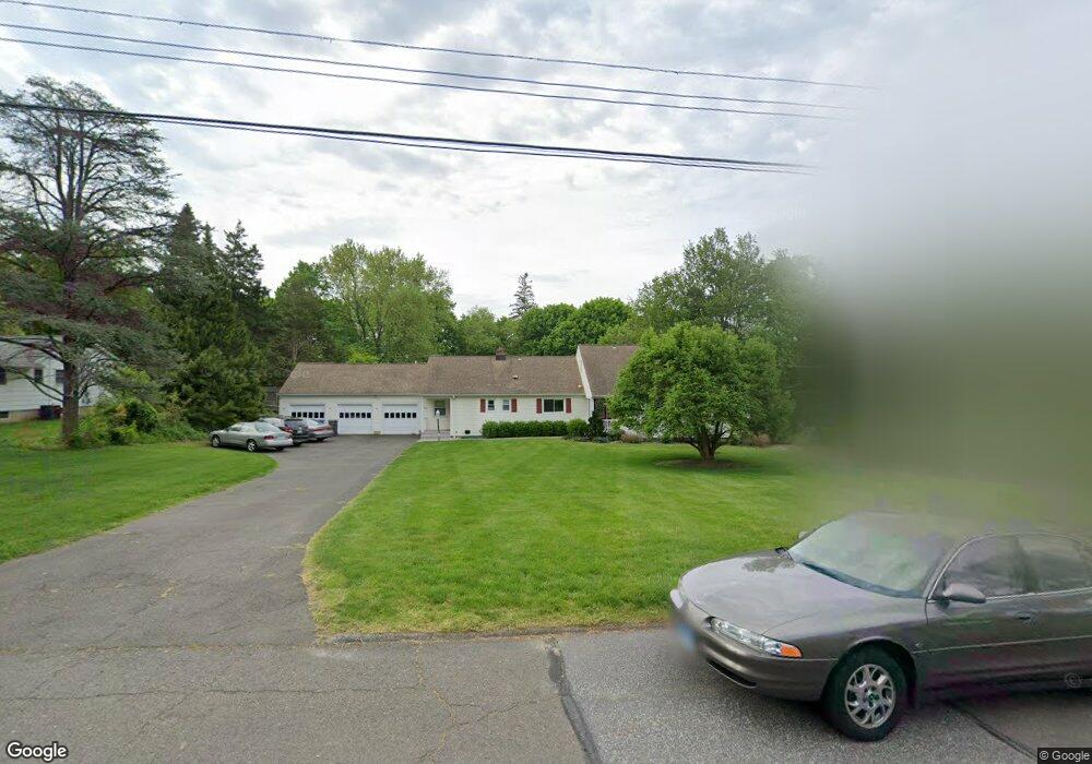
21 Marigold Ln Trumbull, CT 06611
Daniel Farm District NeighborhoodEstimated Value: $836,000 - $904,000
4
Beds
4
Baths
2,950
Sq Ft
$294/Sq Ft
Est. Value
About This Home
This home is located at 21 Marigold Ln, Trumbull, CT 06611 and is currently estimated at $866,488, approximately $293 per square foot. 21 Marigold Ln is a home located in Fairfield County with nearby schools including Daniels Farm School, Hillcrest Middle School, and Trumbull High School.
Ownership History
Date
Name
Owned For
Owner Type
Purchase Details
Closed on
Jun 11, 2004
Sold by
Sullivan Michael D and Sullivan Louroles
Bought by
Socci Anthony and Socci Linola
Current Estimated Value
Home Financials for this Owner
Home Financials are based on the most recent Mortgage that was taken out on this home.
Original Mortgage
$355,000
Outstanding Balance
$164,752
Interest Rate
5.25%
Estimated Equity
$701,736
Purchase Details
Closed on
Jun 10, 1999
Sold by
Becker Mark A
Bought by
Sullivan Michael D and Osberg Lourdes
Home Financials for this Owner
Home Financials are based on the most recent Mortgage that was taken out on this home.
Original Mortgage
$256,000
Interest Rate
6.9%
Purchase Details
Closed on
Mar 30, 1995
Sold by
Feroletto Helen Est
Bought by
Becker Mark
Create a Home Valuation Report for This Property
The Home Valuation Report is an in-depth analysis detailing your home's value as well as a comparison with similar homes in the area
Home Values in the Area
Average Home Value in this Area
Purchase History
| Date | Buyer | Sale Price | Title Company |
|---|---|---|---|
| Socci Anthony | $571,000 | -- | |
| Sullivan Michael D | $320,000 | -- | |
| Becker Mark | $290,000 | -- |
Source: Public Records
Mortgage History
| Date | Status | Borrower | Loan Amount |
|---|---|---|---|
| Open | Becker Mark | $50,000 | |
| Open | Becker Mark | $355,000 | |
| Previous Owner | Becker Mark | $229,000 | |
| Previous Owner | Becker Mark | $256,000 |
Source: Public Records
Tax History
| Year | Tax Paid | Tax Assessment Tax Assessment Total Assessment is a certain percentage of the fair market value that is determined by local assessors to be the total taxable value of land and additions on the property. | Land | Improvement |
|---|---|---|---|---|
| 2025 | $14,434 | $390,950 | $160,720 | $230,230 |
| 2024 | $14,039 | $390,950 | $160,720 | $230,230 |
| 2023 | $13,812 | $390,950 | $160,720 | $230,230 |
| 2022 | $13,591 | $390,950 | $160,720 | $230,230 |
| 2021 | $12,003 | $328,440 | $146,300 | $182,140 |
| 2020 | $11,775 | $328,440 | $146,300 | $182,140 |
| 2018 | $11,484 | $328,440 | $146,300 | $182,140 |
| 2017 | $11,252 | $328,440 | $146,300 | $182,140 |
| 2016 | $11,026 | $328,440 | $146,300 | $182,140 |
| 2015 | $11,180 | $329,200 | $146,300 | $182,900 |
| 2014 | $10,940 | $329,200 | $146,300 | $182,900 |
Source: Public Records
Map
Nearby Homes
- 15 Glenarden Rd
- 699 Daniels Farm Rd
- 184 Putting Green Rd
- Lot 31 Valley View Rd
- 43 Woodmere Dr
- 2 Doe Hollow Dr
- 71 Cider Mill Ln
- 176 Strobel Rd
- 93 Putting Green Rd N
- 58 Daniels Farm Rd
- 546 Church Hill Rd
- 7 Hemlock Trail
- 244 Strobel Rd
- 75 Middlebrooks Ave
- 0 Main St
- 877 White Plains Rd
- 30 Windy Ridge
- 0 Pinewood Trail
- 39 Zephyr Rd
- 215 Fernwood Rd
- 27 Marigold Ln
- 15 Marigold Ln
- 6 Glenarden Rd
- 11 Wordins Ln
- 517 Daniels Farm Rd
- 527 Daniels Farm Rd
- 7 Wordins Ln
- 35 Wordins Ln
- 3 Glenarden Rd
- 21 Wordins Ln
- 16 Marigold Ln
- 10 Glenarden Rd
- 8 Marigold Ln
- 7 Glenarden Rd
- 479 Daniels Farm Rd
- 16 Glenarden Rd
- 555 Daniels Farm Rd
- 480 Daniels Farm Rd
- 16 Red Maple Ln
- 11 Meadow Wood Rd
Your Personal Tour Guide
Ask me questions while you tour the home.