21 Mavosheen Way New Harbor, ME 04554
Estimated Value: $388,833 - $938,000
2
Beds
1
Bath
624
Sq Ft
$1,054/Sq Ft
Est. Value
About This Home
This home is located at 21 Mavosheen Way, New Harbor, ME 04554 and is currently estimated at $657,611, approximately $1,053 per square foot. 21 Mavosheen Way is a home with nearby schools including Bristol Consolidated School.
Ownership History
Date
Name
Owned For
Owner Type
Purchase Details
Closed on
Jul 10, 2020
Sold by
Gildersleeve Edward J and Gildersleeve Myrna E
Bought by
Gildersleeve Ft and Gildersleeve
Current Estimated Value
Home Financials for this Owner
Home Financials are based on the most recent Mortgage that was taken out on this home.
Original Mortgage
$200,000
Interest Rate
3.1%
Mortgage Type
New Conventional
Purchase Details
Closed on
Sep 27, 2006
Sold by
Gildersleeve 3Rd Edward J and Gildersleeve Myrna E
Bought by
Gildersleeve Donna M and Gildersleeve 4Th Edward J
Create a Home Valuation Report for This Property
The Home Valuation Report is an in-depth analysis detailing your home's value as well as a comparison with similar homes in the area
Home Values in the Area
Average Home Value in this Area
Purchase History
| Date | Buyer | Sale Price | Title Company |
|---|---|---|---|
| Gildersleeve Ft | -- | None Available | |
| Gildersleeve Ft | -- | None Available | |
| Gildersleeve Donna M | -- | -- | |
| Gildersleeve Donna M | -- | -- |
Source: Public Records
Mortgage History
| Date | Status | Borrower | Loan Amount |
|---|---|---|---|
| Closed | Gildersleeve Ft | $200,000 |
Source: Public Records
Tax History Compared to Growth
Tax History
| Year | Tax Paid | Tax Assessment Tax Assessment Total Assessment is a certain percentage of the fair market value that is determined by local assessors to be the total taxable value of land and additions on the property. | Land | Improvement |
|---|---|---|---|---|
| 2024 | $1,900 | $213,500 | $74,700 | $138,800 |
| 2023 | $1,697 | $213,500 | $74,700 | $138,800 |
| 2022 | $1,537 | $213,500 | $74,700 | $138,800 |
| 2021 | $1,537 | $213,500 | $74,700 | $138,800 |
| 2020 | $1,548 | $213,500 | $74,700 | $138,800 |
| 2019 | $1,441 | $213,500 | $74,700 | $138,800 |
| 2018 | $1,334 | $213,500 | $74,700 | $138,800 |
| 2017 | $1,334 | $213,500 | $74,700 | $138,800 |
| 2016 | $1,427 | $180,600 | $70,000 | $110,600 |
| 2015 | $1,526 | $180,600 | $70,000 | $110,600 |
| 2014 | $1,427 | $180,600 | $70,000 | $110,600 |
| 2013 | $1,391 | $180,600 | $70,000 | $110,600 |
Source: Public Records
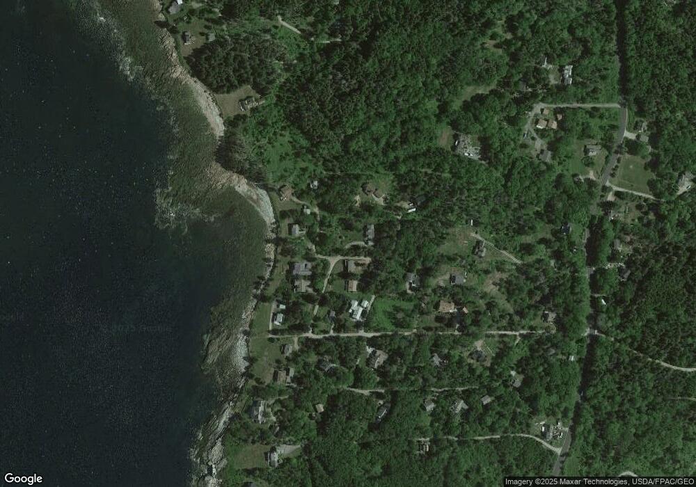
Map
Nearby Homes
- 20 Ocean Side Ln
- 89 Seawood Park Rd
- Lot 13 Nahanada Rd
- Lot 11 Nahanada Rd
- 2700 Bristol Rd
- Lot 5 Jack's Ln
- Lot 4 Jack's Ln
- 82 Pemaquid Trail
- 69 McFarland Shore Rd
- Lts 23A&24 Birch Island
- 2593 Bristol Rd
- 5 Penniman Rd
- 82 Southside Rd
- 145 Huddle Rd
- 56 Maine 32
- 147 Maine 32
- 146 State Route 32
- 40 Eastwood Ct
- 36 Eastwood Ct
- Map 004 Lot 089-03
- 18 Mavosheen Way
- 2 Mavosheen Way
- 2 Mavosheen Way
- 7 Arrowhead Ln
- 4 Indian Ledge Trail
- 3003 Bristol Rd
- 0 Mavosheen Dr Unit 901349
- 11 Legend Hill Rd
- 23 Massasoit Dr
- 9 Legend Hill Rd
- 23 Massasoit Dr
- 01,05A,08 Arrowhead Rd
- 18 Meadow Ln
- 18 Sunset Hill Rd
- 37 Massasoit Dr
- 0 Massasoit Rd
- 4 Rose Way
- 0 Rose Way Unit 1233427
- 00 Bristol Rd
- 3007 Bristol Rd