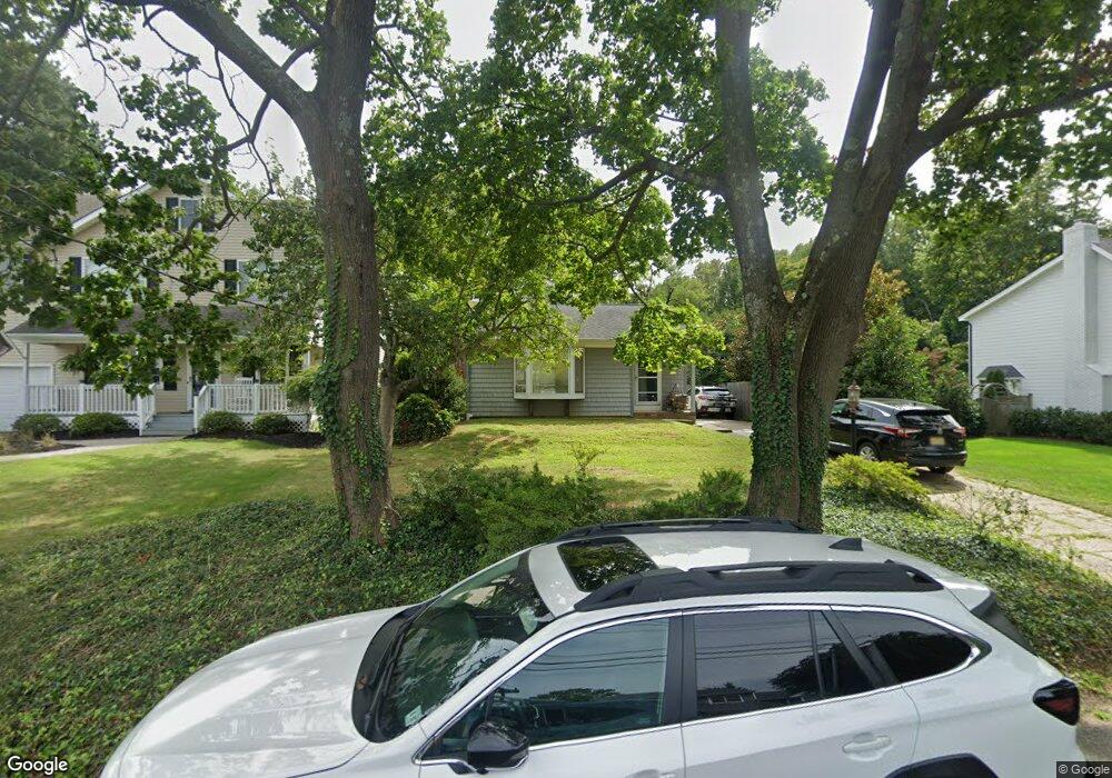
21 McCarter Ave Fair Haven, NJ 07704
Estimated Value: $1,119,000 - $1,535,000
4
Beds
3
Baths
2,894
Sq Ft
$460/Sq Ft
Est. Value
About This Home
This home is located at 21 McCarter Ave, Fair Haven, NJ 07704 and is currently estimated at $1,331,190, approximately $459 per square foot. 21 McCarter Ave is a home located in Monmouth County with nearby schools including Viola L Sickles School, Knollwood School, and Rumson Fair Haven Regional High School.
Ownership History
Date
Name
Owned For
Owner Type
Purchase Details
Closed on
Sep 22, 2011
Sold by
Ross Timothy I and Harms Debra B
Bought by
Ross Timothy I and Harms Debra B
Current Estimated Value
Purchase Details
Closed on
Jan 20, 1994
Sold by
Barron Ira
Bought by
Ross Timothy and Harms Debra
Home Financials for this Owner
Home Financials are based on the most recent Mortgage that was taken out on this home.
Original Mortgage
$138,000
Interest Rate
7.07%
Create a Home Valuation Report for This Property
The Home Valuation Report is an in-depth analysis detailing your home's value as well as a comparison with similar homes in the area
Home Values in the Area
Average Home Value in this Area
Purchase History
| Date | Buyer | Sale Price | Title Company |
|---|---|---|---|
| Ross Timothy I | -- | None Available | |
| Ross Timothy | $173,000 | -- |
Source: Public Records
Mortgage History
| Date | Status | Borrower | Loan Amount |
|---|---|---|---|
| Previous Owner | Ross Timothy | $138,000 |
Source: Public Records
Tax History
| Year | Tax Paid | Tax Assessment Tax Assessment Total Assessment is a certain percentage of the fair market value that is determined by local assessors to be the total taxable value of land and additions on the property. | Land | Improvement |
|---|---|---|---|---|
| 2025 | $11,726 | $893,200 | $623,800 | $269,400 |
| 2024 | $12,033 | $798,200 | $533,800 | $264,400 |
Source: Public Records
Map
Nearby Homes
- 224 Fair Haven Rd
- 158 Fair Haven Rd
- 281 Hance Rd
- 15 Buena Vista Ave
- 492 Hance Rd
- 4 Circle Dr
- 4 Club Way
- 1 Clifford Graves Ct
- 94 Park Ave
- 91 Forrest Ave
- 194 Heritage Ct
- 89 Grange Ave
- 349 River Rd
- 23 Haddon Park
- 45 Wardell Ave
- 59 Windward Way
- 22 Marion St
- 94 Ridge Rd
- 126 Tower Hill Dr Unit 205
- 6 3rd St
- 19 McCarter Ave
- 23 McCarter Ave
- 15 McCarter Ave
- 30 Brookside Farm Rd
- 20 Brookside Farm Rd
- 25 McCarter Ave
- 27 McCarter Ave
- 13 McCarter Ave
- 18 McCarter Ave
- 16 McCarter Ave
- 22 McCarter Ave
- 10 Brookside Farm Rd
- 29 McCarter Ave
- 9 McCarter Ave
- 12 McCarter Ave
- 40 Brookside Farm Rd
- 28 McCarter Ave
- 50 Brookside Farm Rd
- 8 McCarter Ave
- 16 Hendrickson Place
Your Personal Tour Guide
Ask me questions while you tour the home.