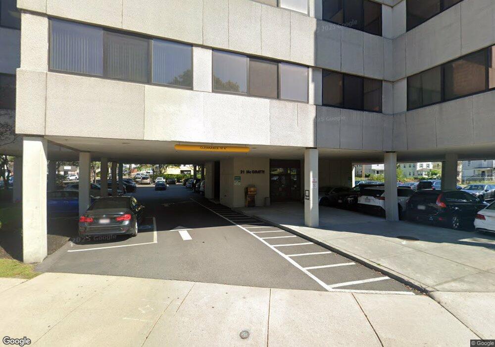
21 McRath Hwy Unit 204 Quincy, MA 02169
Quincy Center NeighborhoodEstimated Value: $578,146
--
Bed
--
Bath
1,975
Sq Ft
$293/Sq Ft
Est. Value
About This Home
This home is located at 21 McRath Hwy Unit 204, Quincy, MA 02169 and is currently estimated at $578,146, approximately $292 per square foot. 21 McRath Hwy Unit 204 is a home located in Norfolk County with nearby schools including Point Webster Middle School, Clifford H. Marshall Elementary School, and Quincy High School.
Ownership History
Date
Name
Owned For
Owner Type
Purchase Details
Closed on
Oct 13, 2016
Sold by
4 Sons Llc
Bought by
Sundowner Rt
Current Estimated Value
Purchase Details
Closed on
Nov 17, 2006
Sold by
Dennis & Co Pc
Bought by
4 Sons Llc
Purchase Details
Closed on
Sep 1, 1998
Sold by
Roncarati Tr Alfred
Bought by
Dennis & Co Pc
Home Financials for this Owner
Home Financials are based on the most recent Mortgage that was taken out on this home.
Original Mortgage
$126,000
Interest Rate
6.9%
Mortgage Type
Commercial
Create a Home Valuation Report for This Property
The Home Valuation Report is an in-depth analysis detailing your home's value as well as a comparison with similar homes in the area
Home Values in the Area
Average Home Value in this Area
Purchase History
| Date | Buyer | Sale Price | Title Company |
|---|---|---|---|
| Sundowner Rt | $340,000 | -- | |
| 4 Sons Llc | $370,000 | -- | |
| Dennis & Co Pc | $180,000 | -- |
Source: Public Records
Mortgage History
| Date | Status | Borrower | Loan Amount |
|---|---|---|---|
| Previous Owner | Dennis & Co Pc | $126,000 |
Source: Public Records
Tax History Compared to Growth
Tax History
| Year | Tax Paid | Tax Assessment Tax Assessment Total Assessment is a certain percentage of the fair market value that is determined by local assessors to be the total taxable value of land and additions on the property. | Land | Improvement |
|---|---|---|---|---|
| 2025 | $10,200 | $443,300 | $0 | $443,300 |
| 2024 | $9,155 | $407,800 | $0 | $407,800 |
| 2023 | $8,652 | $390,100 | $0 | $390,100 |
| 2022 | $8,747 | $366,600 | $0 | $366,600 |
| 2021 | $8,581 | $354,300 | $0 | $354,300 |
| 2020 | $8,587 | $345,700 | $0 | $345,700 |
| 2019 | $8,536 | $339,000 | $0 | $339,000 |
| 2018 | $9,077 | $335,700 | $0 | $335,700 |
| 2017 | $9,336 | $325,200 | $0 | $325,200 |
| 2016 | $9,569 | $325,800 | $0 | $325,800 |
| 2015 | $9,713 | $321,000 | $0 | $321,000 |
| 2014 | $10,025 | $321,000 | $0 | $321,000 |
Source: Public Records
Map
Nearby Homes
- 106 Washington St Unit 45
- 59 Spear St Unit 302
- 59 Spear St Unit 301
- 59 Spear St Unit 202
- 66 Mcgrath Hwy Unit 407
- 66 Mcgrath Hwy Unit 405
- 66 Mcgrath Hwy Unit 308
- 66 Mcgrath Hwy Unit 303
- 66 Mcgrath Hwy Unit 508
- 187 Washington St
- 2 Cliveden St Unit 601E
- 2 Cliveden St Unit 405E
- 18 Cliveden St Unit 406W
- 18 Cliveden St Unit 201W
- 33 Elm St
- 20 Whitney Rd Unit 4
- 20 Whitney Rd Unit 2
- 20 Whitney Rd Unit 1
- 313 Washington St
- 16 Dartmouth St Unit 16
- 21 Mayor Thomas McGrath Hwy Unit 402
- 21 Mayor Thomas McGrath Hwy Unit 506
- 21 Mayor Thomas McGrath Hwy Unit 406
- 21 Mayor Thomas McGrath Hwy
- 21 Mcgrath Hwy Unit 406
- 21 Mcgrath Hwy Unit 401
- 21 Mcgrath Hwy Unit 504
- 21 Mayor Thomas j Mcgrath Hwy Unit 204
- 21 Mayor Thomas j Mcgrath Hwy Unit 301
- 21 Mayor Thomas j Mcgrath Hwy Unit 203
- 21 Mayor Thomas j Mcgrath Hwy Unit 203
- 21 Mayor Thomas j Mcgrath Hwy Unit 306
- 111 Washington St
- 25 Bigelow St
- 25 Bigelow St Unit 1
- 12 Bigelow St Unit 2
- 12 Bigelow St
- 33 Bigelow St
- 33 Bigelow St Unit 2
- 33 Bigelow St Unit 1