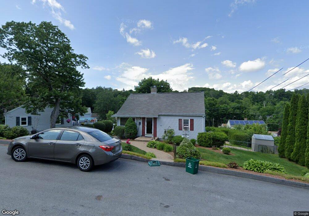
21 Meadow Ln Worcester, MA 01602
West Tatnuck NeighborhoodEstimated Value: $359,000 - $455,000
4
Beds
2
Baths
1,112
Sq Ft
$356/Sq Ft
Est. Value
About This Home
This home is located at 21 Meadow Ln, Worcester, MA 01602 and is currently estimated at $396,014, approximately $356 per square foot. 21 Meadow Ln is a home located in Worcester County with nearby schools including West Tatnuck School, Chandler Magnet, and Jacob Hiatt Magnet School.
Ownership History
Date
Name
Owned For
Owner Type
Purchase Details
Closed on
Jun 7, 2023
Sold by
Brennan Dorothy A
Bought by
Twenty-One Meadow Lane Rt and Phaup
Current Estimated Value
Purchase Details
Closed on
Jun 18, 1990
Sold by
Burkhart Edward A
Bought by
Brennan Paul M
Home Financials for this Owner
Home Financials are based on the most recent Mortgage that was taken out on this home.
Original Mortgage
$65,000
Interest Rate
10.54%
Mortgage Type
Purchase Money Mortgage
Purchase Details
Closed on
May 27, 1987
Sold by
Shallow Kurt J
Bought by
Burkhart Edward A
Create a Home Valuation Report for This Property
The Home Valuation Report is an in-depth analysis detailing your home's value as well as a comparison with similar homes in the area
Home Values in the Area
Average Home Value in this Area
Purchase History
We collect this data history from publicly available records. To have your information removed, we recommend requesting removal directly through your county’s website.
| Date | Buyer | Sale Price | Title Company |
|---|---|---|---|
| Twenty-One Meadow Lane Rt | -- | None Available | |
| Twenty-One Meadow Lane Rt | -- | None Available | |
| Brennan Paul M | $126,200 | -- | |
| Brennan Paul M | $126,200 | -- | |
| Burkhart Edward A | $124,500 | -- |
Source: Public Records
Mortgage History
We collect this data history from publicly available records. To have your information removed, we recommend requesting removal directly through your county’s website.
| Date | Status | Borrower | Loan Amount |
|---|---|---|---|
| Previous Owner | Burkhart Edward A | $64,000 | |
| Previous Owner | Burkhart Edward A | $20,000 | |
| Previous Owner | Burkhart Edward A | $65,000 |
Source: Public Records
Tax History
| Year | Tax Paid | Tax Assessment Tax Assessment Total Assessment is a certain percentage of the fair market value that is determined by local assessors to be the total taxable value of land and additions on the property. | Land | Improvement |
|---|---|---|---|---|
| 2025 | $4,363 | $330,800 | $118,500 | $212,300 |
| 2024 | $4,312 | $313,600 | $118,500 | $195,100 |
| 2023 | $4,130 | $288,000 | $103,100 | $184,900 |
| 2022 | $3,790 | $249,200 | $82,500 | $166,700 |
| 2021 | $3,709 | $227,800 | $66,000 | $161,800 |
| 2020 | $3,645 | $214,400 | $66,000 | $148,400 |
| 2019 | $3,490 | $193,900 | $59,400 | $134,500 |
| 2018 | $3,523 | $186,300 | $59,400 | $126,900 |
| 2017 | $3,156 | $164,200 | $59,400 | $104,800 |
| 2016 | $3,056 | $148,300 | $43,500 | $104,800 |
| 2015 | $2,976 | $148,300 | $43,500 | $104,800 |
| 2014 | $2,898 | $148,300 | $43,500 | $104,800 |
Source: Public Records
Map
Nearby Homes
- 407 Mower St
- 8 Sussex Ln
- 1231 Pleasant St
- 11 Wildrose Ave
- 11 Scenic Dr
- 21 Rich St
- 618 Mill St
- 148A Tory Fort Ln
- 6 White Birch Dr
- 14 Pinewood Ln
- 47R Yarnie Unit 4A
- 60 Wrentham Rd
- 127 Glendale St
- 51 Brantwood Rd
- 42 Wrentham Rd
- 1 Ashmore Rd
- 87 Moreland St
- 11 Walbridge Rd
- 386 June St
- 21 Salisbury Hill Blvd
Your Personal Tour Guide
Ask me questions while you tour the home.