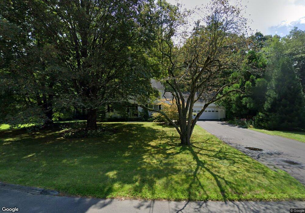
21 Meadowlark Rd West Simsbury, CT 06092
Estimated Value: $463,014 - $627,000
4
Beds
2
Baths
1,700
Sq Ft
$306/Sq Ft
Est. Value
About This Home
This home is located at 21 Meadowlark Rd, West Simsbury, CT 06092 and is currently estimated at $519,504, approximately $305 per square foot. 21 Meadowlark Rd is a home located in Hartford County with nearby schools including Tootin' Hills School, Henry James Memorial School, and Simsbury High School.
Ownership History
Date
Name
Owned For
Owner Type
Purchase Details
Closed on
Mar 30, 1999
Sold by
Zampano Barbara T
Bought by
Cummings Paul and Tolan Karen
Current Estimated Value
Home Financials for this Owner
Home Financials are based on the most recent Mortgage that was taken out on this home.
Original Mortgage
$164,000
Interest Rate
6.78%
Purchase Details
Closed on
Oct 1, 1987
Sold by
Dumont Dev Co Inc
Bought by
Dellabianca Kevin P
Create a Home Valuation Report for This Property
The Home Valuation Report is an in-depth analysis detailing your home's value as well as a comparison with similar homes in the area
Home Values in the Area
Average Home Value in this Area
Purchase History
| Date | Buyer | Sale Price | Title Company |
|---|---|---|---|
| Cummings Paul | $205,000 | -- | |
| Dellabianca Kevin P | $70,000 | -- |
Source: Public Records
Mortgage History
| Date | Status | Borrower | Loan Amount |
|---|---|---|---|
| Open | Dellabianca Kevin P | $100,000 | |
| Closed | Dellabianca Kevin P | $163,500 | |
| Closed | Dellabianca Kevin P | $164,000 | |
| Previous Owner | Dellabianca Kevin P | $50,000 |
Source: Public Records
Tax History Compared to Growth
Tax History
| Year | Tax Paid | Tax Assessment Tax Assessment Total Assessment is a certain percentage of the fair market value that is determined by local assessors to be the total taxable value of land and additions on the property. | Land | Improvement |
|---|---|---|---|---|
| 2025 | $7,793 | $228,130 | $80,990 | $147,140 |
| 2024 | $7,599 | $228,130 | $80,990 | $147,140 |
| 2023 | $7,259 | $228,130 | $80,990 | $147,140 |
| 2022 | $7,031 | $182,020 | $87,970 | $94,050 |
| 2021 | $7,031 | $182,020 | $87,970 | $94,050 |
| 2020 | $6,751 | $182,020 | $87,970 | $94,050 |
| 2019 | $6,793 | $182,020 | $87,970 | $94,050 |
| 2018 | $6,842 | $182,020 | $87,970 | $94,050 |
| 2017 | $6,377 | $164,530 | $85,730 | $78,800 |
| 2016 | $6,107 | $164,530 | $85,730 | $78,800 |
| 2015 | $6,107 | $164,530 | $85,730 | $78,800 |
| 2014 | $6,111 | $164,530 | $85,730 | $78,800 |
Source: Public Records
Map
Nearby Homes
- 18 Meadowlark Rd
- 5 Fox Den Rd
- 10 Sachems Trail
- 16 Stratton Forest Way
- 8 Quorn Hunt Rd
- 302 Bushy Hill Rd
- 301 Bushy Hill Rd
- 40 Firetown Rd Unit 39
- 3 Stebbins Brook Ln
- 4 Stebbins Brook Ln
- 143 N Mountain Rd
- 141 Firetown Rd
- 1 West St Unit 206
- 21 Christmas Tree Hill
- 48 Library Ln Unit 48
- 15 Sand Hill Rd
- 23 Red Fox Run
- 269 W Mountain Rd
- 25 Barry Ln
- 395 Bushy Hill Rd
- 4 Stratton Ln
- 5 Meadowlark Rd
- 15 Meadowlark Rd
- 26 Meadowlark Rd
- 1 Stratton Ln
- 1 Meadowlark Rd
- 30 Meadowlark Rd
- 6 Stratton Ln
- 35 Farmstead Ln
- 195 Farms Village Rd
- 36 Farmstead Ln
- 6 Meadowlark Rd
- 10 Meadowlark Rd
- 14 Meadowlark Rd
- 33 Meadowlark Rd
- 29 Farmstead Ln
- 34 Meadowlark Rd
- 7 Stratton Ln
- 246 Stratton Brook Rd
- 30 Farmstead Ln