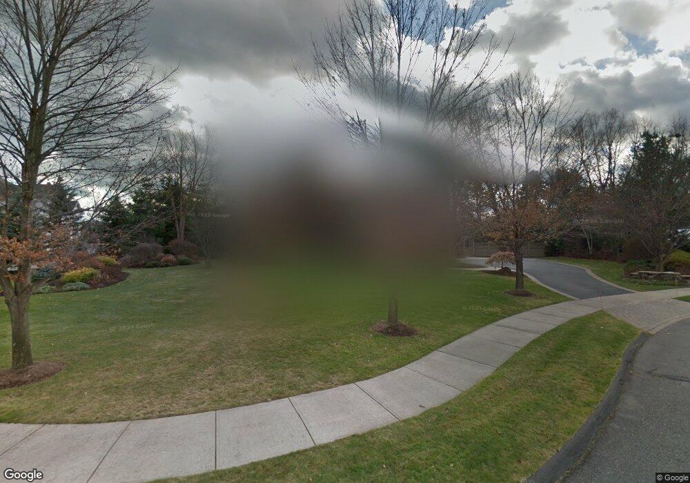
21 Memery Ln Longmeadow, MA 01106
Estimated Value: $1,122,000 - $1,568,000
3
Beds
4
Baths
5,622
Sq Ft
$240/Sq Ft
Est. Value
About This Home
This home is located at 21 Memery Ln, Longmeadow, MA 01106 and is currently estimated at $1,351,654, approximately $240 per square foot. 21 Memery Ln is a home located in Hampden County with nearby schools including Blueberry Hill, Glenbrook Middle School, and Longmeadow High School.
Ownership History
Date
Name
Owned For
Owner Type
Purchase Details
Closed on
Jul 13, 2020
Sold by
Foster Jodie B
Bought by
Sadowsky Drew P and Sadowsky Ashley R
Current Estimated Value
Home Financials for this Owner
Home Financials are based on the most recent Mortgage that was taken out on this home.
Original Mortgage
$965,000
Outstanding Balance
$855,698
Interest Rate
3.1%
Mortgage Type
Purchase Money Mortgage
Estimated Equity
$495,956
Purchase Details
Closed on
Jan 7, 1999
Sold by
Mccullough Richard A and Sears Paul J
Bought by
Foster Bradley S and Foster Jodie B
Create a Home Valuation Report for This Property
The Home Valuation Report is an in-depth analysis detailing your home's value as well as a comparison with similar homes in the area
Home Values in the Area
Average Home Value in this Area
Purchase History
| Date | Buyer | Sale Price | Title Company |
|---|---|---|---|
| Sadowsky Drew P | $1,206,250 | None Available | |
| Foster Bradley S | $210,000 | -- |
Source: Public Records
Mortgage History
| Date | Status | Borrower | Loan Amount |
|---|---|---|---|
| Open | Sadowsky Drew P | $965,000 | |
| Previous Owner | Foster Bradley S | $405,000 |
Source: Public Records
Tax History
| Year | Tax Paid | Tax Assessment Tax Assessment Total Assessment is a certain percentage of the fair market value that is determined by local assessors to be the total taxable value of land and additions on the property. | Land | Improvement |
|---|---|---|---|---|
| 2025 | $30,865 | $1,461,400 | $277,500 | $1,183,900 |
| 2024 | $30,271 | $1,463,800 | $277,500 | $1,186,300 |
| 2023 | $29,287 | $1,277,800 | $201,000 | $1,076,800 |
| 2022 | $27,212 | $1,104,400 | $201,000 | $903,400 |
| 2021 | $26,808 | $1,083,600 | $214,800 | $868,800 |
| 2020 | $26,425 | $1,091,500 | $230,400 | $861,100 |
| 2019 | $24,815 | $1,030,100 | $230,400 | $799,700 |
| 2018 | $29,195 | $1,198,800 | $317,100 | $881,700 |
| 2017 | $28,744 | $1,219,000 | $317,100 | $901,900 |
| 2016 | $27,775 | $1,141,600 | $296,100 | $845,500 |
| 2015 | $27,343 | $1,157,600 | $293,100 | $864,500 |
Source: Public Records
Map
Nearby Homes
- 20 Kimberly Cir
- 53 Ashford Rd
- 111 Ashford Rd
- 112 Grassy Gutter Rd
- 330 Merriweather Dr
- 59 Lawrence Dr
- 441 Inverness Ln
- 60 Exeter Ave
- 64 Magnolia Cir
- 211 Academy Dr
- 184 Cambridge Cir
- 58 Shady Side Dr
- 124 Tecumseh Dr
- 1155 Dickinson St
- 40 Halifax Ct Unit D
- 63 Meadowlark Dr
- 642 Laurel St
- 53 Meadowlark Dr
- 20 Jamestown Dr Unit B
- 170 Hopkins Place
- 118 Pendleton Ln
- 108 Pendleton Ln
- 35 Memery Ln
- 269 Captain Rd
- 257 Captain Rd
- 281 Captain Rd
- 14 Memery Ln
- 245 Captain Rd
- 49 Memery Ln
- 28 Memery Ln
- 289 Captain Rd
- 90 Pendleton Ln
- 111 Pendleton Ln
- 114 Caravelle Dr
- 303 Captain Rd
- 89 Pendleton Ln
- 125 Pendleton Ln
- 167 Pendleton Ln
- 215 Pendleton Ln
- 256 Captain Rd
Your Personal Tour Guide
Ask me questions while you tour the home.