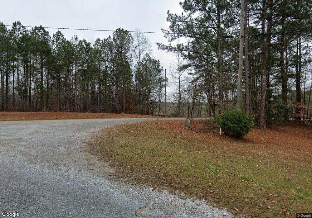
21 Memory Ln Unit 5&6 Wedowee, AL 36278
Estimated Value: $259,000 - $697,000
3
Beds
4
Baths
2,600
Sq Ft
$153/Sq Ft
Est. Value
About This Home
This home is located at 21 Memory Ln Unit 5&6, Wedowee, AL 36278 and is currently estimated at $396,514, approximately $152 per square foot. 21 Memory Ln Unit 5&6 is a home located in Randolph County.
Ownership History
Date
Name
Owned For
Owner Type
Purchase Details
Closed on
Jun 14, 2023
Sold by
Emrick Russell T and Emrick Audra Leann
Bought by
R & L Riverfront Properties Llc
Current Estimated Value
Purchase Details
Closed on
Mar 22, 2017
Sold by
Pasley Ronnel L
Bought by
Emrick Audra Leann and Russell Emrick
Create a Home Valuation Report for This Property
The Home Valuation Report is an in-depth analysis detailing your home's value as well as a comparison with similar homes in the area
Home Values in the Area
Average Home Value in this Area
Purchase History
| Date | Buyer | Sale Price | Title Company |
|---|---|---|---|
| R & L Riverfront Properties Llc | $240,000 | None Listed On Document | |
| Emrick Audra Leann | $270,000 | -- |
Source: Public Records
Tax History Compared to Growth
Tax History
| Year | Tax Paid | Tax Assessment Tax Assessment Total Assessment is a certain percentage of the fair market value that is determined by local assessors to be the total taxable value of land and additions on the property. | Land | Improvement |
|---|---|---|---|---|
| 2024 | $1,110 | $34,680 | $2,000 | $32,680 |
| 2023 | $1,110 | $17,620 | $1,000 | $16,620 |
| 2022 | $511 | $17,620 | $1,000 | $16,620 |
| 2021 | $511 | $17,620 | $1,000 | $16,620 |
| 2020 | $564 | $17,620 | $1,000 | $16,620 |
| 2018 | $507 | $15,840 | $1,000 | $14,840 |
| 2017 | $1,014 | $31,680 | $2,000 | $29,680 |
| 2016 | $908 | $28,380 | $2,000 | $26,380 |
| 2015 | $955 | $149,193 | $0 | $0 |
| 2014 | -- | $149,193 | $0 | $0 |
| 2013 | $955 | $149,193 | $0 | $0 |
Source: Public Records
Map
Nearby Homes
- 171 Martin Ln
- 219 Pleasure Point Rd Unit B4
- 219 Pleasure Point Rd
- 80 Cobblestone Dr
- 321 Pleasure Point Rd
- 111 Warren Dr
- 0 Bluffs Cir Unit 25 21416175
- 0 Bluffs Cir Unit 28 & 29 21416174
- 21143 Highway 431 Unit 35
- 2491 County Road 256
- 2427 County Road 256
- 0 Dancing Waters Way
- Lot 2 Dancing Waters Way
- lot 3 Dancing Waters Way
- 396 Pam St
- 358 Muffet Dr
- 293 Misty Ln
- LOT 6 Pineywoods Dr
- LOT 6 Pineywoods Dr Unit 6
- 4.27 acres Antler Trail
- 21 Memory Ln
- LOT # 4 Memory Ln Unit 4
- 115 Memory Ln
- 11 Smiley St
- 9 Smiley St Unit 9
- 9 Smiley Cir
- Lot 11 Smiley Ln Unit Lot 11 Aaron S/D
- 0 Aaron Dr Unit 3 785068
- 35 Aaron Dr
- 0 Memory Ln Unit LOT 18 614619
- Lot 18 Memory Ln Unit LOT 18
- 0 Memory Ln Unit LOT 18 614620
- 0 Memory Ln Unit 4 757631
- 164 Aaron Dr
- 184 Aaron Dr
- 175 Aaron Dr
- 218 Aaron Dr
- 710 Pineywoods Dr
- 710 Pineywoods Dr
- 131 Lake Ridge Dr
