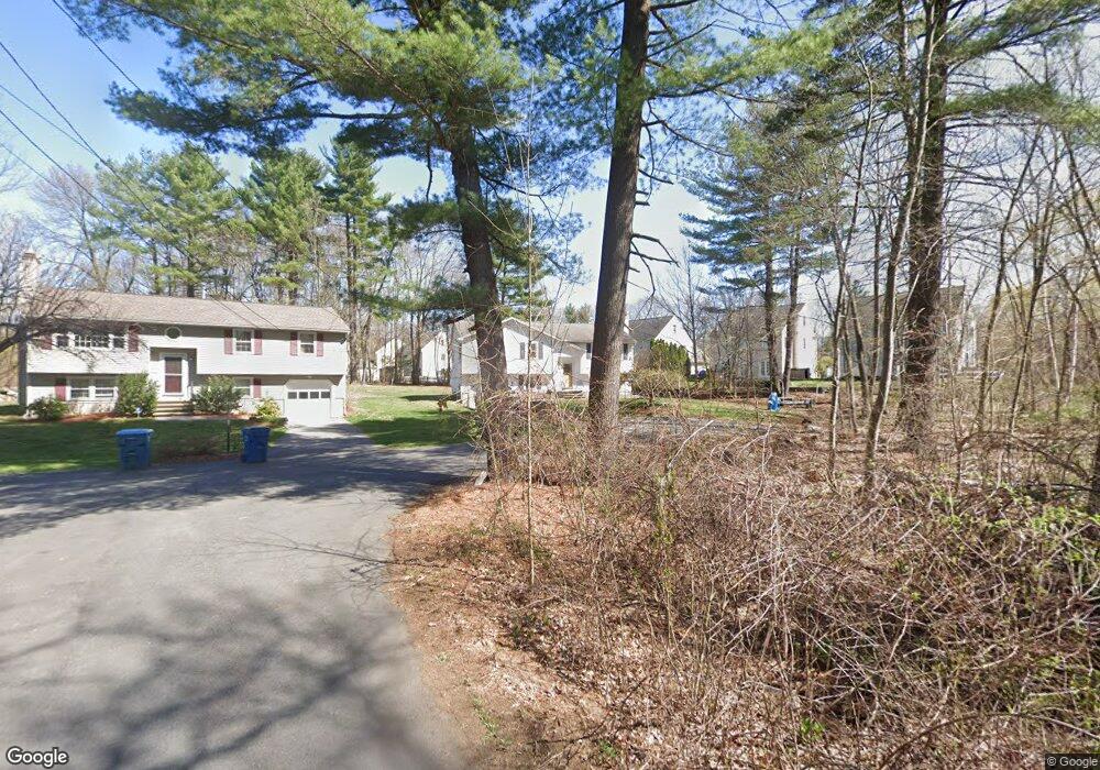
21 Michael Rd Tewksbury, MA 01876
Estimated Value: $597,000 - $686,000
3
Beds
1
Bath
1,144
Sq Ft
$564/Sq Ft
Est. Value
About This Home
This home is located at 21 Michael Rd, Tewksbury, MA 01876 and is currently estimated at $645,224, approximately $564 per square foot. 21 Michael Rd is a home located in Middlesex County.
Ownership History
Date
Name
Owned For
Owner Type
Purchase Details
Closed on
Oct 18, 2000
Sold by
Sacramone-Greene Donna and Greene Timothy M
Bought by
Jollimore Brian E and Jollimore Tammy M
Current Estimated Value
Home Financials for this Owner
Home Financials are based on the most recent Mortgage that was taken out on this home.
Original Mortgage
$204,000
Interest Rate
7.88%
Mortgage Type
Purchase Money Mortgage
Create a Home Valuation Report for This Property
The Home Valuation Report is an in-depth analysis detailing your home's value as well as a comparison with similar homes in the area
Home Values in the Area
Average Home Value in this Area
Purchase History
| Date | Buyer | Sale Price | Title Company |
|---|---|---|---|
| Jollimore Brian E | $255,000 | -- |
Source: Public Records
Mortgage History
| Date | Status | Borrower | Loan Amount |
|---|---|---|---|
| Open | Jollimore Brian E | $252,000 | |
| Closed | Jollimore Brian E | $217,000 | |
| Closed | Jollimore Brian E | $212,400 | |
| Closed | Jollimore Brian E | $204,000 |
Source: Public Records
Tax History Compared to Growth
Tax History
| Year | Tax Paid | Tax Assessment Tax Assessment Total Assessment is a certain percentage of the fair market value that is determined by local assessors to be the total taxable value of land and additions on the property. | Land | Improvement |
|---|---|---|---|---|
| 2025 | $7,283 | $550,900 | $286,700 | $264,200 |
| 2024 | $7,008 | $523,400 | $273,000 | $250,400 |
| 2023 | $6,803 | $482,500 | $248,300 | $234,200 |
| 2022 | $6,574 | $432,500 | $215,900 | $216,600 |
| 2021 | $72 | $398,100 | $196,200 | $201,900 |
| 2020 | $6,142 | $384,600 | $186,800 | $197,800 |
| 2019 | $5,523 | $348,700 | $178,000 | $170,700 |
| 2018 | $73 | $326,700 | $178,000 | $148,700 |
| 2017 | $161 | $309,500 | $178,000 | $131,500 |
| 2016 | $4,970 | $304,000 | $178,000 | $126,000 |
| 2015 | $4,770 | $291,400 | $172,600 | $118,800 |
| 2014 | $4,520 | $280,600 | $172,600 | $108,000 |
Source: Public Records
Map
Nearby Homes
- 11 Orchard St
- 43 Patrick Rd
- 61 Patrick Rd
- 1325 Main
- 12 Hillcrest Rd
- 1418 Main St Unit 201
- 1455 Main St Unit 8
- 20 Sophie Ruth Way
- 172 Patrick Rd
- 13 Berkeley
- 1 Tremblay Ave
- 14 Hinckley Rd
- 15 Pinewood Rd
- 9 Tomahawk Dr
- 910 Livingston St
- 900 Livingston St
- 18 Newton Ave
- 107 Eagle Dr Unit 107
- 93 Fairway Dr
- 127 Caddy Ct