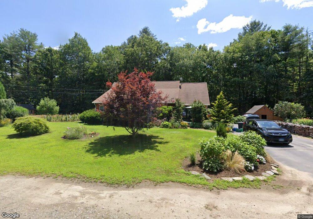
21 Micmac Trail Voluntown, CT 06384
Estimated Value: $423,879 - $541,000
3
Beds
1
Bath
1,484
Sq Ft
$311/Sq Ft
Est. Value
About This Home
This home is located at 21 Micmac Trail, Voluntown, CT 06384 and is currently estimated at $461,970, approximately $311 per square foot. 21 Micmac Trail is a home located in New London County with nearby schools including Voluntown Elementary School.
Ownership History
Date
Name
Owned For
Owner Type
Purchase Details
Closed on
Sep 19, 2007
Sold by
Desrosiers David A and Desrosiers Linda J
Bought by
Andre Beth A and Gilbert David W
Current Estimated Value
Purchase Details
Closed on
Jan 12, 1998
Sold by
Bankers Trust Co
Bought by
Desrosiers David A and Desrosiers Linda J
Home Financials for this Owner
Home Financials are based on the most recent Mortgage that was taken out on this home.
Original Mortgage
$70,589
Interest Rate
7.09%
Mortgage Type
Unknown
Create a Home Valuation Report for This Property
The Home Valuation Report is an in-depth analysis detailing your home's value as well as a comparison with similar homes in the area
Home Values in the Area
Average Home Value in this Area
Purchase History
| Date | Buyer | Sale Price | Title Company |
|---|---|---|---|
| Andre Beth A | $265,000 | -- | |
| Desrosiers David A | $72,500 | -- |
Source: Public Records
Mortgage History
| Date | Status | Borrower | Loan Amount |
|---|---|---|---|
| Previous Owner | Desrosiers David A | $83,000 | |
| Previous Owner | Desrosiers David A | $108,900 | |
| Previous Owner | Desrosiers David A | $98,500 | |
| Previous Owner | Desrosiers David A | $70,589 |
Source: Public Records
Tax History
| Year | Tax Paid | Tax Assessment Tax Assessment Total Assessment is a certain percentage of the fair market value that is determined by local assessors to be the total taxable value of land and additions on the property. | Land | Improvement |
|---|---|---|---|---|
| 2025 | $4,836 | $233,380 | $37,380 | $196,000 |
| 2024 | $3,916 | $133,930 | $37,340 | $96,590 |
| 2023 | $3,719 | $133,930 | $37,340 | $96,590 |
| 2022 | $3,719 | $133,930 | $37,340 | $96,590 |
| 2021 | $3,761 | $133,930 | $37,340 | $96,590 |
| 2020 | $3,753 | $128,500 | $43,070 | $85,430 |
| 2019 | $3,753 | $128,500 | $43,070 | $85,430 |
| 2018 | $3,716 | $128,500 | $43,070 | $85,430 |
| 2017 | $3,606 | $128,500 | $43,070 | $85,430 |
| 2016 | $3,606 | $128,500 | $43,070 | $85,430 |
| 2015 | $2,777 | $128,500 | $43,070 | $85,430 |
| 2014 | $3,116 | $128,500 | $43,070 | $85,430 |
Source: Public Records
Map
Nearby Homes
- 7 Nipmuck Trail
- 225 Hazard Rd
- 296 Newport Rd
- 47 N Shore Rd
- 31 Stonebridge Ln
- 01 Stubble Brook Rd
- 30 Beach View Rd
- 81 Deerfield Dr
- 71 Deerfield Dr
- 176 Hopkins Hollow Rd
- 129 Rockville Rd
- 0 Church St
- 131 Church St
- 233 Victory Hwy
- 4 Tarklin Hill Rd
- 417 Victory Hwy
- 13 Grove St
- 61 Main St
- 22 Grove St
- 1 Johns Cir
- 24 Pawcatuck Trail
- 22 Micmac Trail
- 25 Pawcatuck Trail
- 28 Mohunganuck Trail
- 14 Pawcatuck Trail
- 3 Micmac Trail
- 24 Mohunganuck Trail
- 17 Pawcatuck Trail
- 18 Mohunganuck Trail
- 170 Bailey Pond Rd
- 27 Mohunganuck Trail
- 11 Pawcatuck Trail
- 12 Mohunganuck Trail
- 166 Bailey Pond Rd
- 19 Mohunganuck Trail
- 164 Bailey Pond Rd
- 9 Mohunganuck Trail
- 17 Mohunganuck Trail
- 10 Mohunganuck Trail
- 186 Bailey Pond Rd
Your Personal Tour Guide
Ask me questions while you tour the home.