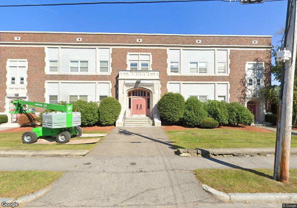
21 Middlesex Ave Unit 202 Worcester, MA 01604
Grafton Hill NeighborhoodEstimated Value: $215,000 - $253,009
2
Beds
1
Bath
789
Sq Ft
$301/Sq Ft
Est. Value
About This Home
This home is located at 21 Middlesex Ave Unit 202, Worcester, MA 01604 and is currently estimated at $237,502, approximately $301 per square foot. 21 Middlesex Ave Unit 202 is a home located in Worcester County with nearby schools including Jacob Hiatt Magnet School, Chandler Magnet, and Lake View Elementary School.
Ownership History
Date
Name
Owned For
Owner Type
Purchase Details
Closed on
Jun 12, 2017
Sold by
Us Bank Na Tr
Bought by
Steele Roger and Steele Janet
Current Estimated Value
Purchase Details
Closed on
Sep 19, 2016
Sold by
Grover Lynn M
Bought by
Us Bank Na Tr
Create a Home Valuation Report for This Property
The Home Valuation Report is an in-depth analysis detailing your home's value as well as a comparison with similar homes in the area
Home Values in the Area
Average Home Value in this Area
Purchase History
| Date | Buyer | Sale Price | Title Company |
|---|---|---|---|
| Steele Roger | $76,000 | -- | |
| Us Bank Na Tr | $94,000 | -- |
Source: Public Records
Tax History
| Year | Tax Paid | Tax Assessment Tax Assessment Total Assessment is a certain percentage of the fair market value that is determined by local assessors to be the total taxable value of land and additions on the property. | Land | Improvement |
|---|---|---|---|---|
| 2025 | $2,720 | $206,200 | $0 | $206,200 |
| 2024 | $2,599 | $189,000 | $0 | $189,000 |
| 2023 | $1,544 | $107,700 | $0 | $107,700 |
| 2022 | $1,653 | $108,700 | $0 | $108,700 |
| 2021 | $1,565 | $96,100 | $0 | $96,100 |
| 2020 | $1,479 | $87,000 | $0 | $87,000 |
| 2019 | $1,368 | $76,000 | $0 | $76,000 |
| 2018 | $1,764 | $93,300 | $0 | $93,300 |
| 2017 | $1,757 | $91,400 | $0 | $91,400 |
| 2016 | $1,884 | $91,400 | $0 | $91,400 |
| 2015 | $1,834 | $91,400 | $0 | $91,400 |
| 2014 | $1,786 | $91,400 | $0 | $91,400 |
Source: Public Records
Map
Nearby Homes
- 21 Middlesex Ave Unit 102
- Lot B Crawford St
- 19 Middlesex Ave
- 496 Hamilton St
- 41 Modoc St
- 360 Hamilton St
- 12 Benham St
- 143 Commonwealth Ave
- 10 County St
- 63 Progressive St
- 365 Lake Ave
- 241 Lake Ave
- 143 Dorcester
- 80 Delmont Ave
- 16 Arborwood Dr
- 155 Hamilton St Unit 4
- 68 Dartmouth St
- 190 S Quinsigamond Ave Unit 102
- 34 Robin Rd
- 103 Hamilton St
- 21 Middlesex Ave Unit 305
- 21 Middlesex Ave Unit 304
- 21 Middlesex Ave Unit 303
- 21 Middlesex Ave Unit 302
- 21 Middlesex Ave Unit 301
- 21 Middlesex Ave Unit 205
- 21 Middlesex Ave Unit 204
- 21 Middlesex Ave Unit 203
- 21 Middlesex Ave Unit 201
- 21 Middlesex Ave Unit 103
- 21 Middlesex Ave Unit 101
- 304 21 Middlesex Ave Unit 304 / 21
- 28L Boston Ave
- 30 Boston Ave
- 28 Boston Ave Unit R
- 28R Boston Ave
- 2 Hazel St
- 38 Middlesex Ave
- 36 Middlesex Ave
- 40 Middlesex Ave
Your Personal Tour Guide
Ask me questions while you tour the home.