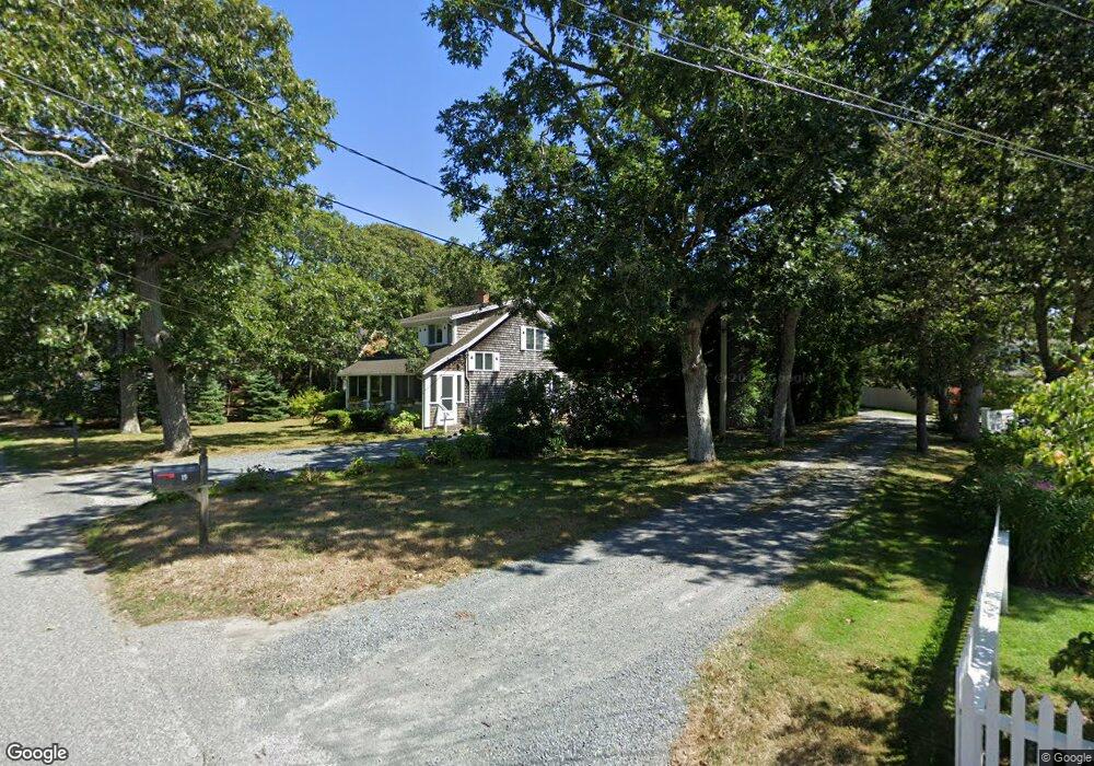
21 Miles St Harwich Port, MA 02646
Harwich Port NeighborhoodEstimated Value: $850,000 - $1,092,000
3
Beds
2
Baths
1,648
Sq Ft
$585/Sq Ft
Est. Value
About This Home
This home is located at 21 Miles St, Harwich Port, MA 02646 and is currently estimated at $964,543, approximately $585 per square foot. 21 Miles St is a home located in Barnstable County with nearby schools including Harwich Elementary School, Chatham Elementary School, and Monomoy Regional Middle School.
Create a Home Valuation Report for This Property
The Home Valuation Report is an in-depth analysis detailing your home's value as well as a comparison with similar homes in the area
Home Values in the Area
Average Home Value in this Area
Tax History Compared to Growth
Tax History
| Year | Tax Paid | Tax Assessment Tax Assessment Total Assessment is a certain percentage of the fair market value that is determined by local assessors to be the total taxable value of land and additions on the property. | Land | Improvement |
|---|---|---|---|---|
| 2025 | $4,831 | $817,400 | $431,400 | $386,000 |
| 2024 | $4,681 | $776,300 | $407,000 | $369,300 |
| 2023 | $4,568 | $687,900 | $370,000 | $317,900 |
| 2022 | $4,599 | $567,100 | $321,800 | $245,300 |
| 2021 | $4,463 | $518,900 | $292,500 | $226,400 |
| 2020 | $4,296 | $492,100 | $272,200 | $219,900 |
| 2019 | $4,110 | $474,000 | $258,500 | $215,500 |
| 2018 | $3,981 | $439,200 | $235,000 | $204,200 |
| 2017 | $3,764 | $419,600 | $218,800 | $200,800 |
| 2016 | $3,707 | $408,700 | $218,800 | $189,900 |
| 2015 | $3,672 | $409,400 | $214,500 | $194,900 |
| 2014 | $3,486 | $397,500 | $208,100 | $189,400 |
Source: Public Records
Map
Nearby Homes
- 515 Route 28
- 515 Massachusetts 28
- 15 Pleasant St Unit W24
- 23 Zylpha Rd
- 405 Lower County Rd Unit 21
- 405 Lower County Rd Unit 23
- 8 Wyndemere Bluffs Rd
- 9 Jason Ln
- 292 Massachusetts 28 Unit 1
- 292 Massachusetts 28 Unit 7
- 53 Freeman St
- 135 Sisson Rd
- 16 Mirasol Ln
- 297 Massachusetts 28
- 297 Massachusetts 28 Unit 1
- 7 Dunes Rd
- 292 Route 28 Unit 7
- 18 Old Campground
- 12 Old Campground Rd
- 264 Massachusetts 28