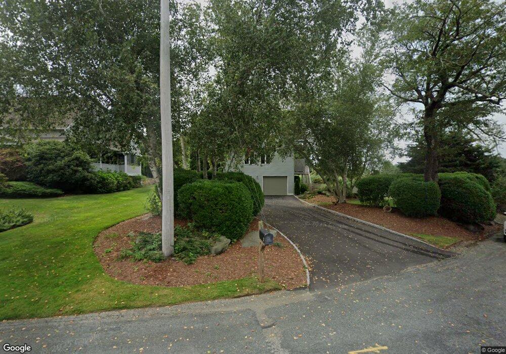
21 Morgan Dr Narragansett, RI 02882
Estimated Value: $1,046,000 - $1,287,000
3
Beds
3
Baths
2,290
Sq Ft
$507/Sq Ft
Est. Value
About This Home
This home is located at 21 Morgan Dr, Narragansett, RI 02882 and is currently estimated at $1,162,117, approximately $507 per square foot. 21 Morgan Dr is a home located in Washington County with nearby schools including Narragansett Elementary School, Narragansett Pier Middle School, and Narragansett High School.
Ownership History
Date
Name
Owned For
Owner Type
Purchase Details
Closed on
Jan 23, 2001
Sold by
Rossi Marie D and Walker Richard Lee
Bought by
Kadison Richard and Kadison Maria
Current Estimated Value
Home Financials for this Owner
Home Financials are based on the most recent Mortgage that was taken out on this home.
Original Mortgage
$100,000
Interest Rate
7.52%
Purchase Details
Closed on
Jan 23, 2000
Sold by
Rossi Marie D and Walker Richard Lee
Bought by
Kadison Richard and Kadison Maria
Home Financials for this Owner
Home Financials are based on the most recent Mortgage that was taken out on this home.
Original Mortgage
$100,000
Interest Rate
7.84%
Purchase Details
Closed on
Dec 30, 1997
Sold by
Kelly Colleen L
Bought by
Walker Richard Lee and Rossi Marie D
Purchase Details
Closed on
Feb 27, 1996
Sold by
Garcia Anthony J
Bought by
Anderson Kenneth and Kelly Colleen
Create a Home Valuation Report for This Property
The Home Valuation Report is an in-depth analysis detailing your home's value as well as a comparison with similar homes in the area
Home Values in the Area
Average Home Value in this Area
Purchase History
| Date | Buyer | Sale Price | Title Company |
|---|---|---|---|
| Kadison Richard | $317,000 | -- | |
| Kadison Richard | $317,000 | -- | |
| Walker Richard Lee | $270,000 | -- | |
| Anderson Kenneth | $280,000 | -- |
Source: Public Records
Mortgage History
| Date | Status | Borrower | Loan Amount |
|---|---|---|---|
| Open | Anderson Kenneth | $170,000 | |
| Closed | Anderson Kenneth | $170,000 | |
| Closed | Anderson Kenneth | $100,000 | |
| Previous Owner | Anderson Kenneth | $100,000 |
Source: Public Records
Tax History Compared to Growth
Tax History
| Year | Tax Paid | Tax Assessment Tax Assessment Total Assessment is a certain percentage of the fair market value that is determined by local assessors to be the total taxable value of land and additions on the property. | Land | Improvement |
|---|---|---|---|---|
| 2025 | $5,772 | $850,000 | $471,000 | $379,000 |
| 2024 | $5,568 | $850,100 | $471,000 | $379,100 |
| 2023 | $5,192 | $557,700 | $294,300 | $263,400 |
| 2022 | $5,019 | $557,700 | $294,300 | $263,400 |
| 2021 | $4,941 | $557,700 | $294,300 | $263,400 |
| 2020 | $6,008 | $573,300 | $230,000 | $343,300 |
| 2019 | $5,865 | $573,300 | $230,000 | $343,300 |
| 2018 | $5,704 | $573,300 | $230,000 | $343,300 |
| 2017 | $4,740 | $448,900 | $215,300 | $233,600 |
| 2016 | $4,525 | $448,900 | $215,300 | $233,600 |
| 2015 | $4,462 | $448,900 | $215,300 | $233,600 |
| 2014 | $4,769 | $475,000 | $233,200 | $241,800 |
Source: Public Records
Map
Nearby Homes
- 19 Castle Rd
- 135 Cliff Dr
- 727 Boston Neck Rd
- 11 Tupelo Trail
- 0 S River Dr
- 46 S River Dr
- 47 Wayland Trail
- 59 Spice Bush Trail
- 7 Leatherleaf Rd
- 229 Saugatucket Rd
- 121 Spice Bush Trail
- 0 Johnny Cake Trail Trail S Unit 1391340
- 80 Old Pine Rd
- 0 Indian Trail Trail S Unit 1389828
- 20 Narragansett Ave Unit 905
- 64 Juniper Trail
- 0 Betty Dr
- 73 Camden Ct
- 128 Camden Ct
- 56 Wanda St