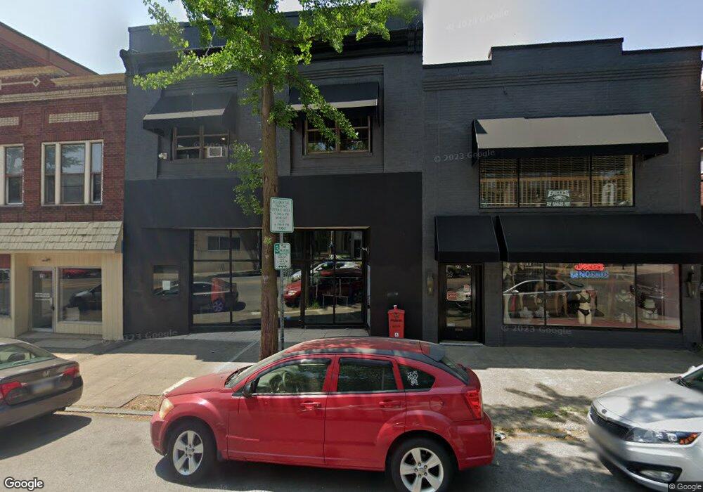
21 N Hanover St Unit STOREFRONT Pottstown, PA 19464
Downtown Pottstown Neighborhood
--
Bed
--
Bath
5,490
Sq Ft
1,742
Sq Ft Lot
About This Home
This home is located at 21 N Hanover St Unit STOREFRONT, Pottstown, PA 19464. 21 N Hanover St Unit STOREFRONT is a home located in Montgomery County with nearby schools including Pottstown Middle School, Pottstown Senior High School, and West-Mont Christian Academy.
Ownership History
Date
Name
Owned For
Owner Type
Purchase Details
Closed on
Aug 18, 2022
Sold by
Matthews Robert and Matthews Katherine
Bought by
Ammouri Mohammed
Purchase Details
Closed on
Apr 7, 2020
Sold by
Tax Claim Bureau
Bought by
Ammouri Mohammed
Purchase Details
Closed on
Mar 13, 2006
Sold by
Upper Hanover Twp Indus Dev Auth and Sands Stanley E
Bought by
Matthews Robert and Matthews Katherine
Home Financials for this Owner
Home Financials are based on the most recent Mortgage that was taken out on this home.
Original Mortgage
$243,000
Interest Rate
6.26%
Mortgage Type
Commercial
Create a Home Valuation Report for This Property
The Home Valuation Report is an in-depth analysis detailing your home's value as well as a comparison with similar homes in the area
Home Values in the Area
Average Home Value in this Area
Purchase History
| Date | Buyer | Sale Price | Title Company |
|---|---|---|---|
| Ammouri Mohammed | -- | -- | |
| Ammouri Mohammed | -- | None Listed On Document | |
| Ammouri Mohammed | $248,777 | None Available | |
| Matthews Robert | $304,000 | None Available |
Source: Public Records
Mortgage History
| Date | Status | Borrower | Loan Amount |
|---|---|---|---|
| Previous Owner | Matthews Robert | $243,000 |
Source: Public Records
Tax History Compared to Growth
Tax History
| Year | Tax Paid | Tax Assessment Tax Assessment Total Assessment is a certain percentage of the fair market value that is determined by local assessors to be the total taxable value of land and additions on the property. | Land | Improvement |
|---|---|---|---|---|
| 2025 | $7,522 | $122,550 | $35,250 | $87,300 |
| 2024 | $7,522 | $122,550 | $35,250 | $87,300 |
| 2023 | $7,419 | $122,550 | $35,250 | $87,300 |
| 2022 | $7,381 | $122,550 | $35,250 | $87,300 |
| 2021 | $7,296 | $122,550 | $35,250 | $87,300 |
| 2020 | $7,168 | $122,550 | $35,250 | $87,300 |
| 2019 | $7,004 | $122,550 | $35,250 | $87,300 |
| 2018 | $4,979 | $122,550 | $35,250 | $87,300 |
| 2017 | $6,549 | $122,550 | $35,250 | $87,300 |
| 2016 | $6,501 | $122,550 | $35,250 | $87,300 |
| 2015 | $6,460 | $122,550 | $35,250 | $87,300 |
| 2014 | $6,460 | $122,550 | $35,250 | $87,300 |
Source: Public Records
Map
Nearby Homes
- 21 N Hanover St Unit SUITE B, 2ND FLR
- 21 N Hanover St
- 27 N Hanover St
- 27 N Hanover St Unit 2
- 17 N Hanover St Unit 2NDFR
- 17 N Hanover St Unit 2A
- 17 N Hanover St Unit 3A
- 17 N Hanover St Unit 3B
- 29 N Hanover St
- 29 N Hanover St Unit 1
- 159 E High St
- 159 E High St Unit 400
- 140 King St
- 149 E High St
- 201 E High St Unit 7
- 201 E High St Unit 5
- 201 E High St Unit 3
- 201 E High St
- 57 N Hanover St
- 134 King St Unit REAR