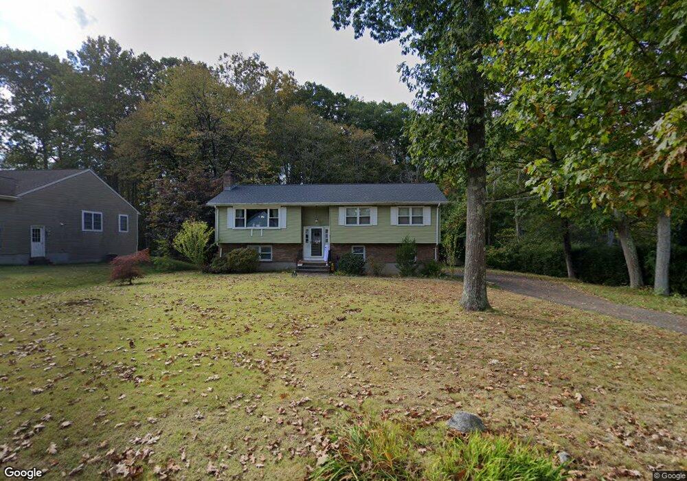
21 N Maple St East Hampton, CT 06424
Estimated Value: $344,000 - $407,015
3
Beds
3
Baths
1,234
Sq Ft
$308/Sq Ft
Est. Value
About This Home
This home is located at 21 N Maple St, East Hampton, CT 06424 and is currently estimated at $380,254, approximately $308 per square foot. 21 N Maple St is a home located in Middlesex County with nearby schools including Memorial School, Center Elementary School, and East Hampton Middle School.
Ownership History
Date
Name
Owned For
Owner Type
Purchase Details
Closed on
Nov 18, 2015
Sold by
Bagley Chad R
Bought by
Bagley Nicole L
Current Estimated Value
Purchase Details
Closed on
Apr 28, 2008
Sold by
Goncalves Candido and Goncalves Ana C
Bought by
Bagley Chad R and Bagley Nicole L
Home Financials for this Owner
Home Financials are based on the most recent Mortgage that was taken out on this home.
Original Mortgage
$205,200
Interest Rate
6.22%
Purchase Details
Closed on
Aug 9, 2006
Sold by
Evans Maureen F Est
Bought by
Goncalves Candido C and Goncalves Ana C
Purchase Details
Closed on
Sep 2, 2003
Sold by
Henaghan Pamela A and Henaghan Richard J
Bought by
Evans Maureen F
Purchase Details
Closed on
Apr 27, 1998
Sold by
Hosfelt Katherine G
Bought by
Henaghan Pamela A and Henaghan Richard J
Purchase Details
Closed on
Sep 3, 1987
Sold by
Curtis Lawrence D
Bought by
Pakutka Marsha A
Create a Home Valuation Report for This Property
The Home Valuation Report is an in-depth analysis detailing your home's value as well as a comparison with similar homes in the area
Home Values in the Area
Average Home Value in this Area
Purchase History
| Date | Buyer | Sale Price | Title Company |
|---|---|---|---|
| Bagley Nicole L | -- | -- | |
| Bagley Nicole L | -- | -- | |
| Bagley Chad R | $228,000 | -- | |
| Bagley Chad R | $228,000 | -- | |
| Goncalves Candido C | $220,000 | -- | |
| Goncalves Candido C | $220,000 | -- | |
| Evans Maureen F | $208,500 | -- | |
| Evans Maureen F | $208,500 | -- | |
| Henaghan Pamela A | $136,000 | -- | |
| Henaghan Pamela A | $136,000 | -- | |
| Pakutka Marsha A | $177,000 | -- |
Source: Public Records
Mortgage History
| Date | Status | Borrower | Loan Amount |
|---|---|---|---|
| Previous Owner | Pakutka Marsha A | $199,324 | |
| Previous Owner | Pakutka Marsha A | $205,200 |
Source: Public Records
Tax History
| Year | Tax Paid | Tax Assessment Tax Assessment Total Assessment is a certain percentage of the fair market value that is determined by local assessors to be the total taxable value of land and additions on the property. | Land | Improvement |
|---|---|---|---|---|
| 2025 | $5,523 | $139,080 | $38,740 | $100,340 |
| 2024 | $5,291 | $139,080 | $38,750 | $100,330 |
| 2023 | $5,015 | $139,080 | $38,750 | $100,330 |
| 2022 | $4,821 | $139,080 | $38,750 | $100,330 |
| 2021 | $4,802 | $139,080 | $38,750 | $100,330 |
| 2020 | $4,593 | $138,590 | $39,480 | $99,110 |
| 2019 | $4,641 | $140,050 | $40,590 | $99,460 |
| 2018 | $4,386 | $140,050 | $40,590 | $99,460 |
| 2017 | $4,386 | $140,050 | $40,590 | $99,460 |
| 2016 | $4,123 | $140,050 | $40,590 | $99,460 |
| 2015 | $3,633 | $130,770 | $39,070 | $91,700 |
| 2014 | $3,161 | $130,770 | $39,070 | $91,700 |
Source: Public Records
Map
Nearby Homes
Your Personal Tour Guide
Ask me questions while you tour the home.