21 N Water Tank Rd Oracle, AZ 85623
Estimated Value: $294,000 - $375,000
--
Bed
--
Bath
1,728
Sq Ft
$195/Sq Ft
Est. Value
About This Home
This home is located at 21 N Water Tank Rd, Oracle, AZ 85623 and is currently estimated at $336,542, approximately $194 per square foot. 21 N Water Tank Rd is a home with nearby schools including Mountain Vista School.
Ownership History
Date
Name
Owned For
Owner Type
Purchase Details
Closed on
Jun 28, 2001
Sold by
Gallardo Debra J T
Bought by
Gallardo Francisco K and Gallardo Debra J T
Current Estimated Value
Home Financials for this Owner
Home Financials are based on the most recent Mortgage that was taken out on this home.
Original Mortgage
$142,890
Outstanding Balance
$55,106
Interest Rate
7.15%
Estimated Equity
$281,436
Purchase Details
Closed on
Nov 14, 1995
Sold by
Crowson Carroll E and Crowson Betty L
Bought by
Gallardo Debra J T
Create a Home Valuation Report for This Property
The Home Valuation Report is an in-depth analysis detailing your home's value as well as a comparison with similar homes in the area
Home Values in the Area
Average Home Value in this Area
Purchase History
| Date | Buyer | Sale Price | Title Company |
|---|---|---|---|
| Gallardo Francisco K | -- | First American Title | |
| Gallardo Debra J T | $112,500 | Old Republic Title Agency |
Source: Public Records
Mortgage History
| Date | Status | Borrower | Loan Amount |
|---|---|---|---|
| Open | Gallardo Francisco K | $142,890 |
Source: Public Records
Tax History Compared to Growth
Tax History
| Year | Tax Paid | Tax Assessment Tax Assessment Total Assessment is a certain percentage of the fair market value that is determined by local assessors to be the total taxable value of land and additions on the property. | Land | Improvement |
|---|---|---|---|---|
| 2025 | $1,529 | $24,971 | -- | -- |
| 2024 | $1,417 | $26,850 | -- | -- |
| 2023 | $1,567 | $18,817 | $5,017 | $13,800 |
| 2022 | $1,417 | $15,941 | $5,017 | $10,924 |
| 2021 | $1,449 | $16,080 | $0 | $0 |
| 2020 | $1,422 | $15,219 | $0 | $0 |
| 2019 | $1,317 | $17,463 | $0 | $0 |
| 2018 | $1,264 | $17,240 | $0 | $0 |
| 2017 | $1,221 | $15,127 | $0 | $0 |
| 2016 | $1,181 | $15,410 | $5,342 | $10,069 |
| 2014 | -- | $10,504 | $3,749 | $6,756 |
Source: Public Records
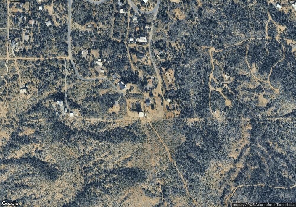
Map
Nearby Homes
- 275 W Rochette Rd NW
- 325 W Oak Hills Dr
- 335 W Oak Hills Dr
- 2.5 ac W Oak Hills Dr Unit A
- 181 W Oak Hills Dr
- 568 N Las Flores Dr
- 540 N Redbud Place
- TBD N Callas Dr Unit 20 Ac
- 1174 W Kokopelli Ln
- 280 W Oak Hills Dr
- 945 W Discover St
- 745 N Las Flores Dr
- TBD N Viento Dr Unit 1
- 0 W La Mariposa St Unit 22509508
- 853 N Stewart Dr
- TBD N Estill Dr Unit 9.54 AC
- 320 N Estill Dr
- 999 N Calle Manzanita
- 3.81 Acres Bachman Washington Rd
- 665 Azure Sky Dr
- 94 N Big Rock Dr
- 75 N Water Tank Rd
- 64 N Water Tank Rd
- 139 N Big Rock Dr
- 119 N Water Tank Rd
- 119 N Watertank Rd
- 160 N Big Rock Dr
- 0 Tbd Oak Hills Dr Unit 21905273
- 0 Tbd Oak Hills Dr Unit 21926186
- 0 Tbd Oak Hills Dr
- 193 N Big Rock Dr
- 0 N Decatur Cir Unit 24 21218908
- 0 N Decatur Cir Unit 21021554
- 157 N Water Tank Rd
- 242 N Big Rock Dr
- 2.72 ac. N Watertank Rd
- 275 W Rochette Rd
- 263 N Decatur Cir
- 286 N Big Rock Dr
- 225 N Water Tank Rd