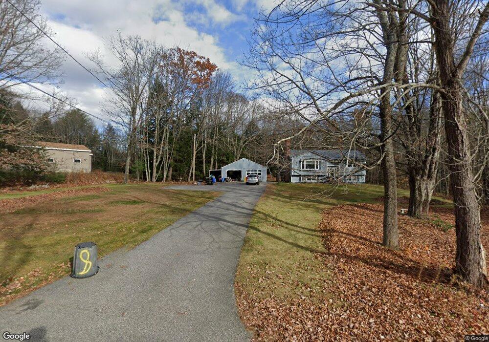
21 New Rd Hollis Center, ME 04042
Hollis NeighborhoodEstimated Value: $358,324 - $428,000
3
Beds
2
Baths
1,760
Sq Ft
$227/Sq Ft
Est. Value
About This Home
This home is located at 21 New Rd, Hollis Center, ME 04042 and is currently estimated at $399,331, approximately $226 per square foot. 21 New Rd is a home located in York County with nearby schools including Bonny Eagle High School.
Ownership History
Date
Name
Owned For
Owner Type
Purchase Details
Closed on
Feb 21, 2007
Sold by
Jeffers Suzanne M and Jeffers Johnnie E
Bought by
Seymour Tracy L and Seymour Keith A
Current Estimated Value
Home Financials for this Owner
Home Financials are based on the most recent Mortgage that was taken out on this home.
Original Mortgage
$204,015
Interest Rate
6.23%
Mortgage Type
VA
Create a Home Valuation Report for This Property
The Home Valuation Report is an in-depth analysis detailing your home's value as well as a comparison with similar homes in the area
Home Values in the Area
Average Home Value in this Area
Purchase History
| Date | Buyer | Sale Price | Title Company |
|---|---|---|---|
| Seymour Tracy L | -- | -- |
Source: Public Records
Mortgage History
| Date | Status | Borrower | Loan Amount |
|---|---|---|---|
| Open | Seymour Tracy L | $201,922 | |
| Closed | Seymour Tracy L | $204,015 |
Source: Public Records
Tax History Compared to Growth
Tax History
| Year | Tax Paid | Tax Assessment Tax Assessment Total Assessment is a certain percentage of the fair market value that is determined by local assessors to be the total taxable value of land and additions on the property. | Land | Improvement |
|---|---|---|---|---|
| 2024 | $2,537 | $169,130 | $61,880 | $107,250 |
| 2023 | $2,452 | $169,130 | $61,880 | $107,250 |
| 2022 | $2,537 | $169,130 | $61,880 | $107,250 |
| 2021 | $2,410 | $169,130 | $61,880 | $107,250 |
| 2020 | $2,368 | $169,130 | $61,880 | $107,250 |
| 2019 | $2,326 | $169,130 | $61,880 | $107,250 |
| 2018 | $2,241 | $169,130 | $61,880 | $107,250 |
| 2017 | $2,114 | $169,130 | $61,880 | $107,250 |
| 2016 | $2,021 | $169,130 | $61,880 | $107,250 |
| 2015 | $2,021 | $169,130 | $61,880 | $107,250 |
| 2014 | $1,945 | $169,130 | $61,880 | $107,250 |
| 2013 | $1,860 | $169,130 | $61,880 | $107,250 |
Source: Public Records
Map
Nearby Homes
- 29 New Rd
- 24 New Rd
- 32 New Rd
- 0 New Rd Unit 1510191
- 0 New Rd Unit 1033210
- 0 New Rd Unit 1037502
- 0 New Rd Unit 1057435
- 73 Cape Rd
- 114 Cape Rd
- 40 New Rd
- 96 Cape Rd
- 111 Cape Rd
- 111 Cape Rd (Rt 117)
- 62 Main St
- 63 Main St
- 106 Cape Rd
- 29 Bar Mills Rd
- 6 Mulligan Ln
- 0 Route 117 - Cape
- 308 Rte 117 Cape Rd Vrm#32