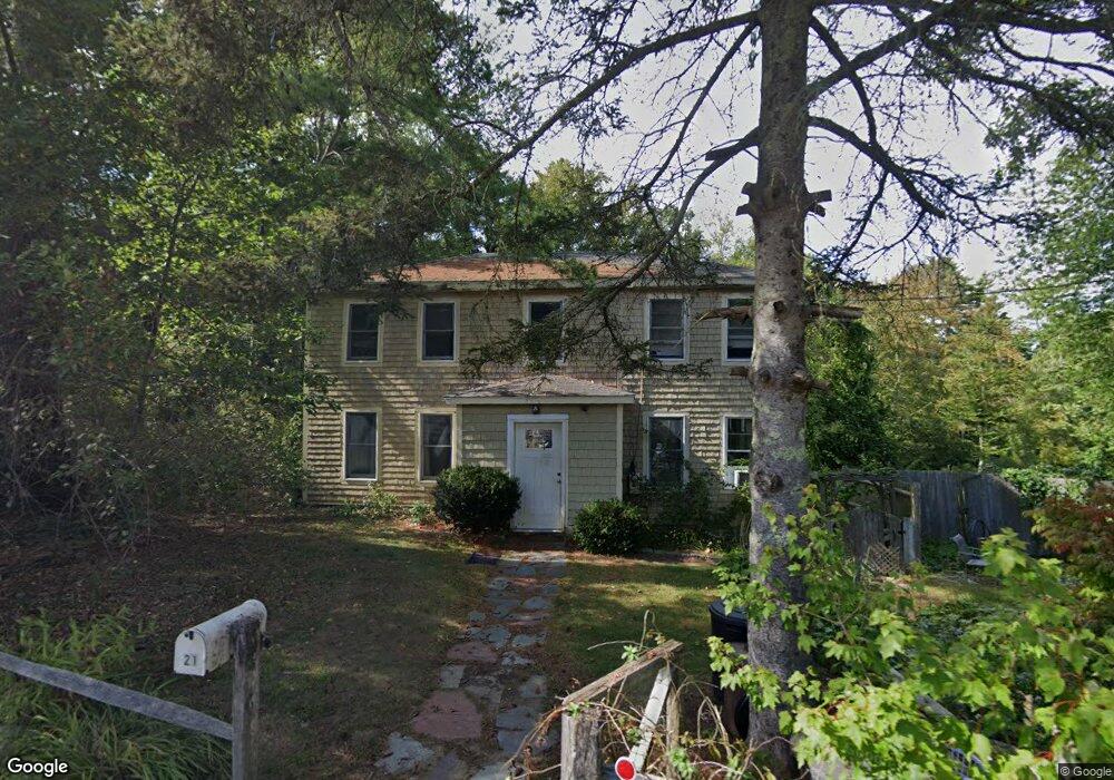
21 New Way Ln Gloucester, MA 01930
West Gloucester NeighborhoodEstimated Value: $480,000 - $667,000
4
Beds
1
Bath
1,774
Sq Ft
$326/Sq Ft
Est. Value
About This Home
This home is located at 21 New Way Ln, Gloucester, MA 01930 and is currently estimated at $577,883, approximately $325 per square foot. 21 New Way Ln is a home located in Essex County with nearby schools including West Parish, Ralph B O'maley Middle School, and Gloucester High School.
Ownership History
Date
Name
Owned For
Owner Type
Purchase Details
Closed on
Mar 5, 2013
Sold by
Conley Barbara A and Perra Malcolm
Bought by
Perra Barbara A and Perra Malcolm R
Current Estimated Value
Home Financials for this Owner
Home Financials are based on the most recent Mortgage that was taken out on this home.
Original Mortgage
$194,800
Outstanding Balance
$88,987
Interest Rate
3.43%
Mortgage Type
New Conventional
Estimated Equity
$488,896
Purchase Details
Closed on
Jul 1, 1977
Bought by
Perra Barbara and Perra Malcolm R
Create a Home Valuation Report for This Property
The Home Valuation Report is an in-depth analysis detailing your home's value as well as a comparison with similar homes in the area
Home Values in the Area
Average Home Value in this Area
Purchase History
| Date | Buyer | Sale Price | Title Company |
|---|---|---|---|
| Perra Barbara A | -- | -- | |
| Perra Barbara | $27,000 | -- |
Source: Public Records
Mortgage History
| Date | Status | Borrower | Loan Amount |
|---|---|---|---|
| Open | Perra Barbara | $194,800 | |
| Previous Owner | Perra Barbara | $100,000 | |
| Previous Owner | Perra Barbara | $43,000 |
Source: Public Records
Tax History
| Year | Tax Paid | Tax Assessment Tax Assessment Total Assessment is a certain percentage of the fair market value that is determined by local assessors to be the total taxable value of land and additions on the property. | Land | Improvement |
|---|---|---|---|---|
| 2025 | $4,652 | $478,600 | $160,000 | $318,600 |
| 2024 | $4,583 | $471,000 | $152,400 | $318,600 |
| 2023 | $4,382 | $413,800 | $136,100 | $277,700 |
| 2022 | $4,235 | $361,000 | $118,300 | $242,700 |
| 2021 | $4,082 | $328,100 | $107,600 | $220,500 |
| 2020 | $4,033 | $327,100 | $107,600 | $219,500 |
| 2019 | $3,849 | $303,300 | $107,600 | $195,700 |
| 2018 | $3,704 | $286,500 | $107,600 | $178,900 |
| 2017 | $3,586 | $271,900 | $102,500 | $169,400 |
| 2016 | $3,494 | $256,700 | $107,000 | $149,700 |
| 2015 | $3,343 | $244,900 | $107,000 | $137,900 |
Source: Public Records
Map
Nearby Homes
- 368 Essex Ave
- 18 Lyndale Ave
- 6 Stanwood Point Unit B
- 5 Samoset Rd Unit B
- 587 Essex Ave
- 5 Lepage Ln
- 24 Cobblestone Ln Unit 603
- 117 Bray St
- 7 Leaman Dr
- 145 Essex Ave Unit 512
- 145 Essex Ave Unit 402
- 5 Marshfield St
- 13 Leslie o Johnson Rd
- 3 Rockland St
- 15 Harvard St
- 13 Honeysuckle Rd
- 15 Lufkin Point Rd
- 6 Monroe Ct
- 167 Atlantic St
- 20 Beacon St
Your Personal Tour Guide
Ask me questions while you tour the home.