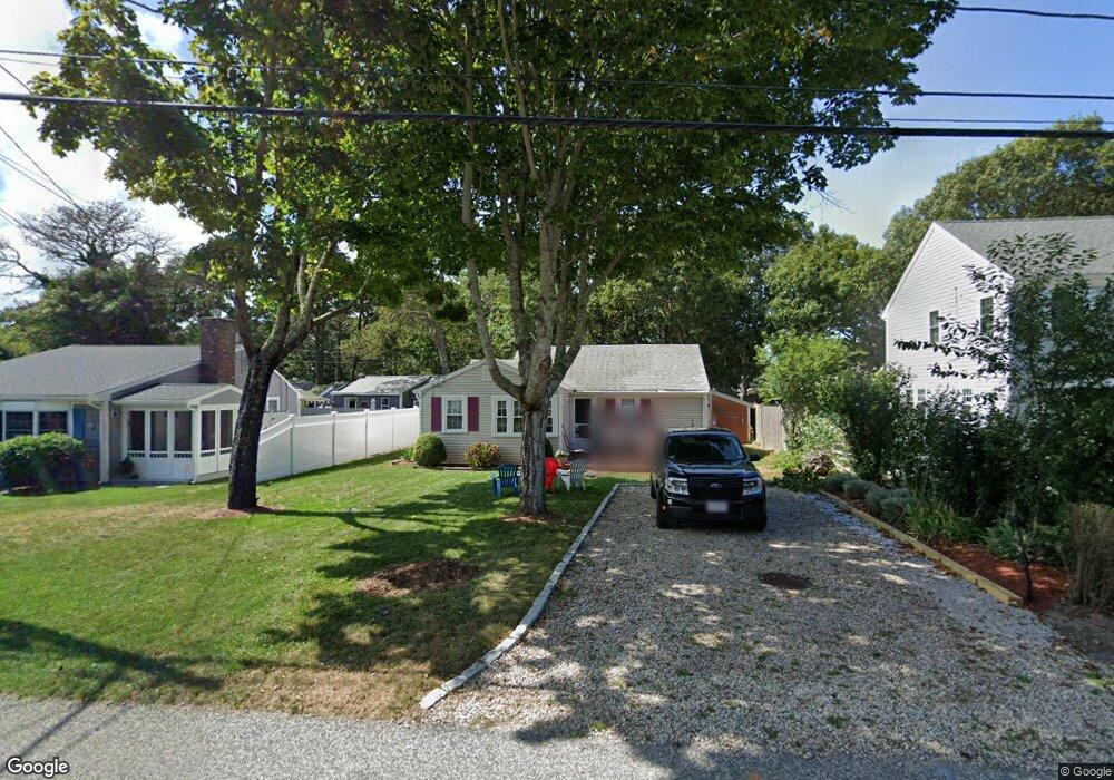
21 Oak St Dennis Port, MA 02639
Dennis Port NeighborhoodEstimated Value: $359,000 - $716,000
3
Beds
1
Bath
833
Sq Ft
$712/Sq Ft
Est. Value
About This Home
This home is located at 21 Oak St, Dennis Port, MA 02639 and is currently estimated at $593,060, approximately $711 per square foot. 21 Oak St is a home located in Barnstable County with nearby schools including Dennis-Yarmouth Regional High School and St. Pius X. School.
Ownership History
Date
Name
Owned For
Owner Type
Purchase Details
Closed on
Apr 11, 2016
Sold by
Scipione Roy J and Scipione Joanne S
Bought by
Scipione Ft and Scipione
Current Estimated Value
Purchase Details
Closed on
Jul 9, 2009
Sold by
Scipione Roy J and Scipione Joanne S
Bought by
Scipione Roy J and Scipione Joanne S
Home Financials for this Owner
Home Financials are based on the most recent Mortgage that was taken out on this home.
Original Mortgage
$171,000
Interest Rate
4.93%
Mortgage Type
Purchase Money Mortgage
Purchase Details
Closed on
Nov 12, 1999
Sold by
Kjaa T
Bought by
Scipione Roy J and Scipione Joanne S
Home Financials for this Owner
Home Financials are based on the most recent Mortgage that was taken out on this home.
Original Mortgage
$80,000
Interest Rate
7.68%
Mortgage Type
Purchase Money Mortgage
Create a Home Valuation Report for This Property
The Home Valuation Report is an in-depth analysis detailing your home's value as well as a comparison with similar homes in the area
Home Values in the Area
Average Home Value in this Area
Purchase History
| Date | Buyer | Sale Price | Title Company |
|---|---|---|---|
| Scipione Ft | -- | -- | |
| Scipione Roy J | -- | -- | |
| Scipione Roy J | $100,000 | -- | |
| Scipione Ft | -- | -- | |
| Scipione Roy J | -- | -- |
Source: Public Records
Mortgage History
| Date | Status | Borrower | Loan Amount |
|---|---|---|---|
| Previous Owner | Scipione Roy J | $171,000 | |
| Previous Owner | Scipione Roy J | $80,000 |
Source: Public Records
Tax History Compared to Growth
Tax History
| Year | Tax Paid | Tax Assessment Tax Assessment Total Assessment is a certain percentage of the fair market value that is determined by local assessors to be the total taxable value of land and additions on the property. | Land | Improvement |
|---|---|---|---|---|
| 2025 | $2,437 | $562,900 | $302,700 | $260,200 |
| 2024 | $2,285 | $520,400 | $291,100 | $229,300 |
| 2023 | $2,209 | $473,000 | $264,600 | $208,400 |
| 2022 | $2,190 | $391,000 | $238,400 | $152,600 |
| 2021 | $0 | $358,500 | $233,700 | $124,800 |
| 2020 | $2,022 | $331,400 | $218,100 | $113,300 |
| 2019 | $2,230 | $361,400 | $254,600 | $106,800 |
| 2018 | $0 | $300,600 | $203,600 | $97,000 |
| 2017 | $0 | $297,500 | $203,600 | $93,900 |
| 2016 | $1,821 | $278,900 | $198,700 | $80,200 |
| 2015 | $1,537 | $240,200 | $160,000 | $80,200 |
| 2014 | $1,464 | $230,500 | $150,300 | $80,200 |
Source: Public Records
Map
Nearby Homes
- 37 Beach Hills Rd
- 37-A Beach Hills Rd
- 22 Ferncliff Rd
- 281 Old Wharf Rd
- 262 Old Wharf Rd Unit 27
- 262 Old Wharf Rd Unit 18
- 262 Old Wharf Rd Unit 67
- 262 Old Wharf Rd Unit 20
- 7 Ferncliff Rd
- 251 Old Wharf Rd Unit 109
- 241 Old Wharf Rd Unit 127
- 241 Old Wharf Rd Unit 82
- 241 Old Wharf Rd Unit 90
- 241 Old Wharf Rd Unit 88
- 102 Sea St
- 15 Glendon Rd
- 217 Old Wharf Rd Unit 64
- 31 Easy St
- 402 Old Wharf Rd
- 402 Old Wharf Rd