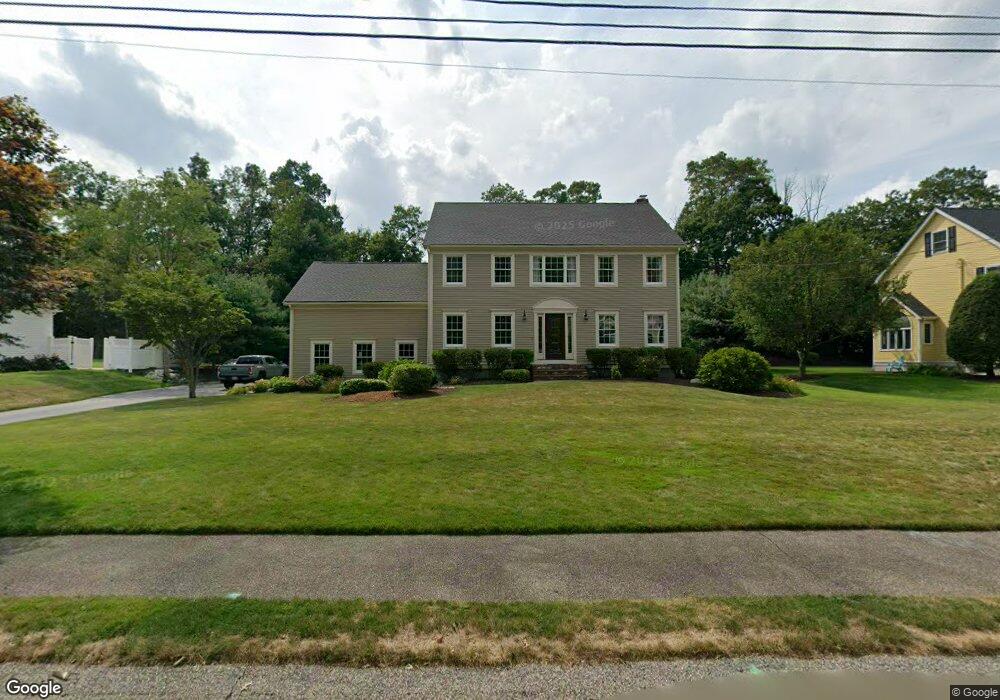
21 Olde Tower Ln North Attleboro, MA 02760
North Attleboro NeighborhoodEstimated Value: $900,136 - $1,111,000
4
Beds
3
Baths
3,175
Sq Ft
$315/Sq Ft
Est. Value
About This Home
This home is located at 21 Olde Tower Ln, North Attleboro, MA 02760 and is currently estimated at $1,001,034, approximately $315 per square foot. 21 Olde Tower Ln is a home located in Bristol County with nearby schools including North Attleboro High School, St John The Evangelist School, and Bishop Feehan High School.
Ownership History
Date
Name
Owned For
Owner Type
Purchase Details
Closed on
Aug 29, 2001
Sold by
Flynn Peter J and Flynn Pamela A
Bought by
Barney Kevin M and Barney Tracey M
Current Estimated Value
Purchase Details
Closed on
Oct 15, 1992
Sold by
Christopher Bldrs Corp
Bought by
Flynn Peter J and Flynn Pamela A
Create a Home Valuation Report for This Property
The Home Valuation Report is an in-depth analysis detailing your home's value as well as a comparison with similar homes in the area
Home Values in the Area
Average Home Value in this Area
Purchase History
| Date | Buyer | Sale Price | Title Company |
|---|---|---|---|
| Barney Kevin M | $428,000 | -- | |
| Flynn Peter J | $225,000 | -- |
Source: Public Records
Mortgage History
| Date | Status | Borrower | Loan Amount |
|---|---|---|---|
| Open | Flynn Peter J | $310,000 | |
| Closed | Flynn Peter J | $300,000 |
Source: Public Records
Tax History Compared to Growth
Tax History
| Year | Tax Paid | Tax Assessment Tax Assessment Total Assessment is a certain percentage of the fair market value that is determined by local assessors to be the total taxable value of land and additions on the property. | Land | Improvement |
|---|---|---|---|---|
| 2025 | $9,571 | $811,800 | $161,100 | $650,700 |
| 2024 | $9,712 | $841,600 | $167,800 | $673,800 |
| 2023 | $9,160 | $716,200 | $167,800 | $548,400 |
| 2022 | $8,674 | $622,700 | $174,500 | $448,200 |
| 2021 | $8,583 | $601,500 | $174,500 | $427,000 |
| 2020 | $8,459 | $589,500 | $174,500 | $415,000 |
| 2019 | $8,235 | $578,300 | $158,700 | $419,600 |
| 2018 | $7,470 | $560,000 | $164,800 | $395,200 |
| 2017 | $7,403 | $560,000 | $164,800 | $395,200 |
| 2016 | $7,247 | $548,200 | $189,900 | $358,300 |
| 2015 | $6,930 | $527,400 | $189,900 | $337,500 |
| 2014 | $6,636 | $501,200 | $157,900 | $343,300 |
Source: Public Records
Map
Nearby Homes
- 47 Glenfield Rd
- 31 Walnut Rd
- 30 Juniper Rd Unit 37
- 1 Diamond St
- 47 Juniper Rd Unit F9
- 90 Walnut Rd
- 121 E Washington St Unit 13
- 121 E Washington St Unit 11
- 121 E Washington St Unit 12
- 121 E Washington St Unit 8
- 121 E Washington St Unit 6
- 11 Primrose Terrace
- 251 Mount Hope St
- 82 Reservoir St
- 130 E Washington St Unit 36
- 130 E Washington St Unit 84
- 130 E Washington St Unit 71
- 417 Mount Hope St
- 24 S Bulfinch St Unit 202
- 334 S Washington St
- 11 Olde Tower Ln
- 36 Glenfield Rd
- 26 Glenfield Rd
- 12 Olde Tower Ln
- 41 Olde Tower Ln
- 46 Glenfield Rd
- 22 Olde Tower Ln
- 16 Glenfield Rd
- 1 Olde Tower Ln
- 2 Olde Tower Ln
- 32 Olde Tower Ln
- 56 Glenfield Rd
- 51 Olde Tower Ln
- 251 Reservoir St
- 27 Glenfield Rd
- 37 Glenfield Rd
- 17 Glenfield Rd
- 42 Olde Tower Ln
- 267 Reservoir St
- 66 Glenfield Rd