21 Orchard Ave Unit K Haverhill, MA 01830
Riverside NeighborhoodEstimated Value: $348,000 - $373,000
2
Beds
2
Baths
1,020
Sq Ft
$352/Sq Ft
Est. Value
About This Home
This home is located at 21 Orchard Ave Unit K, Haverhill, MA 01830 and is currently estimated at $359,478, approximately $352 per square foot. 21 Orchard Ave Unit K is a home located in Essex County with nearby schools including Golden Hill, Dr. Paul Nettle Middle School, and Haverhill High School.
Ownership History
Date
Name
Owned For
Owner Type
Purchase Details
Closed on
Nov 26, 2007
Sold by
Mcdonald Michael and Mers
Bought by
Usa Va Affairs
Current Estimated Value
Purchase Details
Closed on
Oct 3, 2006
Sold by
Olsen Paul D Est
Bought by
Mcdonald Michael T
Home Financials for this Owner
Home Financials are based on the most recent Mortgage that was taken out on this home.
Original Mortgage
$168,445
Interest Rate
6.52%
Mortgage Type
VA
Create a Home Valuation Report for This Property
The Home Valuation Report is an in-depth analysis detailing your home's value as well as a comparison with similar homes in the area
Home Values in the Area
Average Home Value in this Area
Purchase History
| Date | Buyer | Sale Price | Title Company |
|---|---|---|---|
| Usa Va Affairs | $145,415 | -- | |
| Mcdonald Michael T | $164,900 | -- |
Source: Public Records
Mortgage History
| Date | Status | Borrower | Loan Amount |
|---|---|---|---|
| Open | Mcdonald Michael T | $127,075 | |
| Closed | Mcdonald Michael T | $7,160 | |
| Previous Owner | Mcdonald Michael T | $168,445 |
Source: Public Records
Tax History Compared to Growth
Tax History
| Year | Tax Paid | Tax Assessment Tax Assessment Total Assessment is a certain percentage of the fair market value that is determined by local assessors to be the total taxable value of land and additions on the property. | Land | Improvement |
|---|---|---|---|---|
| 2025 | $3,368 | $314,500 | $0 | $314,500 |
| 2024 | $2,870 | $269,700 | $0 | $269,700 |
| 2023 | $2,675 | $239,900 | $0 | $239,900 |
| 2022 | $2,450 | $192,600 | $0 | $192,600 |
| 2021 | $2,279 | $169,600 | $0 | $169,600 |
| 2020 | $2,229 | $163,900 | $0 | $163,900 |
| 2019 | $2,127 | $152,500 | $0 | $152,500 |
| 2018 | $2,092 | $146,700 | $0 | $146,700 |
| 2017 | $1,886 | $125,800 | $0 | $125,800 |
| 2016 | $1,845 | $120,100 | $0 | $120,100 |
| 2015 | $1,756 | $114,400 | $0 | $114,400 |
Source: Public Records
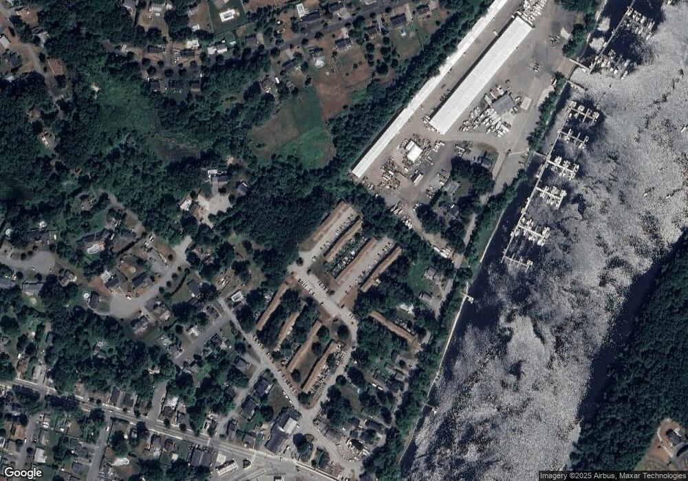
Map
Nearby Homes
- 23 Orchard Ave Unit E
- 19 Orchard Ave Unit F
- 144 Old Ferry Rd Unit H
- 28 Coffin Ave
- 63 Old Ferry Rd
- 49 Douglas St
- 47 Gardner St
- 358 Main St
- 280 E Broadway
- 33 Groveland Commons Way
- 3 Marjorie St
- 104 Keeley St Unit A
- 7 Marjorie St
- 65 Madison St Unit 65
- 20 Francis Ave
- 54 Lincoln Ave
- 404 Main St
- 6 Highland Ave
- 18-1/2 Cannon Hill Ave
- 425 Main St
- 21B Orchard Ave Unit 21B
- 21 Orchard Ave Unit L
- 21 Orchard Ave Unit J
- 21 Orchard Ave Unit H
- 21 Orchard Ave Unit G
- 21 Orchard Ave Unit F
- 21 Orchard Ave Unit E
- 21 Orchard Ave Unit D
- 21 Orchard Ave Unit C
- 21 Orchard Ave Unit B
- 21 Orchard Ave Unit A
- 21 Orchard Ave Unit E
- 21 Orchard Ave Unit G
- 21C Orchard Ave
- 21 Orchard Ave Unit 21L
- 21A Orchard Ave Unit A
- 21F Orchard Ave Unit F 21
- 21 Orchard Ave Unit K-21
- 21A Orchard Ave Unit 21A
- 21 Orchard Ave Unit L