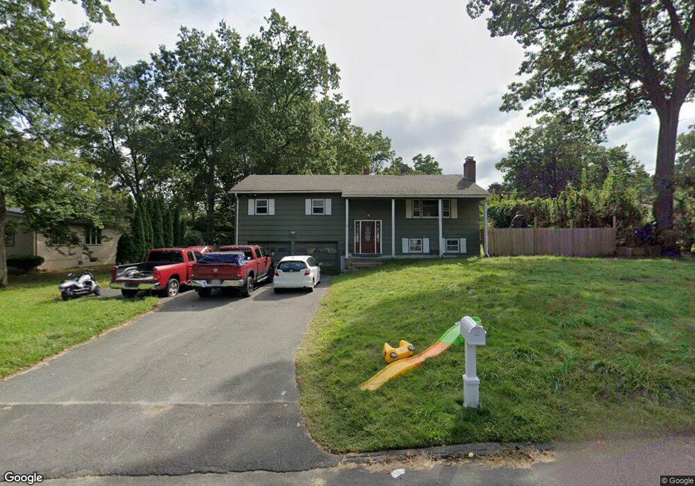
21 Palo Alto Rd Springfield, MA 01128
Sixteen Acres NeighborhoodEstimated Value: $392,070 - $416,000
4
Beds
2
Baths
2,000
Sq Ft
$203/Sq Ft
Est. Value
About This Home
This home is located at 21 Palo Alto Rd, Springfield, MA 01128 and is currently estimated at $405,268, approximately $202 per square foot. 21 Palo Alto Rd is a home located in Hampden County with nearby schools including Daniel B Brunton, M Marcus Kiley Middle, and Springfield High School of Science and Technology.
Ownership History
Date
Name
Owned For
Owner Type
Purchase Details
Closed on
Nov 23, 2011
Sold by
Taylor Robert W
Bought by
Jimenez Eileen
Current Estimated Value
Home Financials for this Owner
Home Financials are based on the most recent Mortgage that was taken out on this home.
Original Mortgage
$175,437
Outstanding Balance
$120,952
Interest Rate
4.25%
Mortgage Type
FHA
Estimated Equity
$284,316
Purchase Details
Closed on
Dec 5, 2008
Sold by
Taylor Robert W and Taylor Robert S
Bought by
Taylor Robert W
Create a Home Valuation Report for This Property
The Home Valuation Report is an in-depth analysis detailing your home's value as well as a comparison with similar homes in the area
Home Values in the Area
Average Home Value in this Area
Purchase History
| Date | Buyer | Sale Price | Title Company |
|---|---|---|---|
| Jimenez Eileen | $180,000 | -- | |
| Taylor Robert W | -- | -- |
Source: Public Records
Mortgage History
| Date | Status | Borrower | Loan Amount |
|---|---|---|---|
| Open | Jimenez Eileen | $175,437 |
Source: Public Records
Tax History Compared to Growth
Tax History
| Year | Tax Paid | Tax Assessment Tax Assessment Total Assessment is a certain percentage of the fair market value that is determined by local assessors to be the total taxable value of land and additions on the property. | Land | Improvement |
|---|---|---|---|---|
| 2025 | $4,869 | $310,500 | $64,300 | $246,200 |
| 2024 | $5,048 | $314,300 | $64,300 | $250,000 |
| 2023 | $5,064 | $297,000 | $61,200 | $235,800 |
| 2022 | $4,539 | $241,200 | $64,400 | $176,800 |
| 2021 | $4,054 | $214,500 | $58,500 | $156,000 |
| 2020 | $4,135 | $211,700 | $58,500 | $153,200 |
| 2019 | $4,099 | $208,300 | $58,500 | $149,800 |
| 2018 | $4,056 | $206,100 | $58,500 | $147,600 |
| 2017 | $3,950 | $200,900 | $58,500 | $142,400 |
| 2016 | $3,836 | $195,100 | $58,500 | $136,600 |
| 2015 | $3,657 | $185,900 | $58,500 | $127,400 |
Source: Public Records
Map
Nearby Homes
- 71 Hilltop St
- 17 Skyridge Ln
- 124 Sierra Vista Rd
- 65 Fair Oak Rd
- 81 Oak Hollow Rd
- 19 Ruthven St
- 217 Hanson Dr
- 263 Cooley St
- 22 Woodland Rd
- 152 Druid Hill Rd
- 31 Acrebrook Rd
- 383 Porter Rd
- 50 Fox Woods Dr
- 0 Apple Blossom Ln
- 460 Soule Rd
- 17 Jeanne Marie St
- 65 Wilshire Rd
- 5 Kerry Dr
- 399 Elm St
- 152 Brookhaven Dr
- 31 Palo Alto Rd
- 55 Gralia Drive Springfield Ma
- Lot 2 Parker St
- 279 Forest Hills Rd
- 269 Forest Hills Rd
- 289 Forest Hills Rd
- 43 Palo Alto Rd
- 26 Corey Rd
- 22 Palo Alto Rd
- 253 Forest Hills Rd
- 32 Palo Alto Rd
- 36 Corey Rd
- 299 Forest Hills Rd
- 44 Palo Alto Rd
- 44 Corey Rd
- 280 Forest Hills Rd
- 53 Palo Alto Rd
- 243 Forest Hills Rd
- 135 Bartels St
- 268 Forest Hills Rd