21 Parsons Rd Dixmont, ME 04932
Estimated Value: $217,417 - $285,000
1
Bed
1
Bath
936
Sq Ft
$274/Sq Ft
Est. Value
About This Home
This home is located at 21 Parsons Rd, Dixmont, ME 04932 and is currently estimated at $256,104, approximately $273 per square foot. 21 Parsons Rd is a home located in Penobscot County with nearby schools including Nokomis Regional Middle School/High School.
Ownership History
Date
Name
Owned For
Owner Type
Purchase Details
Closed on
May 15, 2020
Sold by
Tweedie Terry L
Bought by
Tweedie Allan G and Tweedie Terry L
Current Estimated Value
Home Financials for this Owner
Home Financials are based on the most recent Mortgage that was taken out on this home.
Original Mortgage
$100,000
Outstanding Balance
$88,614
Interest Rate
3.3%
Mortgage Type
Stand Alone Refi Refinance Of Original Loan
Estimated Equity
$167,490
Purchase Details
Closed on
Jan 2, 2008
Sold by
Parsons Betty E
Bought by
Tweedie Terry L
Home Financials for this Owner
Home Financials are based on the most recent Mortgage that was taken out on this home.
Original Mortgage
$81,000
Interest Rate
6.27%
Mortgage Type
Commercial
Create a Home Valuation Report for This Property
The Home Valuation Report is an in-depth analysis detailing your home's value as well as a comparison with similar homes in the area
Home Values in the Area
Average Home Value in this Area
Purchase History
| Date | Buyer | Sale Price | Title Company |
|---|---|---|---|
| Tweedie Allan G | -- | None Available | |
| Tweedie Allan G | -- | None Available | |
| Tweedie Terry L | -- | -- | |
| Tweedie Terry L | -- | -- |
Source: Public Records
Mortgage History
| Date | Status | Borrower | Loan Amount |
|---|---|---|---|
| Open | Tweedie Allan G | $100,000 | |
| Closed | Tweedie Allan G | $100,000 | |
| Previous Owner | Tweedie Terry L | $81,000 |
Source: Public Records
Tax History Compared to Growth
Tax History
| Year | Tax Paid | Tax Assessment Tax Assessment Total Assessment is a certain percentage of the fair market value that is determined by local assessors to be the total taxable value of land and additions on the property. | Land | Improvement |
|---|---|---|---|---|
| 2024 | $2,097 | $194,140 | $55,990 | $138,150 |
| 2023 | $1,880 | $138,260 | $41,480 | $96,780 |
| 2022 | $1,615 | $124,210 | $41,480 | $82,730 |
| 2021 | $1,615 | $124,210 | $41,480 | $82,730 |
| 2020 | $1,615 | $124,210 | $41,480 | $82,730 |
| 2019 | $1,522 | $124,210 | $41,480 | $82,730 |
| 2018 | $1,397 | $124,207 | $41,476 | $82,731 |
| 2017 | $1,193 | $97,410 | $27,110 | $70,300 |
| 2016 | $1,096 | $97,410 | $27,110 | $70,300 |
| 2015 | $998 | $97,410 | $27,110 | $70,300 |
| 2014 | $1,072 | $97,410 | $27,110 | $70,300 |
Source: Public Records
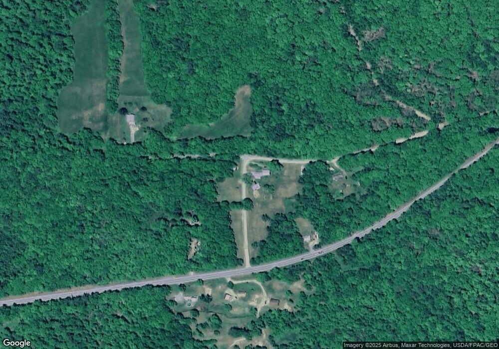
Map
Nearby Homes
- 4685 Kennebec Rd
- 582 Western Ave
- 581 Western Ave
- 5-1 Garland & Nason Hill Roads
- 2926 Western Ave
- Lot 3 & 4 Nason Hill Rd
- 00 Cottrell Rd
- 1083 North Rd
- 165 Red School House Rd
- 13 N Long Swamp Rd
- 664 North Rd
- 1957 Dixmont Rd
- 1719 Dixmont Rd
- 1766 Dixmont Rd
- M10L13-6 Moosehead Trail Hwy
- 678 Moosehead Trail
- M 4 L 43 Off Route 9 and Route 7
- 262 Burke Ln
- 2522 Western Ave
- 80 Flinn Rd
- 211 Western Ave
- 301 Wellman Pond Rd
- 167 Western Ave
- 258 Wellman Pond Rd
- 84 Western Ave
- 82 Western Ave
- 70 Western Ave
- 67 Western Ave
- 320 Western Ave
- 53 Western Ave
- 300 Western Ave
- 394 Old County Rd S
- 35 Western Ave
- 379 Old County Rd S
- 329 Western Ave
- 18 Western Ave
- 0 Western Ave Unit 1488728
- 0 Western Ave Unit 1242545
- 00 Western Ave
- 0 Western Ave Unit 1052234