21 Perry Rd Lancaster, MA 01523
Estimated Value: $181,000 - $691,000
1
Bed
1
Bath
460
Sq Ft
$770/Sq Ft
Est. Value
About This Home
This home is located at 21 Perry Rd, Lancaster, MA 01523 and is currently estimated at $354,183, approximately $769 per square foot. 21 Perry Rd is a home located in Worcester County with nearby schools including Mary Rowlandson Elementary School, Luther Burbank Middle School, and Nashoba Regional High School.
Create a Home Valuation Report for This Property
The Home Valuation Report is an in-depth analysis detailing your home's value as well as a comparison with similar homes in the area
Home Values in the Area
Average Home Value in this Area
Tax History
| Year | Tax Paid | Tax Assessment Tax Assessment Total Assessment is a certain percentage of the fair market value that is determined by local assessors to be the total taxable value of land and additions on the property. | Land | Improvement |
|---|---|---|---|---|
| 2025 | $541 | $33,500 | $0 | $33,500 |
| 2024 | $548 | $31,400 | $0 | $31,400 |
| 2023 | $0 | $31,400 | $0 | $31,400 |
| 2022 | $580 | $29,800 | $0 | $29,800 |
| 2021 | $595 | $29,800 | $0 | $29,800 |
| 2020 | $572 | $28,800 | $0 | $28,800 |
| 2019 | $496 | $25,100 | $0 | $25,100 |
| 2018 | $418 | $20,900 | $0 | $20,900 |
| 2016 | $358 | $18,300 | $0 | $18,300 |
| 2015 | $332 | $17,700 | $0 | $17,700 |
| 2014 | $352 | $18,600 | $0 | $18,600 |
Source: Public Records
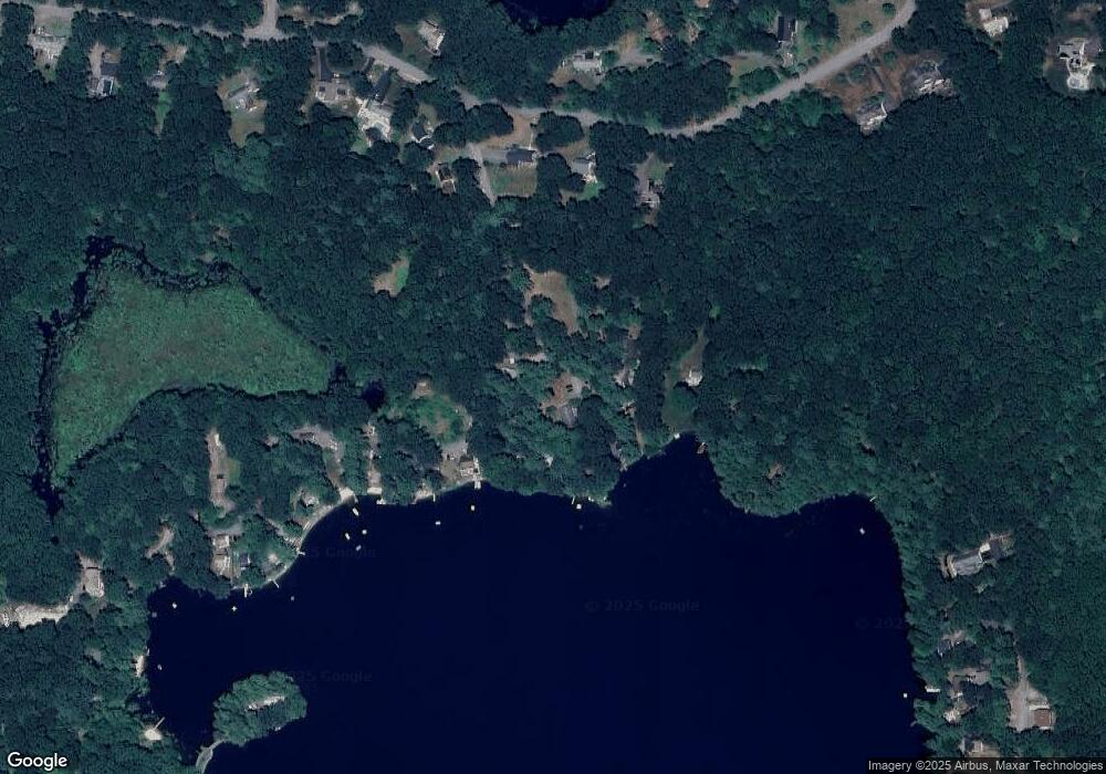
Map
Nearby Homes
- 7 Lawson Ave
- 0 Windsor Rd
- 35 Mcgovern Blvd
- 12 Meditation Ln Unit 12
- 44 Fire Road 12
- 1497 Lunenburg Rd
- 65 Farm Hill Rd
- 437 Johnny Appleseed Ln
- 36 Sunrise Ave
- 4 Davis St
- 120 Robbs Hill Rd
- 25 Front St
- 10 Nashua St
- 11 Ambrose Way Unit 9
- 43 Ambrose Way Unit 43
- 10 Ambrose Way Unit 10
- 31 Ambrose Way Unit 31
- 34 Ambrose Way Unit 34
- 12 Ambrose Way Unit 12
- 6 Ambrose Way Unit 3
Your Personal Tour Guide
Ask me questions while you tour the home.