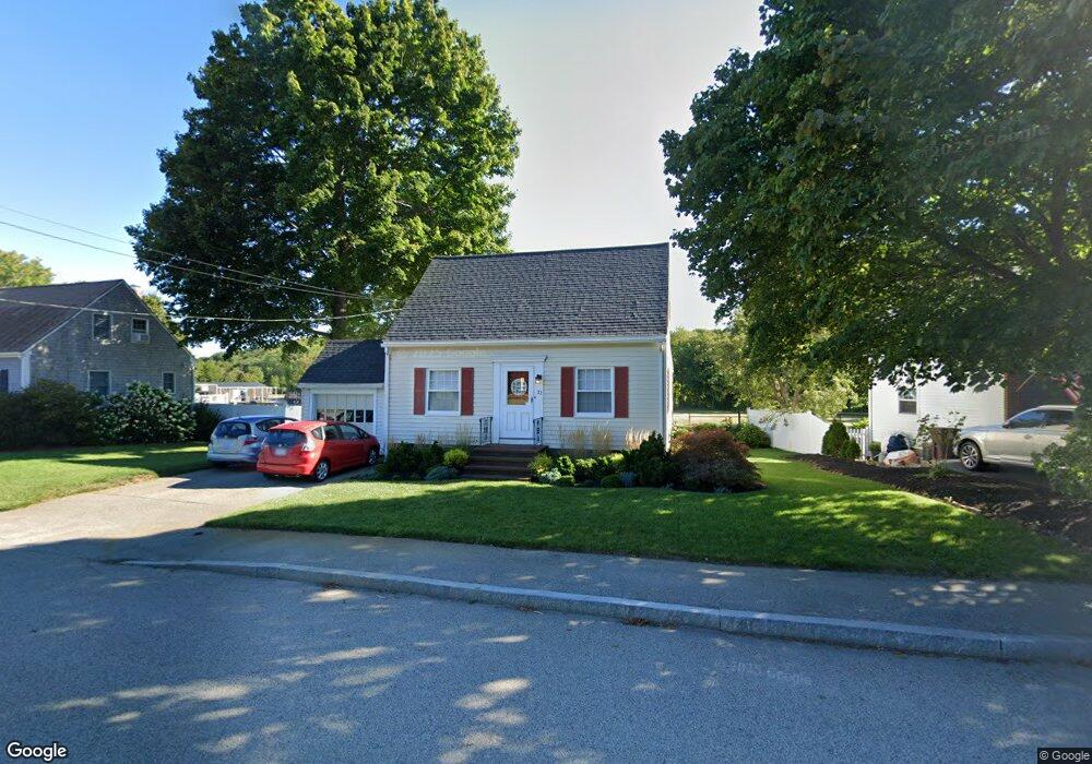
21 Pilgrim Rd North Weymouth, MA 02191
North Weymouth NeighborhoodEstimated Value: $454,000 - $714,000
3
Beds
1
Bath
1,320
Sq Ft
$444/Sq Ft
Est. Value
About This Home
This home is located at 21 Pilgrim Rd, North Weymouth, MA 02191 and is currently estimated at $585,889, approximately $443 per square foot. 21 Pilgrim Rd is a home located in Norfolk County with nearby schools including Wessagusset Elementary School, Abigail Adams Middle School, and Weymouth Middle School Chapman.
Ownership History
Date
Name
Owned For
Owner Type
Purchase Details
Closed on
Jun 8, 2009
Sold by
Dorman Nt
Bought by
Lyle Stephen T and Lyle Cindy G
Current Estimated Value
Home Financials for this Owner
Home Financials are based on the most recent Mortgage that was taken out on this home.
Original Mortgage
$212,000
Outstanding Balance
$134,377
Interest Rate
4.83%
Mortgage Type
Purchase Money Mortgage
Estimated Equity
$451,512
Create a Home Valuation Report for This Property
The Home Valuation Report is an in-depth analysis detailing your home's value as well as a comparison with similar homes in the area
Home Values in the Area
Average Home Value in this Area
Purchase History
| Date | Buyer | Sale Price | Title Company |
|---|---|---|---|
| Lyle Stephen T | $265,000 | -- |
Source: Public Records
Mortgage History
| Date | Status | Borrower | Loan Amount |
|---|---|---|---|
| Open | Lyle Stephen T | $212,000 |
Source: Public Records
Tax History Compared to Growth
Tax History
| Year | Tax Paid | Tax Assessment Tax Assessment Total Assessment is a certain percentage of the fair market value that is determined by local assessors to be the total taxable value of land and additions on the property. | Land | Improvement |
|---|---|---|---|---|
| 2025 | $4,864 | $481,600 | $211,300 | $270,300 |
| 2024 | $4,710 | $458,600 | $201,200 | $257,400 |
| 2023 | $4,438 | $424,700 | $186,300 | $238,400 |
| 2022 | $4,334 | $378,200 | $172,500 | $205,700 |
| 2021 | $4,051 | $345,100 | $172,500 | $172,600 |
| 2020 | $3,841 | $322,200 | $172,500 | $149,700 |
| 2019 | $3,748 | $309,200 | $165,900 | $143,300 |
| 2018 | $3,635 | $290,800 | $158,000 | $132,800 |
| 2017 | $3,461 | $270,200 | $143,700 | $126,500 |
| 2016 | $3,325 | $259,800 | $138,100 | $121,700 |
| 2015 | $3,124 | $242,200 | $131,500 | $110,700 |
| 2014 | $2,939 | $221,000 | $122,400 | $98,600 |
Source: Public Records
Map
Nearby Homes
- 21 Athens St Unit 11
- 14 Pequot Rd
- 41 Pecksuot Rd
- 16 Howard St
- 29 Wituwamat Rd
- 137 Wessagussett Rd
- 151 Wessagussett Rd
- 159 Wessagussett Rd
- 43 Standish St
- 69 Great Hill Dr
- 95 Fuller Rd
- 28 Birchbrow Ave
- 65 Saning Rd
- 104 Kings Cove Beach Rd
- 51 Beals St Unit 53
- 59 Katherine St
- 109 Merryknoll Rd
- 12 Wolcott St
- 16 Caldwell St
- 43 Flint Locke Dr