21 Point Inner Way Chilmark, MA 02535
Chilmark NeighborhoodEstimated Value: $4,571,128 - $6,798,000
4
Beds
3
Baths
2,650
Sq Ft
$2,056/Sq Ft
Est. Value
About This Home
This home is located at 21 Point Inner Way, Chilmark, MA 02535 and is currently estimated at $5,448,782, approximately $2,056 per square foot. 21 Point Inner Way is a home located in Dukes County with nearby schools including Martha's Vineyard Regional High School.
Ownership History
Date
Name
Owned For
Owner Type
Purchase Details
Closed on
Oct 14, 2005
Sold by
Point Inner Way Rt and Charren Stanley
Bought by
Point Inner T Llc
Current Estimated Value
Home Financials for this Owner
Home Financials are based on the most recent Mortgage that was taken out on this home.
Original Mortgage
$6,000,000
Outstanding Balance
$3,215,523
Interest Rate
5.78%
Mortgage Type
Purchase Money Mortgage
Estimated Equity
$2,233,259
Create a Home Valuation Report for This Property
The Home Valuation Report is an in-depth analysis detailing your home's value as well as a comparison with similar homes in the area
Home Values in the Area
Average Home Value in this Area
Purchase History
| Date | Buyer | Sale Price | Title Company |
|---|---|---|---|
| Point Inner T Llc | $7,500,000 | -- |
Source: Public Records
Mortgage History
| Date | Status | Borrower | Loan Amount |
|---|---|---|---|
| Open | Point Inner T Llc | $6,000,000 |
Source: Public Records
Tax History Compared to Growth
Tax History
| Year | Tax Paid | Tax Assessment Tax Assessment Total Assessment is a certain percentage of the fair market value that is determined by local assessors to be the total taxable value of land and additions on the property. | Land | Improvement |
|---|---|---|---|---|
| 2025 | $14,472 | $6,431,900 | $4,779,600 | $1,652,300 |
| 2024 | $13,207 | $6,229,900 | $4,626,800 | $1,603,100 |
| 2023 | $12,631 | $4,802,700 | $3,558,800 | $1,243,900 |
| 2022 | $13,022 | $4,617,900 | $3,558,800 | $1,059,100 |
| 2021 | $13,097 | $4,500,600 | $3,558,800 | $941,800 |
| 2020 | $12,653 | $4,424,300 | $3,489,100 | $935,200 |
| 2019 | $12,566 | $4,363,300 | $3,489,100 | $874,200 |
| 2018 | $11,999 | $4,363,300 | $3,489,100 | $874,200 |
| 2017 | $11,674 | $4,356,000 | $3,488,900 | $867,100 |
| 2016 | $11,785 | $4,348,800 | $3,488,900 | $859,900 |
| 2015 | $11,463 | $4,358,500 | $3,488,900 | $869,600 |
| 2014 | $12,101 | $4,879,300 | $4,173,700 | $705,600 |
Source: Public Records
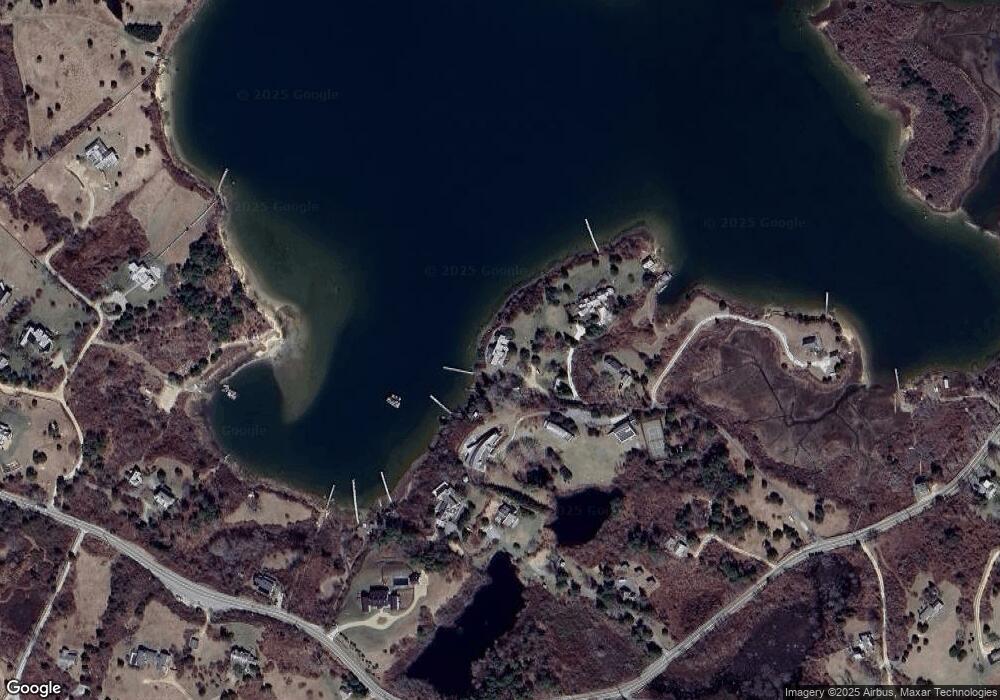
Map
Nearby Homes
- 11 Greenhouse Ln
- 131 State Rd
- 20 Eliot Ave
- 16 Shotnaigher Ln
- 64 Squibnocket Farm Rd
- 4 Cedar Ln Unit 2.2
- 18 Spruce Gate Rd
- 7 Clay Pit Ln
- 9 Moshup Trail
- 34 Edys Island Way
- 14 Ridge Rd Unit 94
- 654 Lighthouse Rd
- 12 Lobsterville Rd
- 6 Church St
- 453 Lighthouse Rd
- 18 Homeward Way
- 00 Oxcart Rd Unit 28
- 393 Lighthouse Rd
- 382 Lighthouse Rd
- 370 Lighthouse Rd
- 20 Point Inner Way
- 18 Point Inner Way
- 19 Point Inner Way
- 18 Inner Point Way
- 183 State Rd
- 8 Chesters Hill
- 199 State Rd
- 205 State Rd
- 11 Clam Point Cove Rd
- 1 Clam Point Cove Rd
- 5 Red Valley Rd
- 3 Clam Point Cove Rd
- 165 State Rd
- 15 Clam Point Cove Rd
- 15 Red Valley Rd
- 8 Clam Point Cove Rd
- 8 Clam Point Cove Rd-Bunkhouse
- 1 Quitsa Ln
- 188 State Rd
- 4 Quitsa Ln