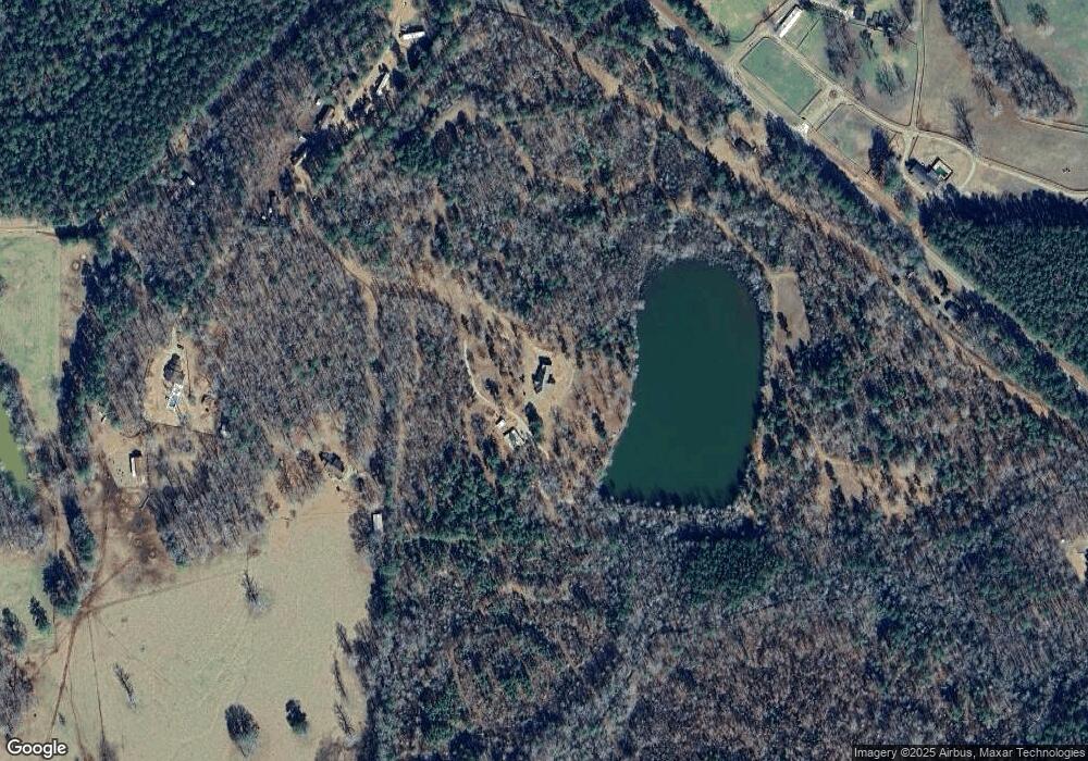
21 Poole Rd Lagrange, GA 30240
Estimated Value: $406,000 - $429,441
2
Beds
2
Baths
2,291
Sq Ft
$182/Sq Ft
Est. Value
About This Home
This home is located at 21 Poole Rd, Lagrange, GA 30240 and is currently estimated at $417,721, approximately $182 per square foot. 21 Poole Rd is a home with nearby schools including Hillcrest Elementary School, Franklin Forest Elementary School, and Hollis Hand Elementary School.
Ownership History
Date
Name
Owned For
Owner Type
Purchase Details
Closed on
Jul 30, 2002
Sold by
Harvey Wilson Hubbard
Bought by
Woodham Frances H Etal
Current Estimated Value
Purchase Details
Closed on
Jun 1, 1987
Bought by
Harvey Wilson Hubbard
Purchase Details
Closed on
Jun 1, 1986
Purchase Details
Closed on
Jan 1, 1971
Purchase Details
Closed on
Dec 1, 1950
Purchase Details
Closed on
Jan 1, 1950
Create a Home Valuation Report for This Property
The Home Valuation Report is an in-depth analysis detailing your home's value as well as a comparison with similar homes in the area
Purchase History
| Date | Buyer | Sale Price | Title Company |
|---|---|---|---|
| Woodham Frances H Etal | -- | -- | |
| Harvey Wilson Hubbard | -- | -- | |
| -- | -- | -- | |
| -- | -- | -- | |
| -- | -- | -- | |
| -- | -- | -- |
Source: Public Records
Tax History
| Year | Tax Paid | Tax Assessment Tax Assessment Total Assessment is a certain percentage of the fair market value that is determined by local assessors to be the total taxable value of land and additions on the property. | Land | Improvement |
|---|---|---|---|---|
| 2025 | $3,497 | $159,400 | $11,880 | $147,520 |
| 2024 | $3,497 | $130,200 | $11,880 | $118,320 |
| 2023 | $3,447 | $128,360 | $11,880 | $116,480 |
| 2022 | $3,312 | $120,640 | $10,680 | $109,960 |
| 2021 | $3,613 | $121,800 | $10,680 | $111,120 |
| 2020 | $3,673 | $121,800 | $10,680 | $111,120 |
| 2019 | $3,704 | $122,800 | $11,280 | $111,520 |
| 2018 | $3,558 | $117,960 | $11,280 | $106,680 |
| 2017 | $3,219 | $106,720 | $11,280 | $95,440 |
| 2016 | $3,076 | $101,973 | $11,305 | $90,668 |
| 2015 | $3,081 | $101,973 | $11,305 | $90,668 |
| 2014 | $3,077 | $101,671 | $10,710 | $90,961 |
| 2013 | -- | $112,762 | $14,000 | $98,762 |
Source: Public Records
Map
Nearby Homes
- 223 Village Dr
- 206 Sturbridge Dr
- 57 Hubbard Rd
- 111 Copper Creek Dr
- 1006 Wares Cross Rd
- 102 Plantation Ct
- 107 Cameron Pointe Dr
- 0 River Club Dr Unit 10311961
- 219 E Yorktown Dr
- 348 Willow Pointe Dr
- 300 Willow Pointe Dr
- 302 Willow Pointe Dr
- 56 Firefly Run
- 116 Firefly Run
- 110 Firefly Run
- 96 Firefly Run
- 14 Firefly Run
- 5 Firefly Run
- 178 Wolf Creek Cove
- 1206 the Reserve
- 107 Poole Rd
- 3523 Mooty Bridge Rd
- 101 Poole Rd
- 111 Poole Rd
- 3499 Mooty Bridge Rd
- 3475 Mooty Bridge Rd
- 3508 Mooty Bridge Rd
- 3562 Mooty Bridge Rd
- 3586 Mooty Bridge Rd
- 3570 Mooty Bridge Rd
- 3401 Mooty Bridge Rd
- 3720 Mooty Bridge Rd
- 3700 Mooty Bridge Rd
- 3370 Mooty Bridge Rd
- 3267 Mooty Bridge Rd
- 3786 Mooty Bridge Rd
- 3177 Cameron Mill Rd
- 3295 Mooty Bridge Rd
- 3816 Mooty Bridge Rd
- 3838 Mooty Bridge Rd Unit 3816
