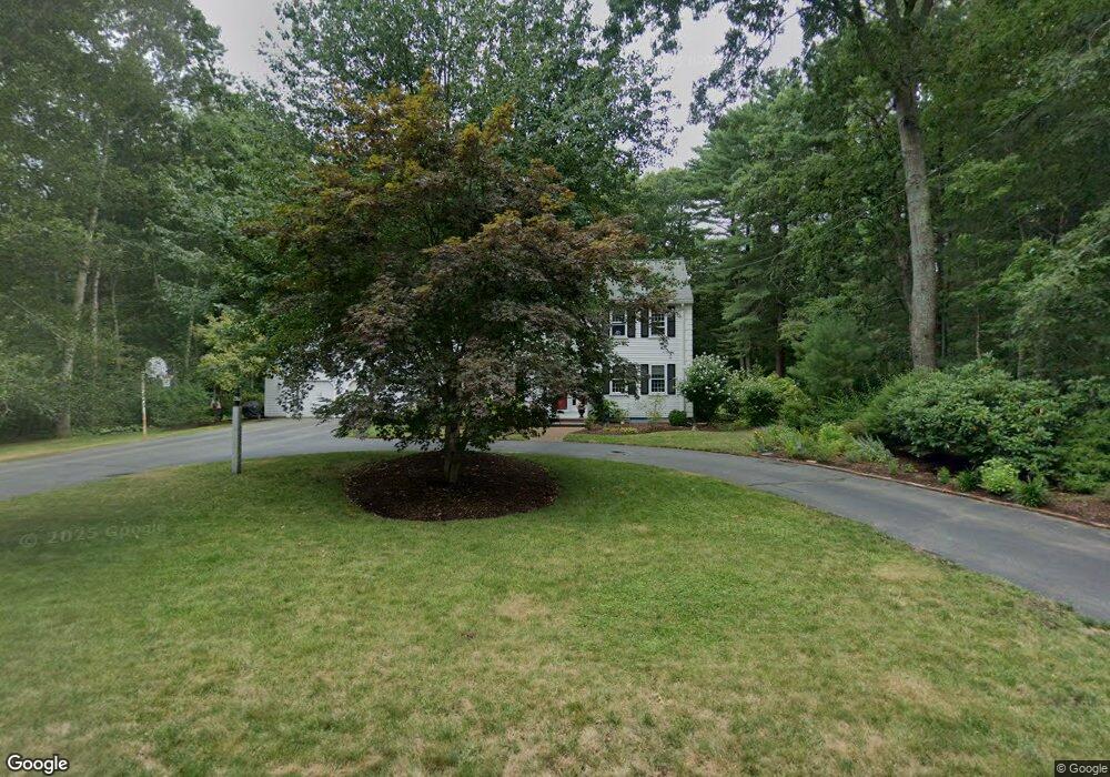
21 Post Dr Hanover, MA 02339
Estimated Value: $923,000 - $1,179,000
5
Beds
3
Baths
2,892
Sq Ft
$363/Sq Ft
Est. Value
About This Home
This home is located at 21 Post Dr, Hanover, MA 02339 and is currently estimated at $1,050,821, approximately $363 per square foot. 21 Post Dr is a home located in Plymouth County with nearby schools including Hanover High School, Cadence Academy Preschool - Hanover, and The Master's Academy.
Ownership History
Date
Name
Owned For
Owner Type
Purchase Details
Closed on
Jun 18, 2004
Sold by
Mcdonough Walter I and Mcdonough Janet E
Bought by
Little-Gill Gavin and Curtis Kaela M
Current Estimated Value
Home Financials for this Owner
Home Financials are based on the most recent Mortgage that was taken out on this home.
Original Mortgage
$335,850
Outstanding Balance
$164,300
Interest Rate
6.12%
Mortgage Type
Purchase Money Mortgage
Estimated Equity
$886,521
Create a Home Valuation Report for This Property
The Home Valuation Report is an in-depth analysis detailing your home's value as well as a comparison with similar homes in the area
Home Values in the Area
Average Home Value in this Area
Purchase History
| Date | Buyer | Sale Price | Title Company |
|---|---|---|---|
| Little-Gill Gavin | $614,000 | -- |
Source: Public Records
Mortgage History
| Date | Status | Borrower | Loan Amount |
|---|---|---|---|
| Open | Little-Gill Gavin | $335,850 | |
| Closed | Little-Gill Gavin | $150,000 | |
| Previous Owner | Little-Gill Gavin | $34,000 |
Source: Public Records
Tax History Compared to Growth
Tax History
| Year | Tax Paid | Tax Assessment Tax Assessment Total Assessment is a certain percentage of the fair market value that is determined by local assessors to be the total taxable value of land and additions on the property. | Land | Improvement |
|---|---|---|---|---|
| 2025 | $11,868 | $961,000 | $335,700 | $625,300 |
| 2024 | $11,555 | $899,900 | $335,700 | $564,200 |
| 2023 | $11,286 | $836,600 | $305,400 | $531,200 |
| 2022 | $10,908 | $715,300 | $267,200 | $448,100 |
| 2021 | $10,729 | $657,000 | $243,000 | $414,000 |
| 2020 | $10,414 | $638,500 | $243,000 | $395,500 |
| 2019 | $10,240 | $624,000 | $254,500 | $369,500 |
| 2018 | $9,871 | $606,300 | $266,100 | $340,200 |
| 2017 | $9,762 | $590,900 | $258,300 | $332,600 |
| 2016 | $9,438 | $559,800 | $234,800 | $325,000 |
| 2015 | $9,041 | $559,800 | $234,800 | $325,000 |
Source: Public Records
Map
Nearby Homes
- 62 Larchmont Ln
- 116 Spring Meadow Ln
- 8 Old Farm Rd
- 265 Silver St
- 53 Chestnut St
- 118 Bates Way
- 14 Longwood Ln Unit 14
- 70 Dillingham Way
- 250 Center St
- 51 Cervelli Farm Dr
- 37 Dr
- 23 Cervelli Farm Dr
- 38 Cervelli Farm Dr
- 9 Cervelli Farm Dr
- 276 Woodland Dr
- 436 Center St
- 21 King St
- 67 School St
- 216 Whiting St
- 375 Webster St