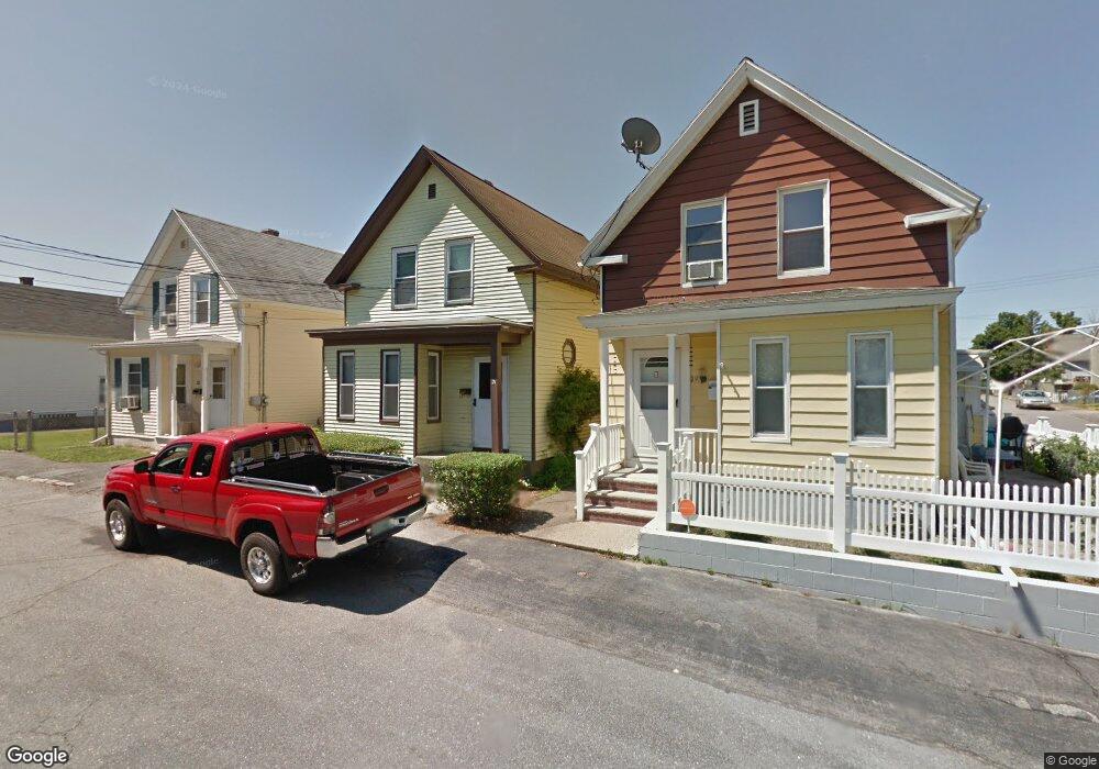
21 Potter St Lowell, MA 01852
Sacred Heart NeighborhoodEstimated Value: $387,000 - $416,000
2
Beds
1
Bath
1,103
Sq Ft
$362/Sq Ft
Est. Value
About This Home
This home is located at 21 Potter St, Lowell, MA 01852 and is currently estimated at $399,297, approximately $362 per square foot. 21 Potter St is a home located in Middlesex County with nearby schools including Moody Elementary School, Abraham Lincoln Elementary School, and Greenhalge Elementary School.
Ownership History
Date
Name
Owned For
Owner Type
Purchase Details
Closed on
Aug 18, 2020
Sold by
Allen Michael E and Allen Suzanne M
Bought by
Allen Kevin M and Allen Christopher W
Current Estimated Value
Home Financials for this Owner
Home Financials are based on the most recent Mortgage that was taken out on this home.
Original Mortgage
$188,000
Outstanding Balance
$166,144
Interest Rate
2.8%
Mortgage Type
New Conventional
Estimated Equity
$233,153
Purchase Details
Closed on
Jan 30, 2020
Sold by
Carroll Daniel W
Bought by
Allen Michael E and Allen Suzanne M
Purchase Details
Closed on
Jun 13, 1972
Bought by
Carroll Daniel W and Carroll Ruth
Create a Home Valuation Report for This Property
The Home Valuation Report is an in-depth analysis detailing your home's value as well as a comparison with similar homes in the area
Home Values in the Area
Average Home Value in this Area
Purchase History
| Date | Buyer | Sale Price | Title Company |
|---|---|---|---|
| Allen Kevin M | $235,000 | None Available | |
| Allen Michael E | $75,000 | None Available | |
| Carroll Daniel W | $17,500 | -- |
Source: Public Records
Mortgage History
| Date | Status | Borrower | Loan Amount |
|---|---|---|---|
| Open | Allen Kevin M | $188,000 | |
| Previous Owner | Carroll Daniel W | $20,000 |
Source: Public Records
Tax History Compared to Growth
Tax History
| Year | Tax Paid | Tax Assessment Tax Assessment Total Assessment is a certain percentage of the fair market value that is determined by local assessors to be the total taxable value of land and additions on the property. | Land | Improvement |
|---|---|---|---|---|
| 2025 | $3,865 | $336,700 | $113,200 | $223,500 |
| 2024 | $3,771 | $316,600 | $105,800 | $210,800 |
| 2023 | $3,551 | $285,900 | $92,000 | $193,900 |
| 2022 | $3,197 | $251,900 | $83,700 | $168,200 |
| 2021 | $2,979 | $221,300 | $72,700 | $148,600 |
| 2020 | $2,811 | $210,400 | $69,200 | $141,200 |
| 2019 | $2,463 | $175,400 | $64,000 | $111,400 |
| 2018 | $2,407 | $167,300 | $61,000 | $106,300 |
| 2017 | $2,347 | $157,300 | $55,500 | $101,800 |
| 2016 | $2,147 | $141,600 | $48,500 | $93,100 |
| 2015 | $2,006 | $129,600 | $48,500 | $81,100 |
| 2013 | $1,906 | $127,000 | $54,100 | $72,900 |
Source: Public Records
Map
Nearby Homes
- 58 Fay St Unit 2
- 106 Lundberg St Unit 6
- 197 Moore St
- 433 Lincoln St
- 5 Lenox St Unit 2
- 157 Billerica St
- 15 Carter Ave
- 64 S Whipple St
- 59 Boston Rd
- 131 London St
- 59 Livingston St
- 41 Devine Ave
- 45 Woburn St
- 10 Mission Place
- 1508 Gorham St Unit 101
- 79 Eugene St
- 1514 Gorham St Unit 5
- 1514 Gorham St Unit 4
- 1514 Gorham St Unit 3
- 1514 Gorham St Unit 2
- 19 Potter St
- 23 Potter St
- 22 Oconnell St
- 24 Oconnell St
- 24 O'Connell St
- 28 Oconnell St
- 28 O'Connell St Unit 28
- 31 Potter St
- 34 Oconnell St
- 35 Potter St
- 94 Lundberg St
- 65 Fay St
- 65 Fay St Unit 65 Fay st. Floor 1
- 65 Fay St Unit 65 Fay st. Floor 2
- 74 Fay St
- 36 Oconnell St
- 64 Lundberg St
- 64 Fay St
- 59 Fay St
- 106 Lundberg St Unit 10