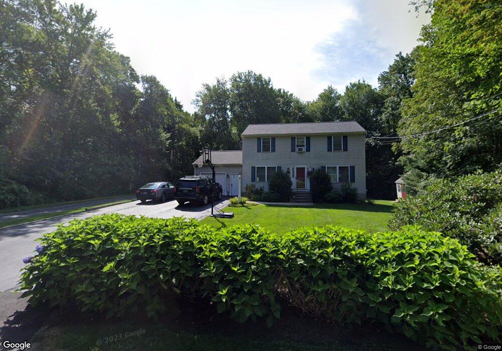
21 Pound Rd Cumberland, RI 02864
Cumberland Hill NeighborhoodEstimated Value: $597,629 - $704,000
3
Beds
2
Baths
2,232
Sq Ft
$294/Sq Ft
Est. Value
About This Home
This home is located at 21 Pound Rd, Cumberland, RI 02864 and is currently estimated at $655,657, approximately $293 per square foot. 21 Pound Rd is a home located in Providence County with nearby schools including Community School, North Cumberland Middle School, and Cumberland High School.
Ownership History
Date
Name
Owned For
Owner Type
Purchase Details
Closed on
Mar 9, 2001
Sold by
Delaney Philip G and Delaney Donna J
Bought by
Parkinson Robert G and Parkinson Linda V
Current Estimated Value
Purchase Details
Closed on
Nov 18, 1996
Sold by
Mckee James C
Bought by
Delaney Philip G and Delaney Donna
Create a Home Valuation Report for This Property
The Home Valuation Report is an in-depth analysis detailing your home's value as well as a comparison with similar homes in the area
Home Values in the Area
Average Home Value in this Area
Purchase History
| Date | Buyer | Sale Price | Title Company |
|---|---|---|---|
| Parkinson Robert G | $260,000 | -- | |
| Delaney Philip G | $146,000 | -- |
Source: Public Records
Mortgage History
| Date | Status | Borrower | Loan Amount |
|---|---|---|---|
| Open | Delaney Philip G | $60,000 | |
| Open | Delaney Philip G | $210,000 | |
| Closed | Delaney Philip G | $237,000 |
Source: Public Records
Tax History
| Year | Tax Paid | Tax Assessment Tax Assessment Total Assessment is a certain percentage of the fair market value that is determined by local assessors to be the total taxable value of land and additions on the property. | Land | Improvement |
|---|---|---|---|---|
| 2025 | $5,358 | $436,700 | $182,900 | $253,800 |
| 2024 | $5,219 | $436,700 | $182,900 | $253,800 |
| 2023 | $5,074 | $436,700 | $182,900 | $253,800 |
| 2022 | $5,191 | $346,300 | $141,900 | $204,400 |
| 2021 | $5,104 | $346,300 | $141,900 | $204,400 |
| 2020 | $4,959 | $346,300 | $141,900 | $204,400 |
| 2019 | $4,915 | $309,500 | $129,300 | $180,200 |
| 2018 | $4,772 | $309,500 | $129,300 | $180,200 |
| 2017 | $4,682 | $307,800 | $129,300 | $178,500 |
| 2016 | $5,124 | $300,000 | $131,600 | $168,400 |
| 2015 | $5,124 | $300,000 | $131,600 | $168,400 |
| 2014 | $5,124 | $300,000 | $131,600 | $168,400 |
| 2013 | $5,010 | $317,500 | $134,200 | $183,300 |
Source: Public Records
Map
Nearby Homes
- 2970 Mendon Rd Unit 149
- 2970 Mendon Rd Unit 187
- 6 New Clark Rd
- 54 Sulyma St
- 40 Heroux Blvd
- 48 Nate Whipple Hwy
- 94 Kay St
- 200 Manville Hill Unit 41 Bldg B Rd Unit 41
- 20 Mount Pleasant View Ave
- 40 Forestdale Dr
- 131 New River Rd
- 400 New River Rd Unit 311
- 3 Lise Dr
- 1302 Hunting Hill Dr
- 2 School St Unit 223
- 61 School St Unit 1
- 1504 Hunting Hill Dr
- 1502 Hunting Hill Dr
- 1503 Hunting Hill Dr
- 1501 Hunting Hill Dr
Your Personal Tour Guide
Ask me questions while you tour the home.