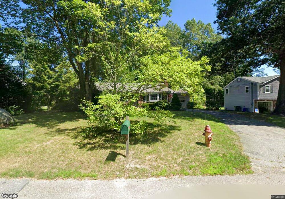
21 Pridemark Ln Attleboro, MA 02703
Estimated Value: $499,000 - $569,000
2
Beds
1
Bath
1,340
Sq Ft
$395/Sq Ft
Est. Value
About This Home
This home is located at 21 Pridemark Ln, Attleboro, MA 02703 and is currently estimated at $528,772, approximately $394 per square foot. 21 Pridemark Ln is a home located in Bristol County with nearby schools including Thomas E. Willett School, Cyril K. Brennan Middle School, and Attleboro High School.
Ownership History
Date
Name
Owned For
Owner Type
Purchase Details
Closed on
Oct 29, 2008
Sold by
Lithway Randal B and Lithway Tanya L
Bought by
Lithway Tanya L
Current Estimated Value
Home Financials for this Owner
Home Financials are based on the most recent Mortgage that was taken out on this home.
Original Mortgage
$253,125
Outstanding Balance
$164,091
Interest Rate
5.83%
Mortgage Type
Purchase Money Mortgage
Estimated Equity
$364,681
Create a Home Valuation Report for This Property
The Home Valuation Report is an in-depth analysis detailing your home's value as well as a comparison with similar homes in the area
Home Values in the Area
Average Home Value in this Area
Purchase History
| Date | Buyer | Sale Price | Title Company |
|---|---|---|---|
| Lithway Tanya L | -- | -- |
Source: Public Records
Mortgage History
| Date | Status | Borrower | Loan Amount |
|---|---|---|---|
| Open | Lithway Tanya L | $253,125 |
Source: Public Records
Tax History
| Year | Tax Paid | Tax Assessment Tax Assessment Total Assessment is a certain percentage of the fair market value that is determined by local assessors to be the total taxable value of land and additions on the property. | Land | Improvement |
|---|---|---|---|---|
| 2025 | $5,236 | $417,200 | $167,500 | $249,700 |
| 2024 | $4,863 | $382,000 | $150,800 | $231,200 |
| 2023 | $4,815 | $351,700 | $152,400 | $199,300 |
| 2022 | $4,633 | $320,600 | $145,200 | $175,400 |
| 2021 | $4,301 | $290,600 | $139,800 | $150,800 |
| 2020 | $4,138 | $284,200 | $133,500 | $150,700 |
| 2019 | $3,952 | $279,100 | $130,900 | $148,200 |
| 2018 | $3,874 | $261,400 | $127,200 | $134,200 |
| 2017 | $3,562 | $244,800 | $123,900 | $120,900 |
| 2016 | $3,305 | $223,000 | $115,700 | $107,300 |
| 2015 | $3,302 | $224,500 | $115,700 | $108,800 |
| 2014 | $3,084 | $207,700 | $110,600 | $97,100 |
Source: Public Records
Map
Nearby Homes
- 49 Pheasant Hill Rd
- 150 Gilbert St
- 451R Gilbert St
- 115 Westfield Dr
- 71 Richardson Ave
- 14 Claire Ave
- 345 Richardson Ave
- 150 John L Dietsch Blvd
- 57 Vine St
- 85 Jewell St
- 2 Oak St Unit 2B
- 747 N Main St
- 25 Munroe Dr
- 19 Quincy Way
- 44 Surrey Dr
- 10 Walter St
- 10 Hazelwood Ct
- 24 Maverick Dr
- Lot 2 Jeffrey Dr
- 59 Laurelwood Dr
Your Personal Tour Guide
Ask me questions while you tour the home.