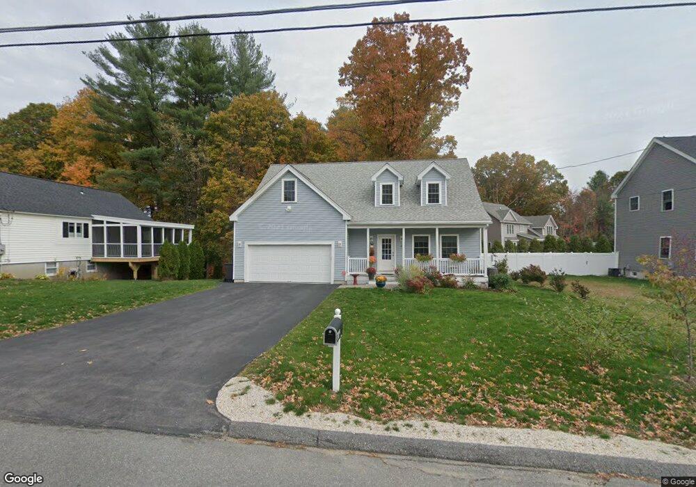
21 Priest St Hudson, MA 01749
Estimated Value: $720,000 - $814,000
3
Beds
3
Baths
1,953
Sq Ft
$392/Sq Ft
Est. Value
About This Home
This home is located at 21 Priest St, Hudson, MA 01749 and is currently estimated at $765,680, approximately $392 per square foot. 21 Priest St is a home with nearby schools including David J. Quinn Middle School, Hudson High School, and First Steps Children's Center.
Ownership History
Date
Name
Owned For
Owner Type
Purchase Details
Closed on
Jul 29, 2016
Sold by
Lincoln Realty Llc
Bought by
21 Priest Street Rt and Mcnulty
Current Estimated Value
Home Financials for this Owner
Home Financials are based on the most recent Mortgage that was taken out on this home.
Original Mortgage
$332,000
Outstanding Balance
$260,358
Interest Rate
3.54%
Mortgage Type
New Conventional
Estimated Equity
$505,322
Create a Home Valuation Report for This Property
The Home Valuation Report is an in-depth analysis detailing your home's value as well as a comparison with similar homes in the area
Home Values in the Area
Average Home Value in this Area
Purchase History
| Date | Buyer | Sale Price | Title Company |
|---|---|---|---|
| 21 Priest Street Rt | $415,000 | -- | |
| 21 Priest Street Rt | $415,000 | -- |
Source: Public Records
Mortgage History
| Date | Status | Borrower | Loan Amount |
|---|---|---|---|
| Open | 21 Priest Street Rt | $332,000 | |
| Closed | 21 Priest Street Rt | $332,000 |
Source: Public Records
Tax History
| Year | Tax Paid | Tax Assessment Tax Assessment Total Assessment is a certain percentage of the fair market value that is determined by local assessors to be the total taxable value of land and additions on the property. | Land | Improvement |
|---|---|---|---|---|
| 2025 | $10,621 | $765,200 | $212,700 | $552,500 |
| 2024 | $10,251 | $732,200 | $193,400 | $538,800 |
| 2023 | $9,205 | $630,500 | $186,000 | $444,500 |
| 2022 | $8,813 | $555,700 | $169,100 | $386,600 |
| 2021 | $4,922 | $507,400 | $161,200 | $346,200 |
| 2020 | $9,458 | $569,400 | $157,900 | $411,500 |
| 2019 | $6,875 | $517,000 | $157,900 | $359,100 |
| 2018 | $9,833 | $561,900 | $150,300 | $411,600 |
| 2017 | $8,664 | $495,100 | $143,200 | $351,900 |
Source: Public Records
Map
Nearby Homes
- 1 Glendale Rd
- 10 Cedar St
- 29 Grove St Unit B
- 200 Manning St Unit 2B
- 200 Manning St Unit 6B
- 21 Felton St
- 17 Mason St
- 25 Richard Rd
- 17 School St Unit A
- 17 School St Unit C
- 107 Apsley St
- 278 Manning St Unit 904
- 59 Washington St
- 4 Autumn Dr Unit B
- 56 Park St
- 110 River St
- 155 Brook St
- 451 Gleasondale Rd
- 0 Washington St
- 9 Rebecca Ave
Your Personal Tour Guide
Ask me questions while you tour the home.