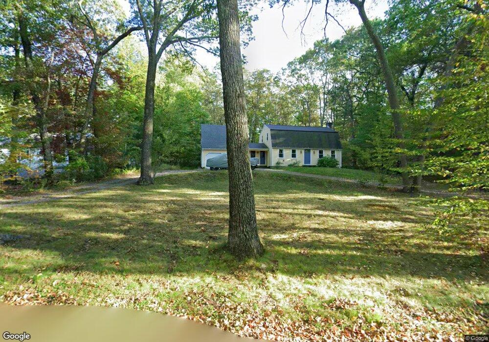
21 Quaker Ln Bolton, MA 01740
Estimated Value: $684,932 - $715,000
4
Beds
2
Baths
2,114
Sq Ft
$331/Sq Ft
Est. Value
About This Home
This home is located at 21 Quaker Ln, Bolton, MA 01740 and is currently estimated at $700,483, approximately $331 per square foot. 21 Quaker Ln is a home located in Worcester County with nearby schools including Florence Sawyer School, Nashoba Regional High School, and Darnell School For Educational & Behavioral Service.
Ownership History
Date
Name
Owned For
Owner Type
Purchase Details
Closed on
Feb 15, 2011
Sold by
Crotty James M and Crotty Heli S
Bought by
Crotty Heli S
Current Estimated Value
Home Financials for this Owner
Home Financials are based on the most recent Mortgage that was taken out on this home.
Original Mortgage
$232,500
Outstanding Balance
$159,848
Interest Rate
4.88%
Mortgage Type
Purchase Money Mortgage
Estimated Equity
$540,635
Purchase Details
Closed on
Sep 4, 2001
Sold by
Macleod Ruth Ann
Bought by
Crotty James M and Crotty Heli S
Home Financials for this Owner
Home Financials are based on the most recent Mortgage that was taken out on this home.
Original Mortgage
$274,250
Interest Rate
7.06%
Mortgage Type
Purchase Money Mortgage
Create a Home Valuation Report for This Property
The Home Valuation Report is an in-depth analysis detailing your home's value as well as a comparison with similar homes in the area
Home Values in the Area
Average Home Value in this Area
Purchase History
| Date | Buyer | Sale Price | Title Company |
|---|---|---|---|
| Crotty Heli S | -- | -- | |
| Crotty James M | $315,000 | -- |
Source: Public Records
Mortgage History
| Date | Status | Borrower | Loan Amount |
|---|---|---|---|
| Open | Crotty Heli S | $232,500 | |
| Previous Owner | Crotty James M | $291,000 | |
| Previous Owner | Crotty James M | $296,000 | |
| Previous Owner | Crotty James M | $274,250 |
Source: Public Records
Tax History Compared to Growth
Tax History
| Year | Tax Paid | Tax Assessment Tax Assessment Total Assessment is a certain percentage of the fair market value that is determined by local assessors to be the total taxable value of land and additions on the property. | Land | Improvement |
|---|---|---|---|---|
| 2025 | $8,637 | $519,700 | $192,200 | $327,500 |
| 2024 | $7,795 | $479,400 | $177,500 | $301,900 |
| 2023 | $7,667 | $438,100 | $177,500 | $260,600 |
| 2022 | $7,487 | $376,800 | $167,700 | $209,100 |
| 2021 | $7,524 | $360,700 | $167,700 | $193,000 |
| 2020 | $7,338 | $359,900 | $167,400 | $192,500 |
| 2019 | $7,019 | $342,900 | $162,600 | $180,300 |
| 2018 | $7,010 | $339,300 | $157,900 | $181,400 |
| 2017 | $6,805 | $321,000 | $153,100 | $167,900 |
| 2016 | $6,505 | $311,100 | $143,500 | $167,600 |
| 2015 | $6,273 | $299,000 | $133,900 | $165,100 |
| 2014 | $6,451 | $304,300 | $148,300 | $156,000 |
Source: Public Records
Map
Nearby Homes
- 0 Mill Pond Rd Unit 73442819
- 339 Old Central St
- 315 Central St
- 146 Randall Rd
- 57 Sunset Ridge Ln Unit 57
- 56 Century Mill Rd
- 27 Laurel Dr
- 223 Central St
- 3 Highland Park Ave
- 720 Main St
- 0 Wattaquadock Hill Rd
- 152 Coburn Rd
- 54 Main St
- 167 Lancaster Rd
- 1A Sanders Ln
- 6A Sanders Ln
- 11 Mallard Ln Unit 8
- 1 Mallard Ln Unit 1
- 98 Coburn Rd
- 11 Bigelow Dr Unit 11