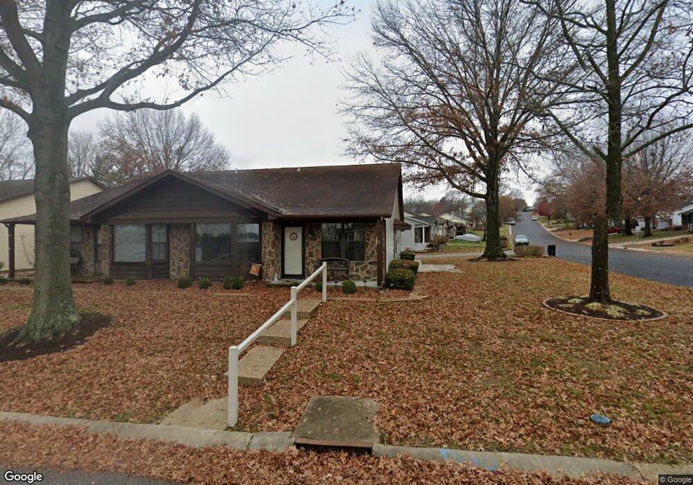
21 Rabbit Trail Dr Washington, MO 63090
Estimated Value: $190,000 - $232,000
2
Beds
2
Baths
1,192
Sq Ft
$170/Sq Ft
Est. Value
About This Home
This home is located at 21 Rabbit Trail Dr, Washington, MO 63090 and is currently estimated at $202,804, approximately $170 per square foot. 21 Rabbit Trail Dr is a home located in Franklin County with nearby schools including Washington High School, Our Lady of Lourdes Catholic School, and St. Francis Borgia Catholic School.
Ownership History
Date
Name
Owned For
Owner Type
Purchase Details
Closed on
Feb 4, 2013
Sold by
Mazzocchio Joann
Bought by
Cedr Llc
Current Estimated Value
Purchase Details
Closed on
Sep 5, 2008
Sold by
Vollmer Stacy A and Bean Stacy A
Bought by
Vollmer Stacy A
Home Financials for this Owner
Home Financials are based on the most recent Mortgage that was taken out on this home.
Original Mortgage
$40,000
Interest Rate
6.6%
Mortgage Type
Construction
Purchase Details
Closed on
Apr 14, 2006
Sold by
Bollmann Janice
Bought by
Polacek Maria E
Create a Home Valuation Report for This Property
The Home Valuation Report is an in-depth analysis detailing your home's value as well as a comparison with similar homes in the area
Home Values in the Area
Average Home Value in this Area
Purchase History
| Date | Buyer | Sale Price | Title Company |
|---|---|---|---|
| Cedr Llc | $50,953 | None Available | |
| Vollmer Stacy A | -- | None Available | |
| Polacek Maria E | -- | None Available |
Source: Public Records
Mortgage History
| Date | Status | Borrower | Loan Amount |
|---|---|---|---|
| Previous Owner | Vollmer Stacy A | $40,000 |
Source: Public Records
Tax History
| Year | Tax Paid | Tax Assessment Tax Assessment Total Assessment is a certain percentage of the fair market value that is determined by local assessors to be the total taxable value of land and additions on the property. | Land | Improvement |
|---|---|---|---|---|
| 2025 | $1,146 | $20,575 | $0 | $0 |
| 2024 | $1,146 | $19,110 | $0 | $0 |
| 2023 | $1,085 | $19,110 | $0 | $0 |
| 2022 | $1,037 | $18,250 | $0 | $0 |
| 2021 | $1,034 | $18,250 | $0 | $0 |
| 2020 | $969 | $16,471 | $0 | $0 |
| 2019 | $967 | $16,471 | $0 | $0 |
| 2018 | $942 | $15,914 | $0 | $0 |
| 2017 | $940 | $15,914 | $0 | $0 |
| 2016 | $844 | $14,539 | $0 | $0 |
| 2015 | $844 | $14,539 | $0 | $0 |
| 2014 | $854 | $14,722 | $0 | $0 |
Source: Public Records
Map
Nearby Homes
- 206 Wenona Dr
- 3317 Timber Creek Dr Unit 195 STB
- 191 Timber Crest Unit 191 STB
- 3321 Timber Creek Dr Unit 196 STB
- 176 Hank's Close Ct Unit 176 STB
- 2281 Dukes Way
- 172 Hank's Close Ct Unit 172 STB
- 187 Hank's Close Ct Unit 187 STB
- 2321 Hank's Close Rd Unit 185 STB
- 167 Pellin's Unit 167 STB
- 179 Hank's Close Unit 179 STB
- 192 Timber Crest Rd Unit 192 STB
- 3313 Timber Creek Dr Unit 194 STB
- 2316 Hank's Close Unit 175 STB
- 173 Hank's Close Unit 173 STB
- 2337 Hank's Close Unit 181 STB
- 180 Hank's Close Unit 180 STB
- 154 Pellins Ct Unit 154 STB
- 177 Hank's Close Unit 177 STB
- 2328 Hank's Close Ct Unit 178 STB
- 4 Mike Alan Dr
- 2 Mike Alan Dr
- 25 Rabbit Trail Dr
- 23 Rabbit Trail Dr
- 6 Mike Alan Dr
- 8 Mike Alan Dr
- 10 Mike Alan Dr
- 12 Mike Alan Dr
- 19 Rabbit Trail Dr
- 43 Rabbit Trail Dr
- 43 Rabbit Trail Dr Unit 45
- 43 Rabbit Trail Dr Unit 43
- 41 Rabbit Trail Unit 41 cKF
- 3 Mike Alan Dr
- 47 Rabbit Trail Dr
- 49 Rabbit Trail Dr
- 5 Mike Alan Dr
- 14 Mike Alan Dr
- 16 Mike Alan Dr
Your Personal Tour Guide
Ask me questions while you tour the home.