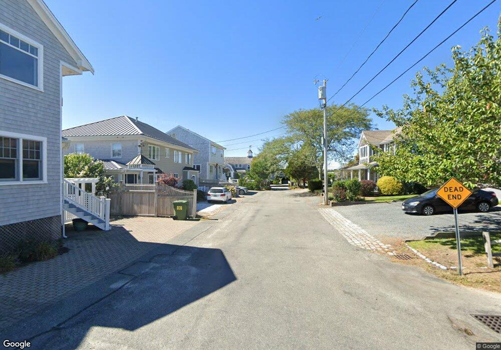
21 Railway Bluff West Yarmouth, MA 02673
West Yarmouth NeighborhoodEstimated Value: $1,841,000 - $3,609,000
6
Beds
5
Baths
3,072
Sq Ft
$883/Sq Ft
Est. Value
About This Home
This home is located at 21 Railway Bluff, West Yarmouth, MA 02673 and is currently estimated at $2,711,245, approximately $882 per square foot. 21 Railway Bluff is a home located in Barnstable County with nearby schools including Hyannis West Elementary School, Barnstable United Elementary School, and Barnstable Intermediate School.
Ownership History
Date
Name
Owned For
Owner Type
Purchase Details
Closed on
Jul 8, 2013
Sold by
Coleman Robert W
Bought by
Bmm Llc
Current Estimated Value
Purchase Details
Closed on
Apr 26, 2012
Sold by
Cape Cod Five Cents Sb
Bought by
Mbm Llc
Purchase Details
Closed on
Jul 18, 2008
Sold by
Coleman Evelyn M
Bought by
Cape Cod 5 Cents Sb and Evelyn M Coleman T
Purchase Details
Closed on
Nov 15, 2006
Sold by
Silver Wes T and Coleman Evelyn M
Bought by
Coleman Evelyn M and Coleman Robert W
Create a Home Valuation Report for This Property
The Home Valuation Report is an in-depth analysis detailing your home's value as well as a comparison with similar homes in the area
Home Values in the Area
Average Home Value in this Area
Purchase History
| Date | Buyer | Sale Price | Title Company |
|---|---|---|---|
| Bmm Llc | $588,725 | -- | |
| Mbm Llc | $766,666 | -- | |
| Cape Cod 5 Cents Sb | -- | -- | |
| Coleman Evelyn M | -- | -- |
Source: Public Records
Tax History Compared to Growth
Tax History
| Year | Tax Paid | Tax Assessment Tax Assessment Total Assessment is a certain percentage of the fair market value that is determined by local assessors to be the total taxable value of land and additions on the property. | Land | Improvement |
|---|---|---|---|---|
| 2025 | $21,167 | $2,283,400 | $1,480,000 | $803,400 |
| 2024 | $20,148 | $2,226,300 | $1,480,000 | $746,300 |
| 2023 | $17,200 | $1,797,300 | $1,165,100 | $632,200 |
| 2022 | $15,776 | $1,363,500 | $873,300 | $490,200 |
| 2021 | $16,225 | $1,362,300 | $899,000 | $463,300 |
| 2020 | $16,192 | $1,313,200 | $899,000 | $414,200 |
| 2019 | $15,400 | $1,224,200 | $822,000 | $402,200 |
| 2018 | $14,723 | $1,197,000 | $865,200 | $331,800 |
| 2017 | $14,321 | $1,194,400 | $865,200 | $329,200 |
| 2016 | $14,090 | $1,201,200 | $872,000 | $329,200 |
| 2015 | $13,842 | $1,196,400 | $845,700 | $350,700 |
Source: Public Records
Map
Nearby Homes
- 107 Channel Point Rd
- 25 Ripple Cove Rd
- 110 School St Unit E113
- 115 School St Unit W206
- 16 Iyanough Rd
- 287 Ocean St Unit C2
- 287 Ocean St Unit 2 BLDG C
- 381 Ocean St Unit 1
- 21 & 23 Glenwood St
- 35 Pleasant St
- 18 Rachel Rd
- 83 Main St
- 20 Stanley Place
- 49 Center St
- 49 Snow Creek Dr
- 22 Terry Ct
- 500 Ocean St Unit 147
- 500 Ocean St Unit 152
- 16 Iyannough Rd
- 65 Louis St Unit A
- 14 Railway Bluff
- 14 Railway Bluffs
- 13 Railway Bluffs
- 13 Railway Bluff
- 13 Railway Bluff Unit 2nd floor
- 15 Railway Bluff
- 12 Railway Bluff
- 35 Arlington St
- 33 Arlington St
- 10 Railway Bluffs
- 10 Railway Bluff
- 31 Arlington St
- 8 Railway Bluffs
- 34 Arlington St
- 8 Railway Bluff
- 1 Railway Bluff
- 151 Bayview St
- 155 Bayview St
- 155 Bayview St Unit B
- 155 Bayview St Unit A